

ABOUT THE PARK:
Sterling Forest State Park, NY - New York State Parks
Sterling Forest State Park, NY - New York State Parks
DIRECTIONS:
GPS Coordinates 41.22972, -74.18443
GPS Coordinates 41.22972, -74.18443
 |
| Tuxedo Park and Ride Lot |
THE HIKE:
 |
| The white-blazed Wildcat Mountain Trail starts at the far end of the park and ride lot as a woods road. |

 |
| After a short distance the trail leaves the woods road to the left as a footpath. |


 |
| After a stretch of level trail, the trail ascends. |


 |
| Views of Harriman State Park and the New York State Thruway below. |


 |
| After descending with a pond straight ahead, I wanted to turn left on orange but the blazes were confusing. |
 |
| I headed straight to the pond then when I turned around ... |
 |
| ... I saw the orange blazes now on my right that would take me around clockwise. |


 |
| Balloon #5 of the year. |


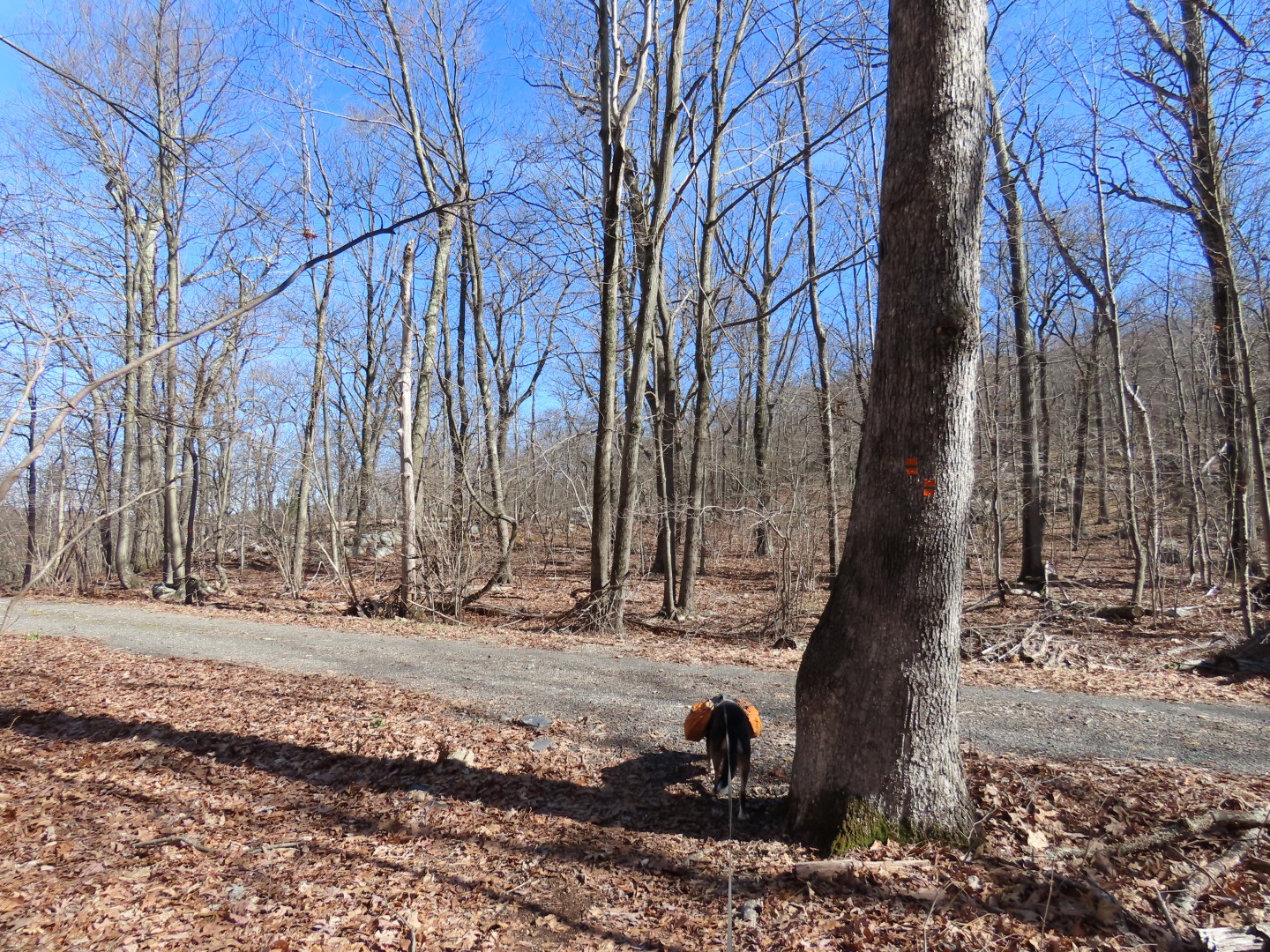 |
| The trail comes out on a gravel road that it will follow downhill all the way to it's end. |

 |
| At the end of orange, a few steps ahead ... |
 |
| ... right on green. |
 |
| This is a more pleasant grassy woods road. |


 |
| Coming out at Orange Turnpike ... |
 |
| ... the green trail ends and keeping right after the gate ... |
 |
| ... to a short walk down a residential street to the bend ... |
 |
| ... leads to a small gravel parking lot and the orange/white trail. |


 |
| Arriving at the pond with the confusing blazes from earlier, the blazes make more sense coming from this direction. We turned left to retrace on white. |


 |
| We only encountered two men heading up a mile from the parking lot but saw nobody else the entire hike. |