

ABOUT THE PARK:
Minister Creek - USDA
DIRECTIONS:
GPS Coordinates 41.620548, -79.153618
 |
| Minister Creek Parking Lot |
TRAIL MAP:
HIKE DISTANCE: 6.4 miles
THE HIKE:
Heading back to New Jersey from Missouri on travel day 2, hike 2 of 2.


 |
| The trail starts across the street from the parking lot to the left of the blue sign. We would be returning via the campground road on the right. |

 |
| The trail is well-blazed with gray diamonds. |
 |
| Female Black-throated Blue Warbler |
 |
| Although we would mostly be hiking the North Loop, we took the left fork to the South Loop to hike the perimeter. |

 |
| Standoff with a chipmunk. |


 |
| Where this arrow points down, it really does mean down... |
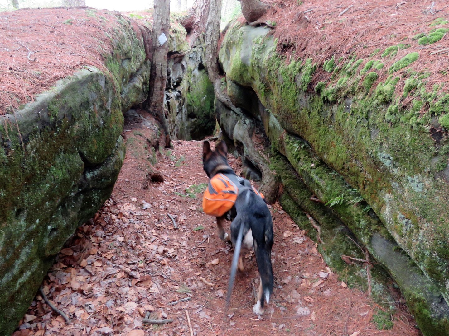 |
| ... steeply into the crevice. |


 |
| The leaves were just starting to come out here. It was like stepping back a month in time since other places I had been were already in full foliage. |

 |
| Minister Valley Overlook |

 |
| Now on the North Loop. |


 |
| Several small creek crossings. |


 |
| Minister Creek |

 |
| The stepping stones for this crossing are under a couple of inches of water so feet get wet. |

 |
| The North Country Trail joins in from the left at a campground. |


 |
| The North Country Trail leaves to the left. |


 |
| Minister Creek can be heard down below. |
 |
| Crossing Minister Creek |
 |
| A small waterfall on the opposite side of Minister Creek. |

 |
| Where the North Loop turns right, we stayed straight on the Fishing Trail. |


 |
| Through the campground ... |
 |
| ... and across the street to the parking lot which was filling up with weekend backpackers. |
