Wharton State Forest - New Jersey Department of Environmental Protection
NJ State Long Trail - Sierra Club New Jersey Chapter
DIRECTIONS:
GPS Coordinates 39.64487, -74.64699
 |
| Batsto Historic Site Parking Lot |
TRAIL MAP:
Wharton State Forest Trail Map - New Jersey Department of Environmental Protection
HIKE DISTANCE: 14.1 miles
THE HIKE:
 |
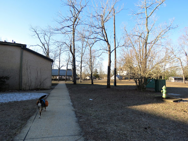
| Starting off through Batsto Village. |
 |
| It is a straight shot through the village to the hiking trails. |
 |
| The yellow trail was the destination but I wanted to capture the orange Tom's Pond Trail also since that trail was closed due to flooding when I last hiked this loop in 2010. I did not know what the blue marker with an S on it was for until I uploaded my track into Google Earth when I got home. Turns out that is the blue-blazed NJ State Long Trail. I had loaded tracks of the trail into Google Earth so I could see that is where I had been. This trail is not on the park map as it is pretty new. |
 |
| Continuing on orange/yellow/blue S. |
 |
| Just after this bridge we turned right on an unmarked trail as it looked like it would loop back around to orange/yellow/blue S but might be a bit more scenic. |
 |
| Back on orange/yellow/blue S. |
 |
| At this bridge is where the trails split apart. Yellow goes right over that bridge - that would be for later. |
 |
| To the left is blue - we'd come in the the other side of that after orange. |
 |
| For now straight on the orange Tom's Creek Trail. |
 |
| The trail forms a loop and after coming back over this bridge, orange retraces to the left but we veered right at the fork on un unmarked trail. |
 |
| That came out on a sand road where we turned left ... |
 |
| ... then left on blue. Blue continues straight on the sand road also but this would take us back to the intersection where we needed to pick up yellow. |
 |
| And here we are, now crossing the bridge on yellow where we would be for several miles. |
 |
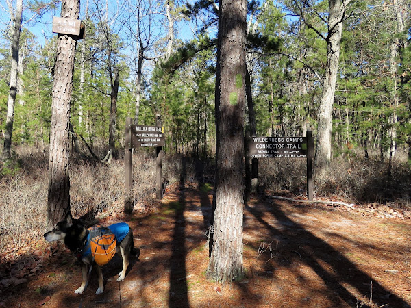
| Right on the green Wilderness Camps Connector Trail. |
 |
| Green will turn right with purple joining from the left... |
 |
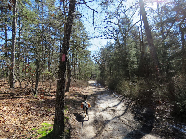
| Right on the pink-blazed Batona Trail. |
 |
| This looks like a burn area with tons of baby pines coming up. |
 |
 |
 |
| The Batona Trail continues to the left; we veered right on the white trail. |
 |
| The blue S NJ State Long Trail follows along this trail also. |
 |
| Note that these light blue blazes are a state forest trail, not the NJ State Long Trail, whish is probably why it is designated with the S where it overlaps state forest trails. |
 |
| Where I had not run into anyone the entire hike, this trail was starting to get busy wo we turned left on red. |
 |
| Then the green mountain bike trail ... |
 |
| ... back to the parking lot. |


