Showing posts with label VA Jefferson National Forest. Show all posts

Friday, May 11, 2012

Jefferson National Forest, VA - Cascades and Barney's Wall


ABOUT THE PARK:
Cascades Day Use Area - USDA Forest Service
Cascade Falls - Giles County, Virginia

DIRECTIONS:
GPS Coordinates 37.353838,-80.598986

View Larger Map
Looking back at the parking lot from the trail head next to the restroom building.
On the way in, just before the parking lot, pull off to the right to self pay the extremely reasonable $3 parking fee.  If you don't pay, the fine is $75.

TRAIL MAP:
Picture of the map at the trail head.  I drew in the continuation to the Upper Falls and Barney's Wall
Click here for a map that shows more of the trails in the area.

HIKE DISTANCE:  8.3 miles (Cascades Trails only - 4 miles)

THE HIKE:
Start the hike to the right of the restroom building at the far end of the parking lot.
Trail Entrance
The trail follows along the left side of Little Stony Creek.
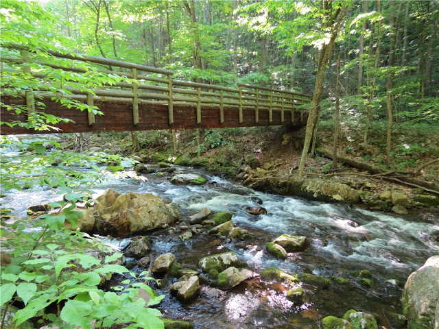
At the first bridge, the trails split.  The Upper Cascades Trail (return route) continues straight ahead.  Turn right and cross the bridge to the other side of Little Stony Creek for the Lower Cascades Trail.
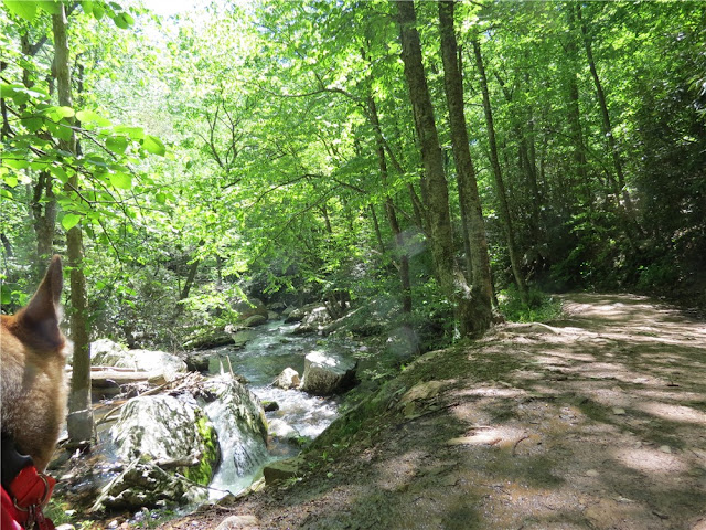
Lovely small cascades all along Little Stony Creek.
A lot of old stonework and steps along the way.  The second bridge leads back to the other side of Little Stony Creek, still on the Lower Falls Trail.  The Upper Falls Trail is now at a higher elevation and can be reached via short connector trails to the left if the hike needs to be cut short.
Trail signs are etched in stone.  This is the half way point to the falls.
More old steps leading up to the falls.
At the end, the Cascades.  The wooden steps on the left lead to an observation deck by turning right part of the way up the steps, or left to the Upper Cascades Trail and the continuation to the Upper Falls and Barney's Wall.
Taking the left branch of the steps, ascend to an intersection where the Upper Cascades Trail is to the left for the 4 mile hike, or turn right to continue on to Barney's Wall. 
Just before reaching the Conservancy Trail, a short side trail to the right leads to the upper falls.
Although it takes a few different trails to reach Barney's Wall, they are all blazed yellow so instead of the blazes denoting individual trails, the yellow blazes lead the way to Barney's Wall.  It is a relentless ascent until the trail finally levels out at the top.
View from Barney's Wall.
Rocks at Barney's Wall make a nice break spot.
Returning on the Upper Falls Trail.

HIKE SUMMARY:
[0.00]    Start on the unblazed trail to right of restroom at far end of parking lot
[0.20]    Turn right and cross bridge (Upper Cascades Trail continues straight not crossing the bridge)
[1.05]    Cross second bridge and turn right; connector trail from Upper Cascades Trail joins in from the left
[1.40]    Cross bridge running parallel to creek
[1.70]    Cross bridge running parallel to creek
[2.15]    Arrive at lower cascades; go up wooden steps and at t-intersection turn right to observation deck; retrace
[2.20]    Coming from observation deck continue straight when steps to the left lead back down to the Lower Cascades Trail
[2.30]    At clearing turn right on fire road towards Conservancy Trail and Barney's Wall  (For a 4 mile hike, turn left on fire road which is the Upper Cascades Trail back to the parking lot.)
[2.70]    Continue on fire road as it turns left, unmarked trail leaves to the right (short trail with no view)
[2.75]    Turn right on unmarked trail leaving fire road, switchback down to upper falls
[2.85]    Upper falls; retrace
[2.95]    Turn right to continue on fire road short distance then turn left on yellow-blazed Conservancy Trail
[3.40]    Go through rhododendron tunnel and rock hop creek
[4.10]    Turn left at intersection on Barney's Wall Trail (still blazed yellow) when Conservancy Trail goes right
[4.40]    At circle keep right and turn right on first trail before fire pit, descent to Barney's Wall (trail blazed yellow but blazes not visible until on the trail)
[4.50]    Barney's Wall; retrace
[4.60]    Turn left at circle then left on Barney's Wall Trail
[4.90]    Turn right on the Conservancy Trail at intersection
[5.60]    Go through rhododendron tunnel and rock hop creek
[6.10]    Turn right at intersection on fire road towards Cascades Trail
[6.50]    Keep straight on fire road which is now the Upper Trail
[6.70]    Keep straight when trail to left connects to Lower Trail
[7.25]    Keep straight when trail to left connects to Lower Trail
[8.10]    Keep straight at bridge
[8.30]    Back at parking lot

Friday, April 29, 2011

Apple Orchard Mountain - Blue Ridge Parkway/Jefferson National Forest, VA


ABOUT THE PARK:  Apple Orchard Mountain - Wikipedia

DIRECTIONS:
GPS Coordinates 37.507866, -79.524040

View Larger Map


TRAIL MAP:  
Apple Orchard Falls and Cornelius Creek Trails Brochure (partial: shows parking to A.T.) - US Forest Service

HIKE DISTANCE:  4.25 miles

HIKE DESCRIPTION:
This hike can be done in conjunction with the Apple Orchard Falls hike but since it was raining pretty hard at the higher elevations on the day I did the falls hike, I saved the mountain for a prettier day.  The mountain hike starts on the Blue Ridge Parkway at the Apple Orchard Falls sign.
Follow the paved trail next to the sign which soon turns veers right into a dirt trail then comes to an intersection with the white-blazed Appalachian Trail, the route to the summit of Apple Orchard Mountain.
FAA Radome at the summit.
Open grassy areas at the summit make for nice break spots with great views.

Continue across on the A.T. and descend about a quarter of a mile to see The Guillotine before heading back:

HIKE SUMMARY:
[  0.00]  Start on paved trail at overlook sign in parking lot
[  0.30]  Right on white-blazed Appalachian Trail at intersection
[  0.35]  Cross Parker Gap Road
[  1.85]  Summit of Apple Orchard Mountain; unofficial trails behind summit sign to views; continue on A.T.
[  2.05]  Stone steps descend
[  2.10]  Guillotine; retrace steps
[  2.35]  Back at summit; unofficial trails behind summit sign to views
[  3.90]  Cross Parker Gap Road
[  3.95]  At intersection turn left on Apple Orchard Falls Trail
[  4.25]  Back at parking lot

Wednesday, April 27, 2011

Apple Orchard Falls, Jefferson National Forest, VA


ABOUT THE PARK:  Apple Orchard Falls - US Forest Service

DIRECTIONS:
GPS Coordinates 37.5296,-79.553

View Larger Map

TRAIL MAP:  Apple Orchard Falls and Cornelius Creek Trails Brochure - US Forest Service

HIKE DISTANCE:  5.6 miles

HIKE DESCRIPTION:
Since I prefer to ascend more steeply and descend less steeply, I took the steeper Apple Orchard Falls trail up.  On this particular day, it was not raining at the beginning of the hike but the higher I climbed, the harder it rained.  Turned out to be a very nice hike anyway.
Where there are two bridges to the left, take the second bridge.
Watch your step!
Apple Orchard Falls
Wooden steps after Apple Orchard Falls
View from a bench almost at the top of the wooden steps - even nice on a rainy day.
The top of the falls.
The Cornelius Creek Trail descends back to the parking lot and is just a plain old trail through the woods in the beginning but once it meets up with the creek you'll be following the creek and rock hopping across several times making this a very pleasant and scenic part of the hike.  Unfortunately, my camera got damp from the drizzle and would not take any more pictures until it had dried out at the end of the hike so I don't have any pictures from the best part of the trail.

 
HIKE SUMMARY:
[  0.00]  From parking lot take the Apple Orchard Falls Trail to left of information board
[  0.20]  Right at fork
[  1.15]  At second bridge turn left and cross bridge
[  1.45]  Trail sign pointing in opposite direction, ignore and continue straight ahead
[  1.70]  Cross two consecutive bridges
[  1.80]  Bridges and decking at Apple Orchard Falls; ascend wooden steps after falls; view at bench
[  2.15]  Bridge at top of falls
[  2.50]  At intersection turn right on woods road, Apple Orchard Falls Road
[  3.50]  At intersection keep straight on Cornelius Creek Trail, a footpath leaving the woods road
[  4.10]  Cross Cornelius Creek; trail becomes very scenic with multiple rock hops across creek
[  4.60]  Cross creek then cross bridge
[  5.65]  Back at parking lot

Sunday, June 27, 2010

Grayson Highlands State Park and Mount Rogers (Mouth of Wilson, VA)


ABOUT THE PARK:
Grayson Highlands State Park: Virginia Department of Conservation and Recreation
Mount Rogers: Wikipedia

TRAIL MAP:
Grayson Highlands State Park Trails: Online Map
National Geographic Map Covering Entire Hike: Purchase


DIRECTIONS:
From Hungry Mother State Park - 40 miles, a little over an hour on scenic hilly, winding country roads
Highway 16 south through Marion for about 25 miles, right on Route 58 to right on Route 362 into Grayson Highlands State Park.
GPS coordinates to visitors center: 36 37.4950 -81 30.0349
Follow Route 362 until you reach the Massie Gap Parking area on the right.


HIKE DISTANCE: To the summit of Mount Rogers and back, 10 miles. You can turn around at any point to shorten the distance.

SOME THINGS TO KEEP IN MIND ABOUT THIS HIKE: This is a hugely popular hike and is supposedly very crowded on weekends. I did this hike on a Monday and there were a lot of hikers for a weekday. There will be no shade for about 95% of this hike. Plan on bringing twice as much water as you normally would or a pump and filter to get water from the spring about 4 miles out at the end of the blue-blazed trail behind the Thomas Knob shelter. Bring a high SPF sunblock and plan on reapplying.

HIKE DIRECTIONS:
As you drive in on Route 362, you will pass Sugarlands Overlook on the right which is worth stopping at.


From the Massie Gap parking lot, follow the blue-blazed Rhododendron Trail for 1/2 mile to the white-blazed Appalachian Trail towards Mount Rogers. Intersections are well marked with signs heading you in the right direction.

Before leaving the gated park boundary you should see some of the wild ponies that live in the park. You will later pass another herd in Jefferson National Forest.

My dog is exceptionally good with other animals so I allowed this adult male pony to approach her as he was showing an interest. He wanted nothing to do with me, only my dog and they ended up licking each other's faces.


You will come to a fork where the blue-blazed Wilburn Ridge Trail splits off from the white-blazed Appalachian Trail. These trails run parallel and meet back up so it's your choice which one to take. The Wilburn Ridge Trail is less heavily traveled but it has some steep rock scrambles. The payoff is incredible 360 degree views. For this hike I took the Wilburn Ridge Trail out and the Appalachian Trail back.

Heading out on the Wilburn Ridge Trail:


I tried to capture the 360 degree views in a movie. Sorry it's a little shaky. I was perched up high on a rock trying to slowly pivot in a circle with a dog leaning into my legs...


Meet back up with the white-blazed Appalachian Trail and continue towards Mount Rogers passing the Thomas Knob shelter.


Note the items hanging from the roof of the shelter. These are called "mouse hangers" where Appalachian Trail thru hikers hang their backpacks so mice cannot climb down the ropes beyond the obstacles to get into the backpacks.


To the left behind the shelter you will find a blue-blazed trail leading to the fenced area where the spring is. You will need a pump and filter to refill water bottles from the spring.


Continue on the white-blazed Appalachian Trail turning right on the blue-blazed Mount Rogers spur trail. You will soon enter a dark, cool, mossy, fragrant spruce-fir forest that feels like you have stepped into another world.


When the blue blazes end, start looking around for the summit benchmarks. There are supposed to be 4, I only found 1. You will be at the summit of Mount Rogers at 5,729 feet. There are no views but the forest you are standing in is worth experiencing.


From this point simply retrace your steps back to the parking lot following the white-blazed Appalachian Trail.


Another herd of ponies with some adorable babies: