

Worthington State Forest - New Jersey State Park Service
Delaware Water Gap National Recreation Area - National Park Service
DIRECTIONS:
GPS Coordinates 41.01750, -75.07035
 |
| Rockcores Trail parking with room for about 3 cars. |
TRAIL MAP:
Delaware Water Gap and Kittatinny Trails Map 120 - NYNJ Trail Conference
Worthington State Forest Trail Map - New Jersey State Park Service
HIKE DISTANCE: 10.5 miles
THE HIKE:
Old Mine Road is closed every winter until April 15. No road access means lots of solitude in the otherwise popular Delaware Water Gap. To take advantage of that I incorporated Old Mine Road to form a loop hike.
 |
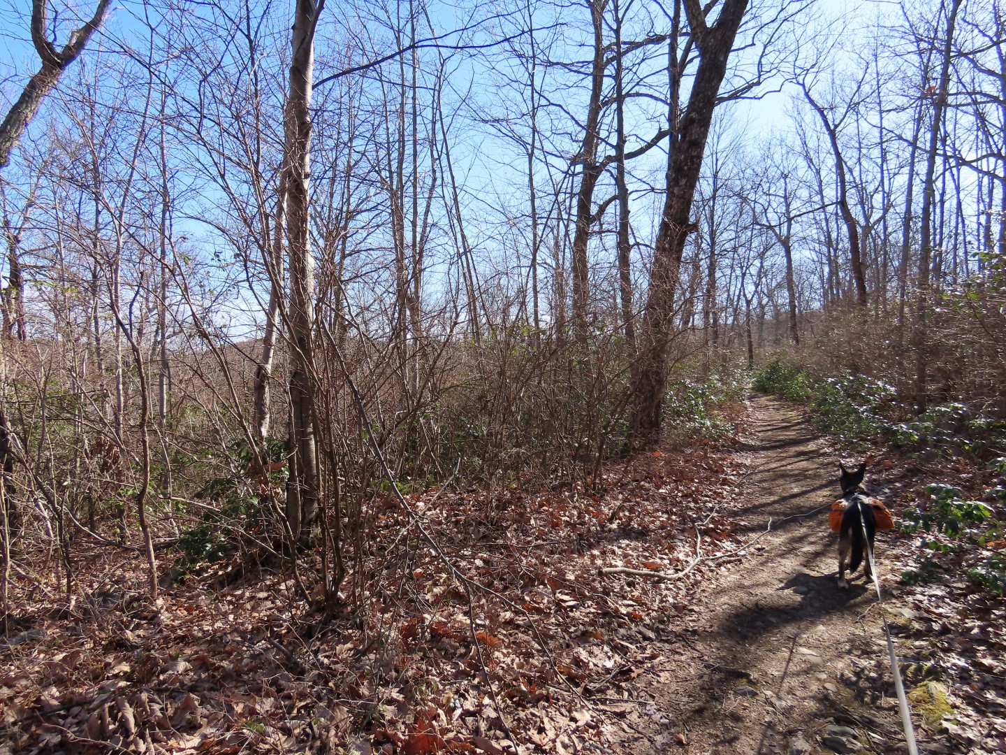
| The Rockcores Trail strats from the parking lot along the Delaware River. |


 |
| It veers away from the river ... |
 |
| ... crosses Old Mine Road ... |
 |
| ... then heads uphill steeply on switchbacks. |


 |
| Giant cores of rock drilled out of the mountainside in the 1960's to test for the never built (thank goodness) Tocks Island Dam project. |
 |
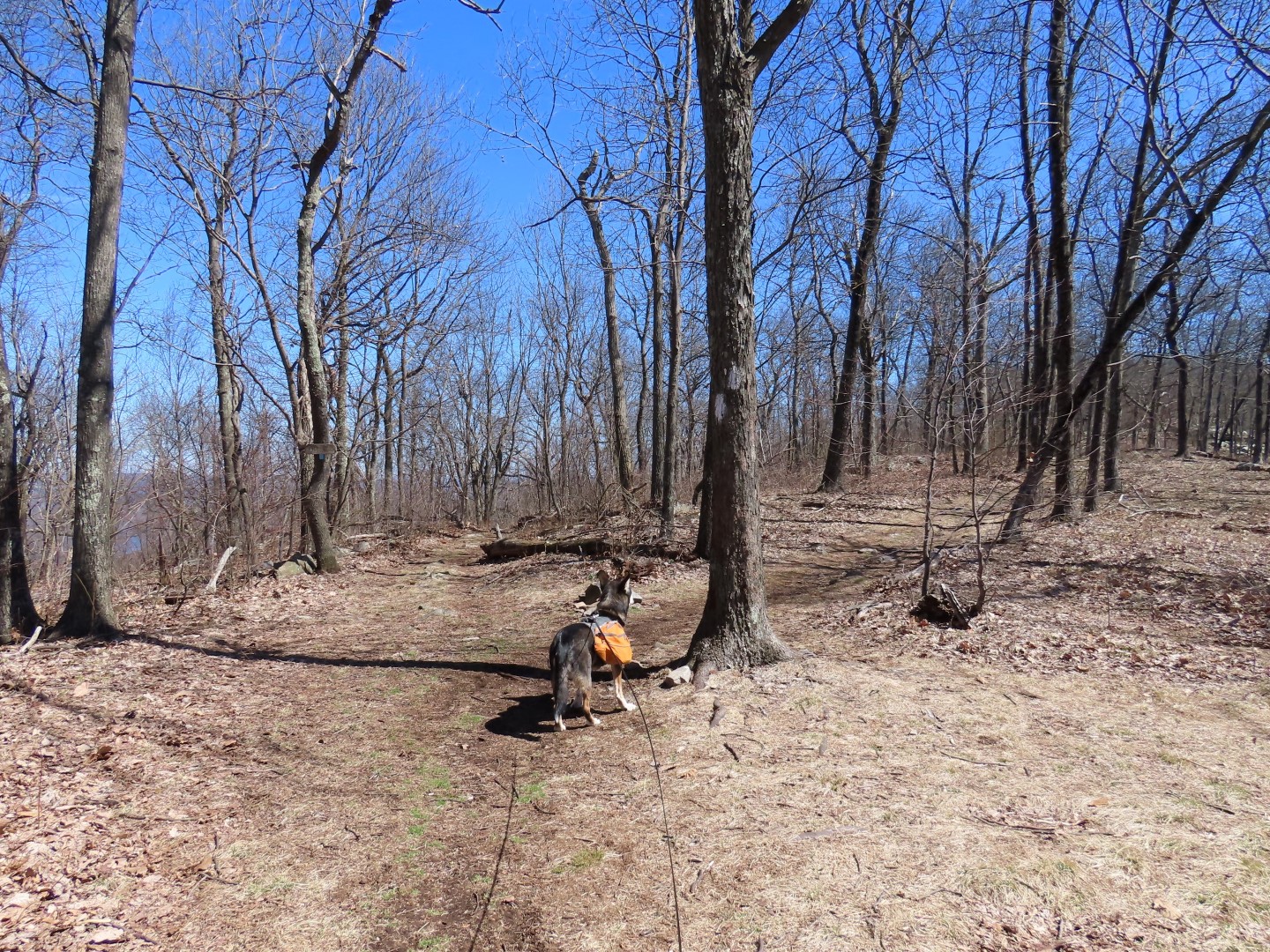
| The trail levels out and it appears that you are at the top but there is a whole other section of climbing yet to come. |


 |
| Left on the red Garvey Springs Trail. |
 |
| This is where the second section of steep uphill begins. |

 |
| At the top, winter views of Sunfish Pond straight ahead. My plan was to turn left here on the Appalachian Trail but it was so quiet and peaceful (none of the crowds and loud hooting and hollering like there is when this area is more accessible) so I just had to turn right and loop around Sunfish Pond. |

 |
| The Appalachian Trail is crazy rocky along this side. |


 |
| Keeping left on the Sunfish Fire Road. |
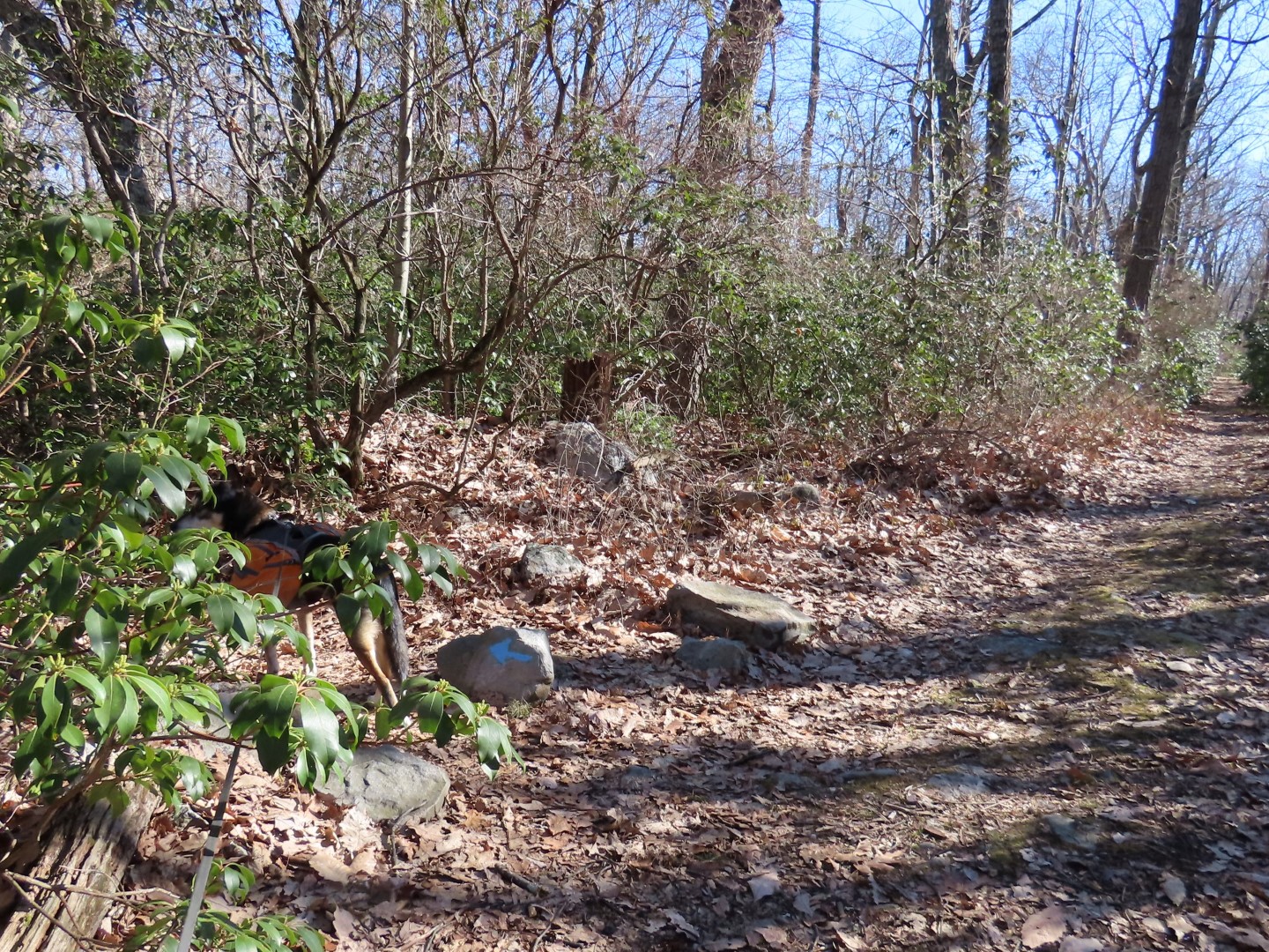 |
| Left at the blue arrow ... |
 |
| ... on the Turquoise Trail. I was really enjoying the rare peace and tranquility when ... |
 |
| ... almost at the end of the Turquoise Trail just before the AT at the Sunfish Pond overlook I heard the dreaded hooting and hollering and there were people at the rock outcrop overlook with plastic trash bags hanging in trees? Then a few steps ahead... |
 |
| Seriously? Smack in the middle of the trail? Camping isn't even allowed anywhere in this area, only at the backpack camping site. |
 |
| I had internet service so I googled Worthington State Forest and got the phone number. I called to report it and got a recording saying to call the State Park Police but the number was so fast and garbled I could not get it. I tried to Google that and lost internet service so I had to let it go. But I did send the pictures and report it via private message on Worthington State Forest's Facebook page when I returned home. I received a response stating someone else had reported it, the park police investigated but the campers had already left. The officer had to clean up the mess they left behind and put out camp fires. Grrrrr. |
 |
| At the end of turquoise right on the Appalachian Trail. |

 |
| The entire stretch along Raccoon Ridge is very scenic, especially with no leaves on the trees yet. |


 |
| Lower Yards Creek Reservoir below on the left. |
 |
| Coming up on a huge rock pile at the overlooks. |
 |
| The Delaware River to the west. |
 |
| Lower Yards Creek Reservoir to the east. |


 |
| Leaving Worthington State Forest and entering the Delaware Water Gap NRA. |


 |
| Where the AT turns right, we continued straight on the blue Kaiser Trail. |


 |
| Right on the blue/red connector trail to head over to the Coppermine Trail. |


 |
| Left on the red Coppermine Trail. |


 |
| Left on the blue connector trail to get back over to the Kaiser Trail. |
 |
| The connector trail ascends very steeply. |
 |
| It levels out for a bit at the top... |
 |
| ... before meeting up with the Kaiser Trail where we turned right. |
 |
| This is a pretty smooth woods road all the way down. |

 |
| The Kaiser Trail ends at Old Mine Road where we turned right a few steps ... |
 |
| ... to the Kaiser Trail parking lot, now deserted with the road closed, to change into sneakers for the road walk. |
 |
| And off we go on Old Mine Road for 1.85 miles of road walking. |
 |
| There are several dilapidated old houses along the way. |

 |
| Love these gated seasonally closed roads! |
 |
| So do they. |
 |
| Leaving the Delaware Water Gap at the point where the road is gated to traffic. |
 |
| Although this section of road is open, some people did not get the memo (warning sign that the road is closed up ahead) and drove in anyway just to turn around and go back. Fortunately there weren't too many so it was still a fairly peaceful road walk. |
 |
| Lots of duck pairs in the Delaware River. A wood duck couple. |
 |
| Mallards |
 |
| Common Merganser |


 |
| Back at the parking lot. |