

High Mountain Park Preserve - The Nature Conservancy
DIRECTIONS:
GPS Coordinates 40.95203, -74.20014
 |
| University Drive Parking Lot |
TRAIL MAP:
High Mountain Trail Map - The Nature Conservancy
HIKE DISTANCE: 9.3 miles
THE HIKE:
I had not yet decided where to hike this weekend when I received the "News from the Trail Conference" email asking for trail users to take a survey for input regarding trails at High Mountain Park Preserve. I had not hiked there in 13 years so the decision was made - that would be this weekend's hike and I would complete the survey based on that experience of hiking a loop using official (marked) and unofficial (unmarked) trails.
 |
| The red trail starts parallel to University Drive - there are no red markers that I noticed. |
 |
| The red blazes begin a short distance along the way. |
 |
| The marked trails all seem to be wide woods roads. |


 |
| Turning right on the yellow Summit Trail. |


 |
| Where yellow turns left at the number 7 emergency locator sign, we continued straight steeply downhill on a woods road to ... |
 |
| ... waterfalls on the right. |


 |
| The woods road continues past the waterfalls to the red trail where we crossed red and continued on an unmarked but well-defined trail that switchbacked uphill. |


 |
| This led us back to yellow where we turned right. |

 |
| Yellow ends at a residential street where we turned left. |
 |
| Around to the other side of the circle ... |
 |
| ... to left on orange. |

 |
| We turned right on an unmarked woods road and worked our way over to Buttermilk Falls. |


 |
| Buttermilk Falls |
 |
| From the falls, left on orange. We would be staying on orange to the next overlook. |


 |
| According to New Jersey Natural Lands Trust, "Several rock shelters in the Franklin Clove section of the nature preserve have been determined to be sites of prehistoric human habitation. Native Americans of the Lenape tribe wintered in the Clove during the 1600s." |


 |
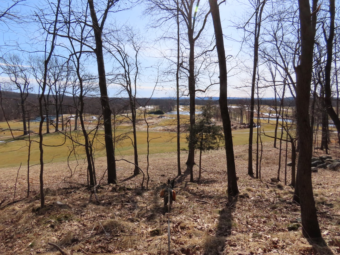
| A bit off of the orange trail to the right, a view of Point View Reservoir. |
 |
| From the overlook I had a hard time finding the trail I wanted. Orange would have taken me back to where I picked it up from that residential street so that was not an option. I finally found a trail and knew I actually wanted one parallel to the right and I could see it way down off the steep vertical drop... Oh my! How to get there? |
 |
| I stayed with this trail for a bit to see if there was a way down to the trail I wanted. |
 |
| Where the trail turned sharply left at the boulder I continued straight to have a look and ... |
 |
| ... yay! It was a slope gentle enough to bushwhack down a short distance to where I saw the sawed log indicating the trail I wanted. |
 |
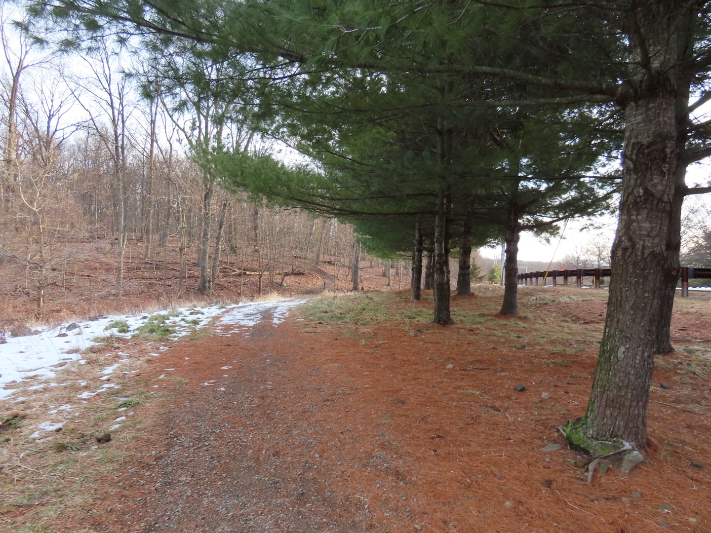
| Passing by North Jersey Country Club. |

 |
| Ancients Pond |
 |
| After looping around the pond to the right, the unmarked trail ran into the white trail where we turned right. |
 |
| We would be on white to it's end at the red trail. |


 |
| The trail is also blazed in yellow which is not on the map. |


 |
| When white turns left, yellow continues straight to a residential street. |

 |
| White ends at red where we turned right. |
 |
| Passing by the yellow trail to the overlook from the beginning of the hike. |

 |
| When red turns right you can also go straight (it meets back up with red) ... |
 |
| ... for a bit of a winter view. |
 |
| Back along University Drive ... |
 |
| ... to the parking lot which I had expected to be way more crowded than it was. |