ABOUT THE PARK:
Turkey Run State Park - Indiana Department of Natural Resources
Turkey Run State Park - Historic Turkey Run State Park
DIRECTIONS:
GPS Coordinates 39.88731, -87.20127
 |
| Parking at the far end of the lot in front of the Nature Center. |
TRAIL MAP:
Turkey Run State Park Map - Indiana Department of Natural Resources
Descriptions of Hiking Trails - Historic Turkey Run State Park
HIKE DISTANCE: 6 miles
THE HIKE:
 |
| From the parking lot I could find no indication of where the trails begin. Head behind the nature center and follow paths that lead to ... |
 |
| ... steps down to the suspension bridge. |
 |
| We would be coming back on the suspension bridge. |
 |
| To start, right on Trail 1 before the bridge. |
 |
| Trail 1 follows Sugar Creek which was a raging river after all of the rain in the area. |
 |
| We were heading towards that red covered bridge in the distance to cross over Sugar Creek. |
 |
| Sugar Creek views from inside the covered bridge. |
 |
| Just after the bridge, left on Trail 4 which follows along Sugar Creek on the opposite side from Trail 1. |
 |
| Coming up on the suspension bridge, Trail 4 goes underneath the bridge then right on Trail 3. |
 |
| Trail 3 goes through a canyon and most of the trail is the creek through the canyon. |
 |
| Mr. I-don't-get-my-paws-wet Brodie had to have a change of heart about that. He had no choice. |
 |
| Pictures don't do it justice. It's incredibly beautiful through this gorge but hiking is pretty strenuous. |
 |
| There aren't many trail markers so I often wondered if I was still on the trail. |
 |
| When I came to this part with cascades coming down the rocks, I thought I missed the trail. Certainly it could not go up the cascades. Or could it? |
 |
| I then heard other hikers coming and indeed, they were coming down the waterfalls. |
 |
| And up we go. |
 |
| Fortunately, the rock surface was not slimy and slippery at all, there was very good traction even on wet parts. |
 |
| Up ahead, some steps carved into the stone that we needed to use to ... |
 |
| ... get up on a narrow ledge to get through this section. |
 |
| Punch Bowl |
 |
| After the Punch Bowl, a set of steps up ahead ... |
 |
| ... that lead out of the canyon and to a flat spot at a trail junction. And our break spot. |
 |
| Continuing on Trail 10, a very easy trail after Trail 3. |
 |
| Trail 10 leads to Camel's Back ... |
 |
| ... with not much of a view. |
 |
| Heading back on Trail 10. |
 |
| From Trail 10 we turned right on Trail 3 to connect to Trail 5. |
 |
| Trail 3 goes through another gorge. |
 |
| And intersects with Trail 5 at the ladders. We were able to bypass the first ladder with the trail along the side to Trail 5. |
 |
| Looking down to where Trail 3 continues down two more ladders. Not a part that was doable for us which is why we continued on Trail 5. |
 |
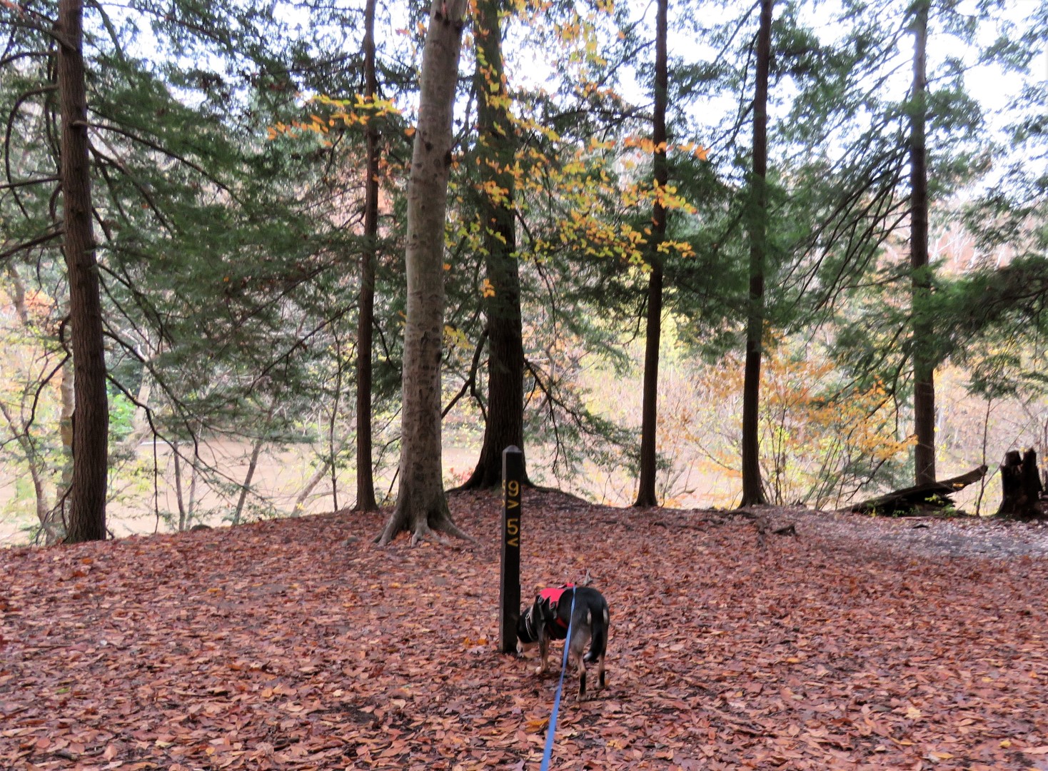
| 140 Steps on Trail 5 - but all told, we did WAY more than 140 steps. |
 |
| Trail 5 turns left at the Sugar Creek but we went right on Trail 9 briefly to ... |
 |
| ... Falls Canyon - just for a look, we had done enough canyon hiking for one day. |
 |
| Back on Trail 5 heading towards the suspension bridge. |
 |
| There are more steps on this hike than I have ever experienced before. Quite the quad workout. |
 |
| Nearing the suspension bridge. |
 |
| Those steps we came down at the beginning of the hike, the last flight up to finish the hike. |
 |
| Back at the parking lot by the nature center. |
 |
| While I was eating a bite of lunch, Brodie already curled up for his post hike nap ... |
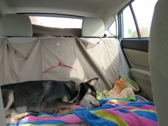 |
| ... which once on the road, became the usual post hike coma. |