

ABOUT THE PARK:
Lake Shelbyville - US Army Corps of Engineers
DIRECTIONS:
GPS Coordinates 39.56417, -88.63529
 |
| Camp Camfield Parking |
TRAIL MAP:
Camp Camfield Trails - US Army Corps of Engineers
Powered by Wikiloc
HIKE DISTANCE: 7 miles
THE HIKE:
Heading back home from St. Louis, breaking up the drive with hike 1 of 2.
 |
| The trails start behind the kiosk and restroom building. |
 |
| We turned left behind the restroom on the green trail. Trails aren't actually blazed but here are signs every half mile indicating the trail which corresponds to the color on the map and the distance of the total 7 miles of all trails combined. |

 |
| Coming up on a pond with ... |
 |
| American Coots |


 |
| A palm warbler migrating through on its way to breeding grounds in Canada. |


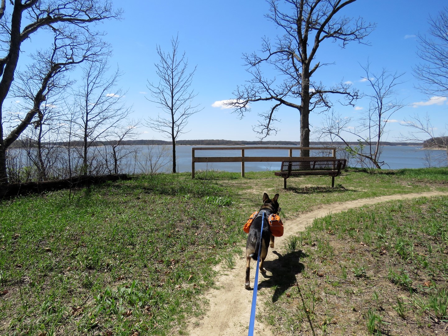 |
| Coming up on Lake Shelbyville. |
 |
| The lake is huge; this is just the part you can see from this point. |


 |
| Red-bellied Woodpecker |

 |
| Leaving green and continuing on blue. |

 |
| This would have been a nice picture of a cardinal in flight had the camera actually focused on the bird instead of the branches. |


 |
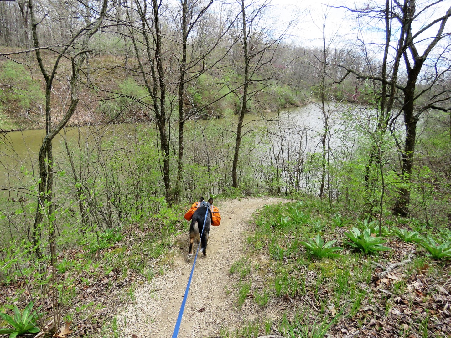
| Another pond that had a really low water level. |


 |
| Two mountain bikers - the only others we saw on the entire hike. |
 |
| Leaving blue to orange. |


 |
| Yellow-rumped Warbler adult male (Myrtle) |


 |
| There was no black trail on the map and we didn't have time for another mile not knowing where it went and needing to stay on schedule to get to the motel in Columbus OH before it got too late so we went in the direction of the trail head which merges back with blue and finishes up the 7-mile loop. |


 |
| Blue starts to parallel the road and stays there all the way to the parking lot even though the map shows it turning right through a field. |

 |
| A pretty path between pines back to the parking lot. |
 |
| He did not move for the next 5 hours all the way to Columbus, OH. Brodie did not pack out any trash because there were so many beer cans far off the trails that bushwhacking to pick up a few would not have made a difference. |