Bramley Mountain Trails - Catskill Mountain Club
Although not required for this hike, the trail register asks if you have a watershed permit. It takes a minute to fill out the form and print out the free permit online so why not? I always have a valid permit in my backpack just in case I do need it.
DIRECTIONS:
GPS Coordinates 42.299168, -74.835699

TRAIL MAP:
Bramley Mountain Trails - Catskill Mountain Club
HIKE DISTANCE: 3.8 miles
THE HIKE:
This hike is part of the
Catskill Mountain Club Hiking Trails Challenge.

 |
| This hike starts out nice and easy on a quiet woods road. |


 |
| Gazillions of tadpoles in a puddle. |

 |
| Rose-breasted Grosbeak |
 |
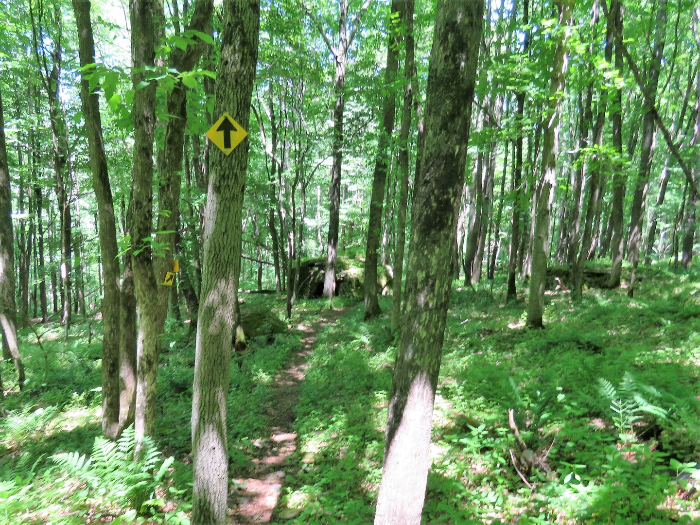
| The trail gets steeper at the top. |


 |
| But once at the top there are several overlooks. |


 |
| Even descending on the other side of the mountain there are views along the way. |

 |
| The descent is not as steep as going up was. |


 |
| The trail parallels Glen Burnie Road ... |
 |
| ... just before arriving back at the parking lot. |