

Franklin Parker Preserve - New Jersey Conservation Foundation
DIRECTIONS:
GPS Coordinates 39.81360, -74.54769
 |
| Chatsworth Lake Entrance Parking |
TRAIL MAP:
Franklin Parker Preserve Trail Map - New Jersey Conservation Foundation
HIKE DISTANCE: 11 miles
THE HIKE:
It had been 14 years since I last hiked here so it was time to revisit.
 |
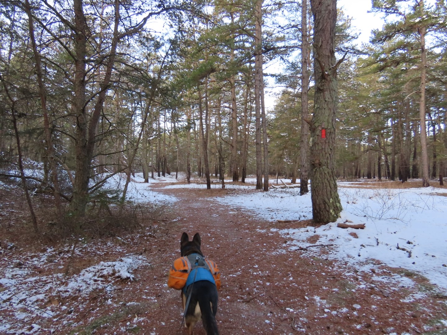
| Facing the entrance to the preserve, taking the red trail on the right. |


 |
| Crossing defunct railroad tracks. |

 |
| This trail is not on the map and appears to be new. It is a very short but nice loop. |


 |
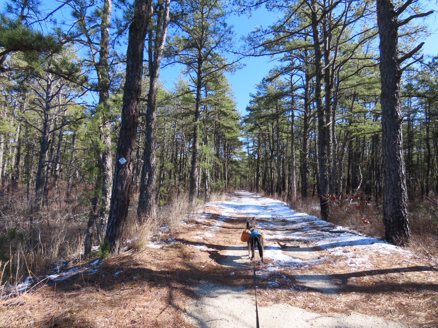
| Back on red which has joined green on a sand road. |

 |
| Coming up on an observation deck. |
 |
| Views from the observation deck. |


 |
| Red leaves green on a footpath. |

 |
| Rejoining green on the sand road. |
 |
| When red leaves to the left we stayed with green with the intention of doing a perimeter loop. |


 |
| Right on white keeping with the perimeter loop plan. |


 |
| Passing a blue connector trail on the left which would come into play a little later. |
 |
| Approaching Bald Eagle Reservoir. |
 |
| Bald Eagle Reservoir |
 |
| I had remembered seeing swans in Bald Eagle Reservoir 14 year ago. I found them but they were way over at the far end where I had to zoom in with the camera to see them. |

 |
| The white trail makes a left turn ... |
 |
| .... and uh oh. This water was at least mid shin deep so had to turn back. |
 |
| Tried an unmarked sand road that should have bypassed the flooded part of white but it had it's own flooded area. The group ahead of us plowed on through but they were no doubt parked at the Speedwell entrance, a short distance away. I was parked 5 1/2 miles away so I was not going to get wet. |
 |
| Heading back. |
 |
| Turned right on that blue connector trail I had seen earlier. |
 |
| Nice! A bridge. |
 |
| Uh oh. Turning back again. |
 |
| Keeping to the right at intersections to try to work over to the other side of the preserve. |
 |
| This way worked without any flooding. |


 |
| Taking yellow which is where I wanted to be but at this point I had to go left because turning right to regain the perimeter would have made the hike way too long. I will just have to save that for another time. |

 |
| Yellow continues straight but an unmarked trail to the right ... |
 |
| ... led directly to ... |
 |
| ... the other side of the yellow loop which is much more scenic following along ... |
 |
| ... the West Branch Wading River. |
 |
| Right on a blue connector trail ... |
 |
| ... to right on red. We would stay with red all the way back to the parking lot. It will merge in and out as a footpath with green on sand roads along the way. |


