Lake of the Ozarks State Park - Missouri Department of Natural Resources
DIRECTIONS:
GPS Coordinates 38.08381, -92.56379
 |
| Hidden Springs/White Oak Trailhead Parking |
TRAIL MAP:
Missouri State Parks only shows each individual trails online HERE. The trailhead was stocked with full maps at the time of this hike.
 |
| Picture of the full map. |
HIKE DISTANCE: 13.2 miles
THE HIKE:
 |
| From the parking lot we turned right on the paved road then left on the gravel road up ahead, Ridge Crest Road. |
 |
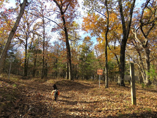
| Shortly after turning left on Ridge Crest Road, the Four Winds Trailhead is on the right. |


 |
| I had read that this trail is overgrown, poorly marked and easy to get lost on. I did not find that to be the case at all. The trail markers appear to have been refreshed, the trail was mostly woods road and always clear and I just can't imagine getting lost on it. |


 |
| There were several trail closed signs but those are for overgrown woods road that are not part of the trail. |
 |
| There are letters throughout and I did not know what they were for. At the end of the hike I asked a couple of horseback riders and they said it is to better pinpoint your location if you need to call for help. |
 |
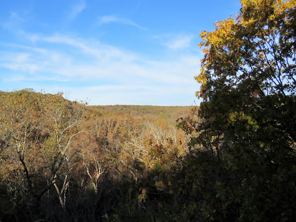
| A side trip to a surprise scenic overlook that is not on the map. |
 |
| The trail winds around back of that huge rock formation that has decking on the top. |


 |
| Approaching the ... |
 |
| ... very disappointing overlook :( |
 |
| Back on the trail there were a number of creek crossings, mostly dry creek beds, but those with water were easily rock hopped at this time. |
 |
| Coming up on Patterson Hollow where a bald eagle took off faster than I could snap a picture. |


 |
| There are a couple of random green markers that don't belong yet. Still on the red trail until ... |
 |
| ... red/green goes right and the green north loop goes left. We went left on green to do a complete loop. |


 |
| There are a couple of gravel road crossings. |


 |
| Where red/green goes right, we went left on red to continue the loop. |


 |
| Passing by a mall airport but this is all that can be seen of it. |


 |
| Coming up on a couple of partial lake views. |


 |
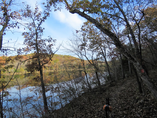
| The section with the lake on the left and the bluffs towering above on the right is particularly scenic. |
 |
| A couple of horses passed by. We had seen nobody else at all until the last couple of miles of the loop. |
 |
| The bluffs to the right. |

 |
| The horses and riders had stopped for a break and we stopped and chatted for a while. Just beyond where they stopped was our left turn to access the Hidden Springs Trail. Had we stayed on the Four Winds Trail it would have been another mile to the car making it a loop of 12.2 miles. Incorporating the Hidden Springs Trail added another mile. |


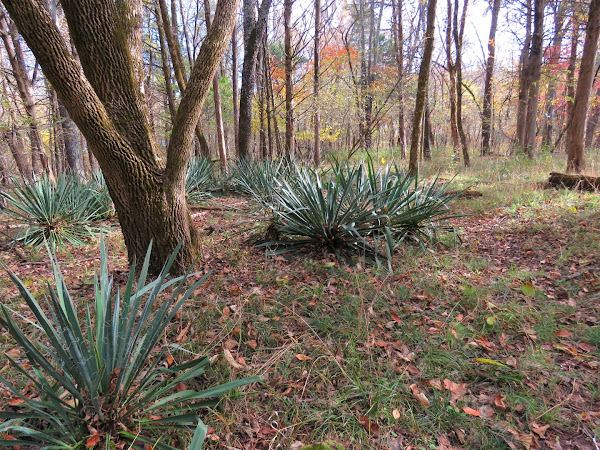 |
| I knew there was supposed to be an old cemetery somewhere and when I saw these plants that looked out of place I thought that might be the spot ... |
 |
| ... and it was! Find A Grave has a lot of detail about these graves. Three of the four are infants. |


 |
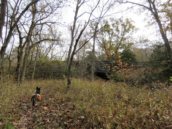
| Finishing up on the Hidden Springs Trail. |