ABOUT THE PARK:
DIRECTIONS:
GPS Coordinates 40.82019, -74.43815
 |
| Parking at Central Park of Hanover |
TRAIL MAP:
HIKE DISTANCE: 6.9 miles
THE HIKE:
Taking advantage of my last dog-free weekend to go where dogs are not allowed. (Brodie will be coming back home in time for hiking next weekend when my post-surgery restrictions are lifted.) Also, with the threat of thunderstorms I figured a more urban hike would be better. Then it turned out to be sunny the entire time. Of course.
 |
| From the parking lot at Central Park following the park path out the exit then along Eden Lane. |
 |
| Baby rabbits having breakfast. (I gave them the "stay out of traffic" lecture.) |
 |
| Crossing over ... |
 |
| Whippany River |
 |
| At the end of the guardrail a right on to the Patriots' Path. |
 |
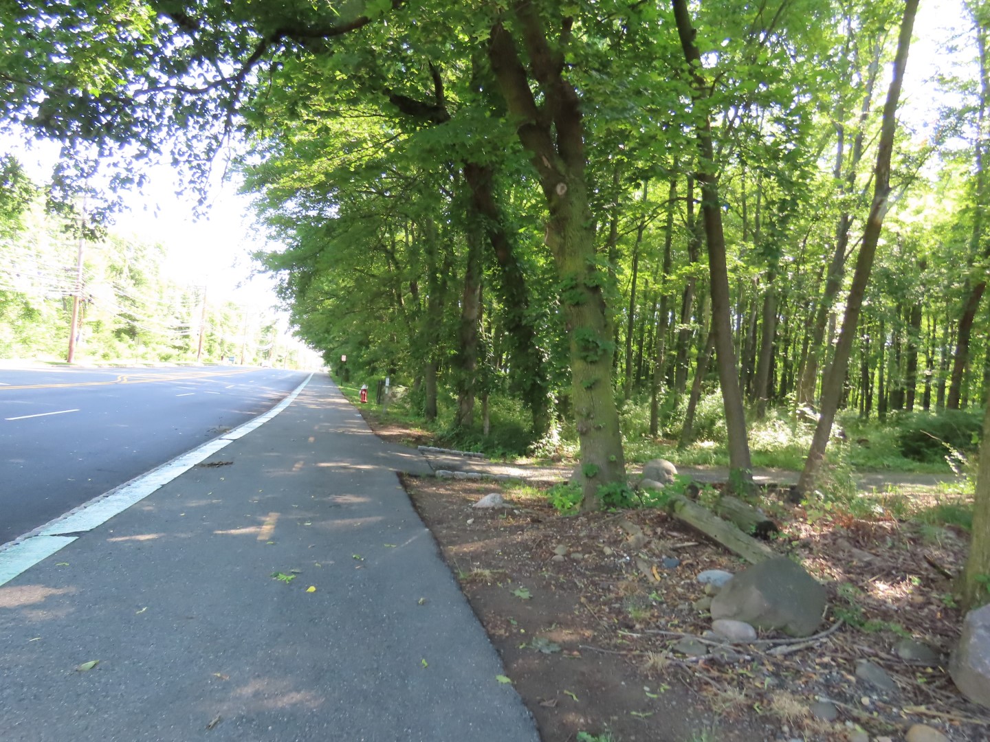
| The paved path through Central Park follows along the Whippany River. |
 |
| At South Jefferson Road, turning left to stay with the Patriots' Path for about a quarter mile road walk. |
 |
| Crossing Cedar Knolls Road ... |
 |
| ... then right on Cedar Knolls Road ... |
 |
| ... across I-287. |
 |
| At the end of the bridge, the Patriots' Path turns left on a paved path. |
 |
| The path follows along the Whippany River with I-287 on the other side of the river. |
 |
| Coming out at an industrial area, right at the brick building ... |
 |
| ... then left at the far end of the Fingerpaint lot ... |
 |
| ... to the bridge to cross the river again. |
 |
| Now it's dirt path for a while. |
 |
| Coming out at Morris County Community Gardens. |
 |
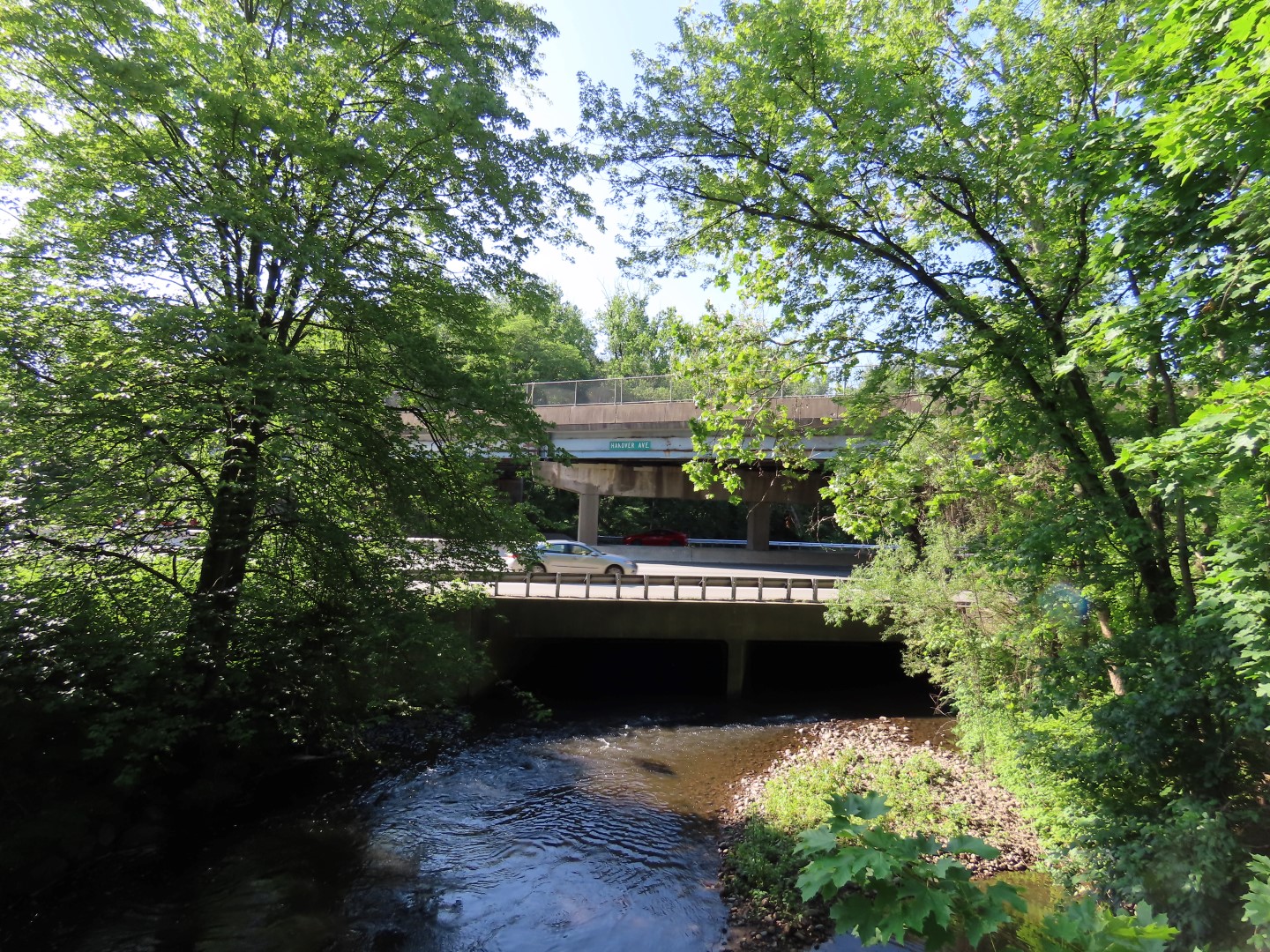
| The Whippany River, I-287 and Hanover Avenue where I would be crossing shortly. |
 |
| Following the road from the community garden along the water treatment facility (phew!)... |
 |
| ... to a left on East Hanover Avenue. |
 |
| At the Morris County Library ... |
 |
| ... right at the crosswalk then left on a blue-blazed branch of the Patriots' Path ... |
 |
| ... into Frelinghuysen Arboretum. |
 |
| I headed to the right away from the main part of the arboretum, taking various trails, where I did not run into anyone else. |
 |
| The green trail runs into the Patriots' Path which leaves the arboretum to the right, I turned left. |
 |
| When the Patriots' Path became paved, I left to take other paths. |
 |
| Detouring through the Fern Garden ... |
 |
| ... then the Knot Garden until it started getting busy and I was at the point where I had to watch my mileage so ... |
 |
| ... I headed out on a path along the entrance road. |
 |
| Crossing back over to the library then left to retrace. |
 |
| Back on South Jefferson I had noticed this path on the right earlier, just after passing Barclays heading back. I had also seen a similar path leaving the paved path through Central Park so I turned right to check it out. |
 |
| It came out into a parking lot and I almost turned back but decided to see if it continued straight across the lot and it did. (This is looking back, I had come out to the left of where that truck is parked and walked straight across the lot.) |
 |
| The path continues all the way to the paved path I was on at the beginning of the hike where I turned left. This eliminated a great deal of road walking on South Jefferson Road. |
 |
| Back on South Jefferson, I turned right ... |
 |
| ... crossed Whippany River ... |
 |
| ... then took the paved path back ... |
 |
| ... to the parking lot. |