Wharton State Forest - New Jersey Department of Environmental Protection
DIRECTIONS:
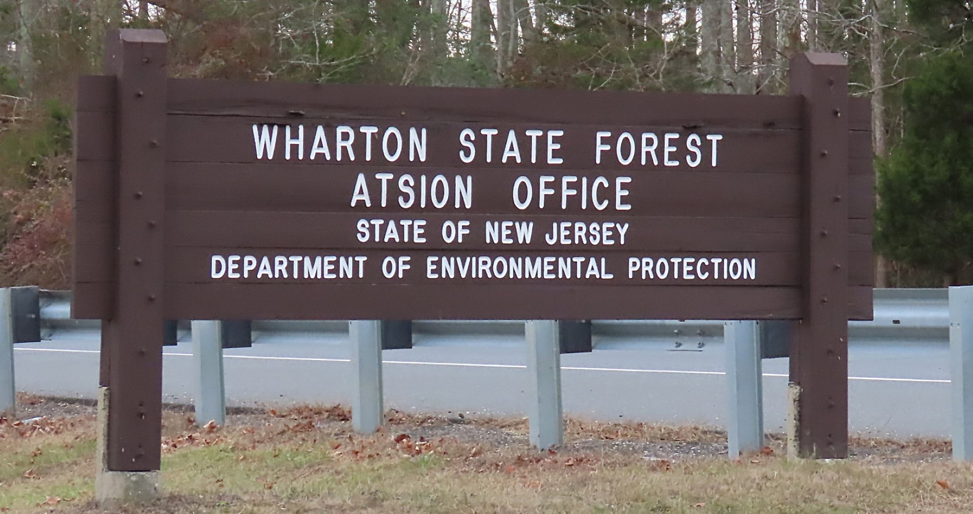
GPS Coordinates 39.74219, -74.72596
 |
| Atsion Parking |
TRAIL MAP:
Wharton State Forest Trail Map (updated 7/22) - New Jersey Department of Environmental Protection
HIKE DISTANCE: 9.6 miles
THE HIKE:
 |
| The yellow Mullica River Trail starts behind the building ruins. |
 |
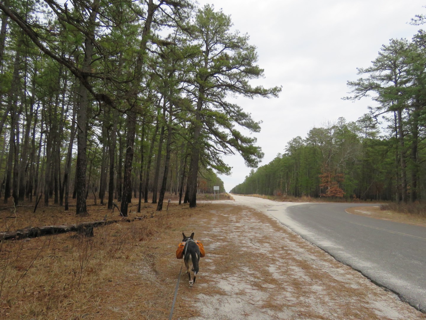
| The is the first marker. The trail follows the sand road ... |
 |
| ... past this church ... |

 |
| ... then leaves the road on a footpath. |


 |
| Mullica River |


 |
| Turning left on purple to loop around back to this spot. |


 |
| Right on green. |


 |
| Right on yellow. |


 |
| Finishing the loop and retracing back. |