ABOUT THE PARK:
DIRECTIONS:
GPS Coordinates 41.073771, -74.963210
 |
| Millbrook Village Parking |
TRAIL MAP:
HIKE DISTANCE: 15.4 miles
THE HIKE:
When I tried to hike the Donkey's Hollow Trail back in 2011 it was so overgrown and impassible I had to turn back. I wanted to see if anything changed so I gave it another shot in an attempt to connect to a view at Delaware View House. I also wanted to capture some sections of trails I had not hiked yet as well as the Van Campens Glen Trail which had apparently changed a lot since I last hiked it in 2014, all while avoiding the Watergate Recreation Area which was closed for restoration at this time.
 |
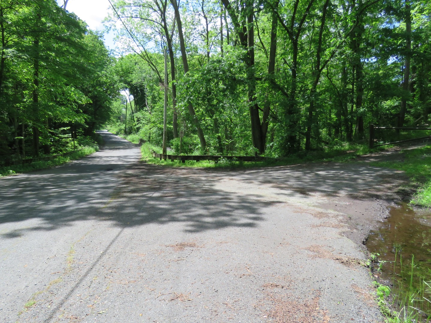
| Starting through Millbrook Village. |
 |
| A left between those bushes and the white house. |
 |
| The Donkey's Hollow Trail starts out clear. That would be because ... |
 |
| ... it follows along Van Campens Brook for a while so that part of the trail gets foot traffic. |
 |
| But once Van Campens Brook turns away from the trail ... |
 |
| ... it becomes way more overgrown. This is the point where everyone else turns back but we forged onward. |
 |
| There were a few downed trees but nothing we couldn't get over, or in this case under because this one was covered with poison ivy. I was able to crawl under on my knees. In the mud. |
 |
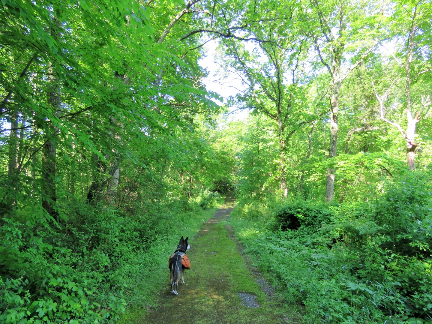
| The trail does open up on occasion and is always a woods road that is well defined. |
 |
| When there is evidence of more foot traffic, that means it's getting close to ... |
 |
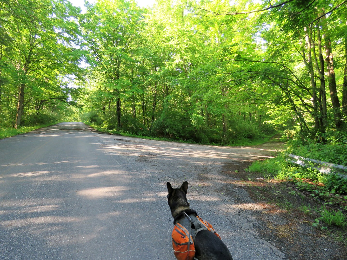
| ... Blue Mountain Lakes Road. |
 |
| A right turn leads to Blue Mountain Lakes, we turned left. |
 |
| On the right just before Blue Mountain Lakes Road reaches Old Mine Road ... |
 |
| ... is the Delaware View House. |
 |
| This would be the view had there not been a huge cloud in the Delaware River valley. I'd drive back over after the hike because I really wanted to know what I had missed. |
 |
| For now, left on Old Mine Road. There was not a lot of traffic at 8:30 AM but of the approximately six cars that came towards us, only one was doing 25 mph and had the courtesy to move into the oncoming lane (which had absolutely no traffic) to give us space. Everyone else zoomed by well in excess of 25 mph without moving over at all. So rude and DANGEROUS and as of this year, illegal. |
 |
| Leaving Old Mine Road and turning right on the Hamilton Ridge Trail. |
 |
| No traffic, no overgrowth, breezy, peaceful and quiet. |
 |
| Passing the Orchard Trail where we would be at the end of the hike. |
 |
| Right on the Pioneer Trail. |
 |
| The vegetation gets a little high in spots but it is always passable. |
 |
| The Pioneer Trail starts to follow the Delaware River but you don't see much of it with foliage on the trees. |
 |
| Crossing the Susquehanna-Roseland transmission line which was being constructed when I was here in 2014. |
 |
| At the intersection where the Pioneer Trail continues straight as a woods road, I turned right to see if we could loop around using a woods road shown in the map. |
 |
| Back into that power cut at a lower level ... |
 |
| ... and to the left ... |
 |
| ... were there are several campsites that are accessed by canoe. |
 |
| Delaware River |
 |
| A trail continues along the Delaware River and starts out very well defined. |
 |
| It starts to get more and more overgrown ... |
 |
| ... to the point where vegetation was over my head and completely impassable so we had to turn back. Contrary to what the map says, there is no woods road. Maybe this trail can be followed in the winter but definitely not this time of year. |
 |
| Back at one of the campsites, those steps down to the river made a nice break spot. |
 |
| Some canoes floating by in the river. |
 |
| Heading back through the power cut. |
 |
| We had come in from the left earlier, now turning right to continue on the Pioneer Trail. |
 |
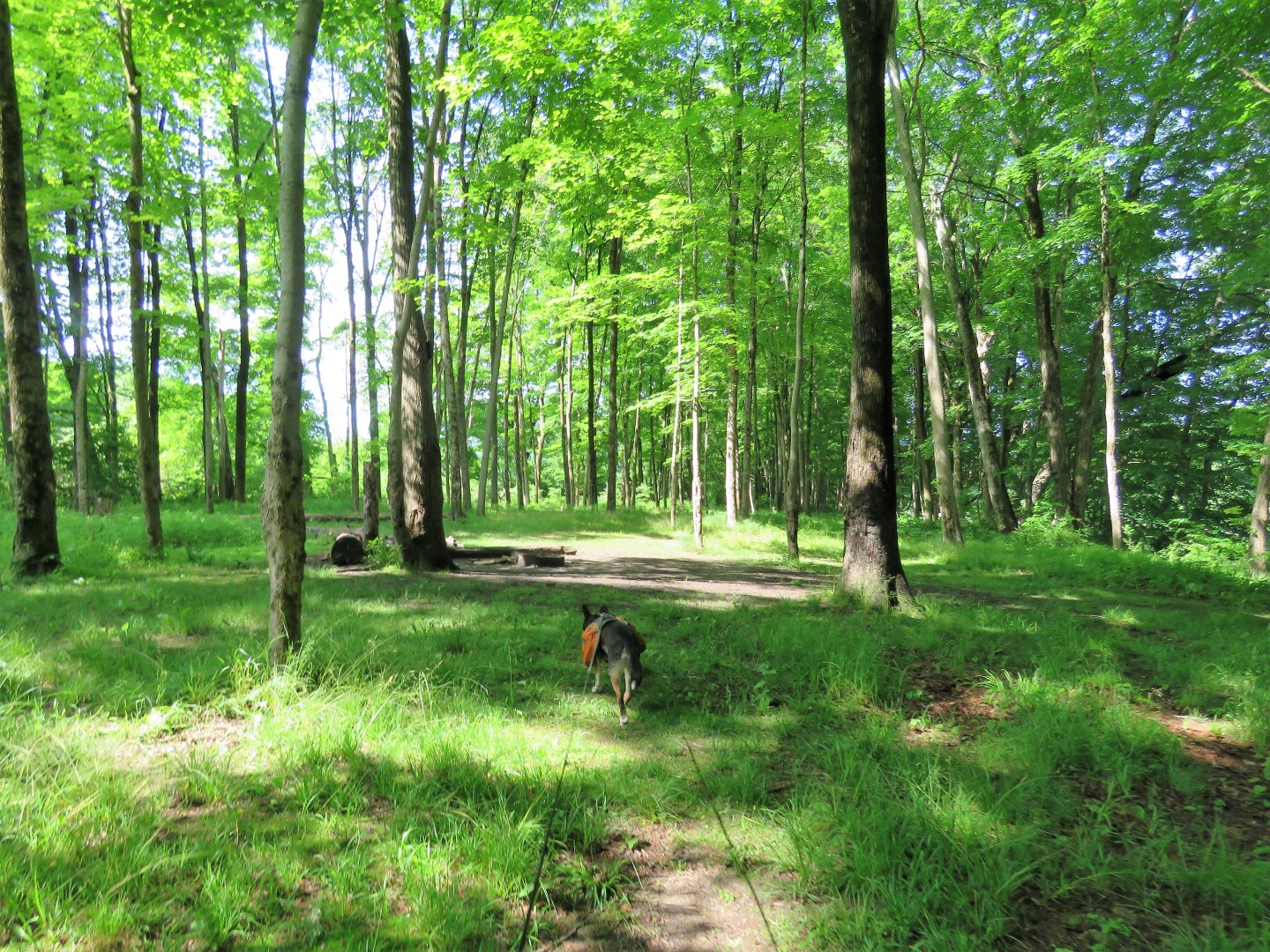
| It's all woods road from this point on. |
 |
| There used to be ruins of homes and cars along the way but that was all removed several years ago. |
 |
| Passing the other end of the Hamilton Ridge Trail where we would be going after Van Campens Glen. |
 |
| I saw movement way up ahead and zoomed in to find three turkeys who had clearly seen us without any zoom. |
 |
| There is a faint path on the right that lead to the DePue Cemetery with tombstones from the 1800's. |
 |
| Coming back out on the trail ... |
 |
| ... to the end then left on Old Mine Road for a short distance. |
 |
| Right to Lower Van Campens Glen. |
 |
| Straight through the parking lot... |
 |
| ... to the yellow-blazed Van Campens Glen Trail. |
 |
| This used to be wild and rugged but now it has been built up to make it easier to traverse but along with that it sometimes resembles less of a hiking trail and more of an amusement park with large groups of people everywhere. |
 |
| First set of waterfalls. |
 |
| Second set of waterfalls. There were people everywhere at these falls, most standing smack in front of the falls so it was hard to get a picture without people in it. |
 |
| The falls continue beyond what can be seen from below. |
 |
| The path becomes an old asphalt road that leads left to another parking lot. Before crossing Van Campens Brook we turned right to see how far we could get before the closed Watergate area. |
 |
| No people, no waterfalls, just nice and quiet along Van Campens Brook |
 |
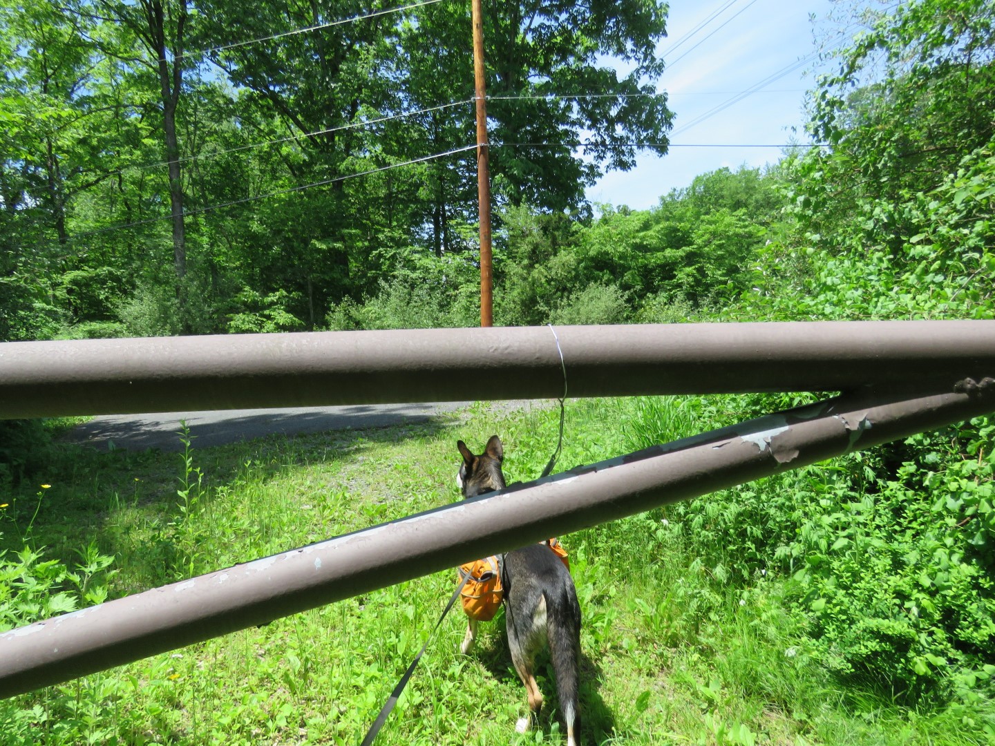
| Just before the power cut I could see the orange fencing of the closed Watergate area so we turned left crossing the bridge then ... |
 |
| ... left on Old Mine Road. |
 |
| I was contemplating whether to road walk back to the lower glen or brave the crowds by the waterfalls. It was kind of hot and sunny on the road so the trail won. |
 |
| Turning left where the upper glen parking lot is on the right. |
 |
| Amazingly, we arrived at the falls just as the last people were leaving so I was able to get a better shot in the few seconds I had it to myself before others started arriving. |
 |
| There weren't that many cars in the lower glen lot so the upper glen lot must have been crowded but I couldn't see it from the road. |
 |
| Out the parking lot drive, left on Old Mine Road ... |
 |
| ... then right on the Hamilton Trail. |
 |
| Right on the Hamilton Ridge Trail. |
 |
| This is a part I had not hiked before. Although there is hardly anyone else in this entire area, this trail seems to get the least traffic but it was still not terribly overgrown. It's old gravel/dirt woods road all the way to the power cut. |
 |
| It's paved in the power cut then continues as an old asphalt road. |
 |
| Passing by the Pioneer Trail on the left where we had turned earlier. |
 |
| Now retracing on the Hamilton Ridge Trail. |
 |
| Right on the Orchard Trail. |
 |
| There is a short side trail to the right with a bench ... |
 |
| ... at a view of Kittatinny Mountain. |
 |
| At Old Mine Road cross directly over to ... |
 |
| ... the Millbrook Village parking lot. |
 |
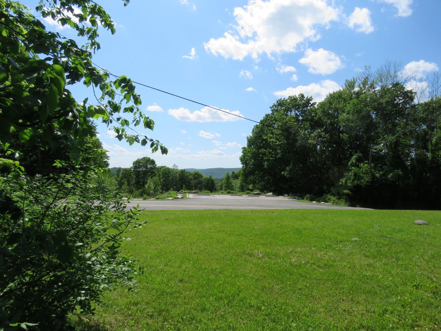
| I drove back over to the Delaware View House. There wasn't much of a view from that parking pad. |
 |
| There wasn't much of a view from ground level at the Delaware View House either. |
 |
| But from the corner of the porch ... |
 |
| ... where a skink was enjoying the view ... |
 |
| ... there was little more to be seen with a sliver of the Delaware River in the distance. This would probably be a better winter view. |
Wildflowers seen on this hike: