ABOUT THE PARK:
Rockefeller State Park Preserve - New York State Parks
DIRECTIONS:
GPS Coordinates 41.122894, 73.811642
 |
| North County Trail Parking Lot. No parking fee to enter Rockefeller State Park Preserve from this lot. |
TRAIL MAP:
Westchester Trails Map #130 - New York New Jersey Trail Conference
HIKE DISTANCE: 11.8 miles
THE HIKE:
 |
| Starting from the far end of the parking lot on the Nature Trail. |
 |
| It's the only footpath on this hike. |
 |
| At the opening in the fence, right on ... |
 |
| Lucy's Loop |
 |
| Now it's almost all gravel carriage roads but sometimes grassy woods roads. |
 |
| Some far away views from Old Orchard Trail. |
 |
| Coming off of the meadows at a 3-way intersection we turned left in search of a second overlook. |
 |
| But at the top you have to keep to the right ... |
 |
| ... and can only zoom into the view on the left. |
 |
| We went out the Ridge Trail until we hit a carriage road then turned back to retrace because it was heading us in the wrong direction. |
 |
| Back at that 3-way intersection, we kept straight on Ferguson's Loop. |
 |
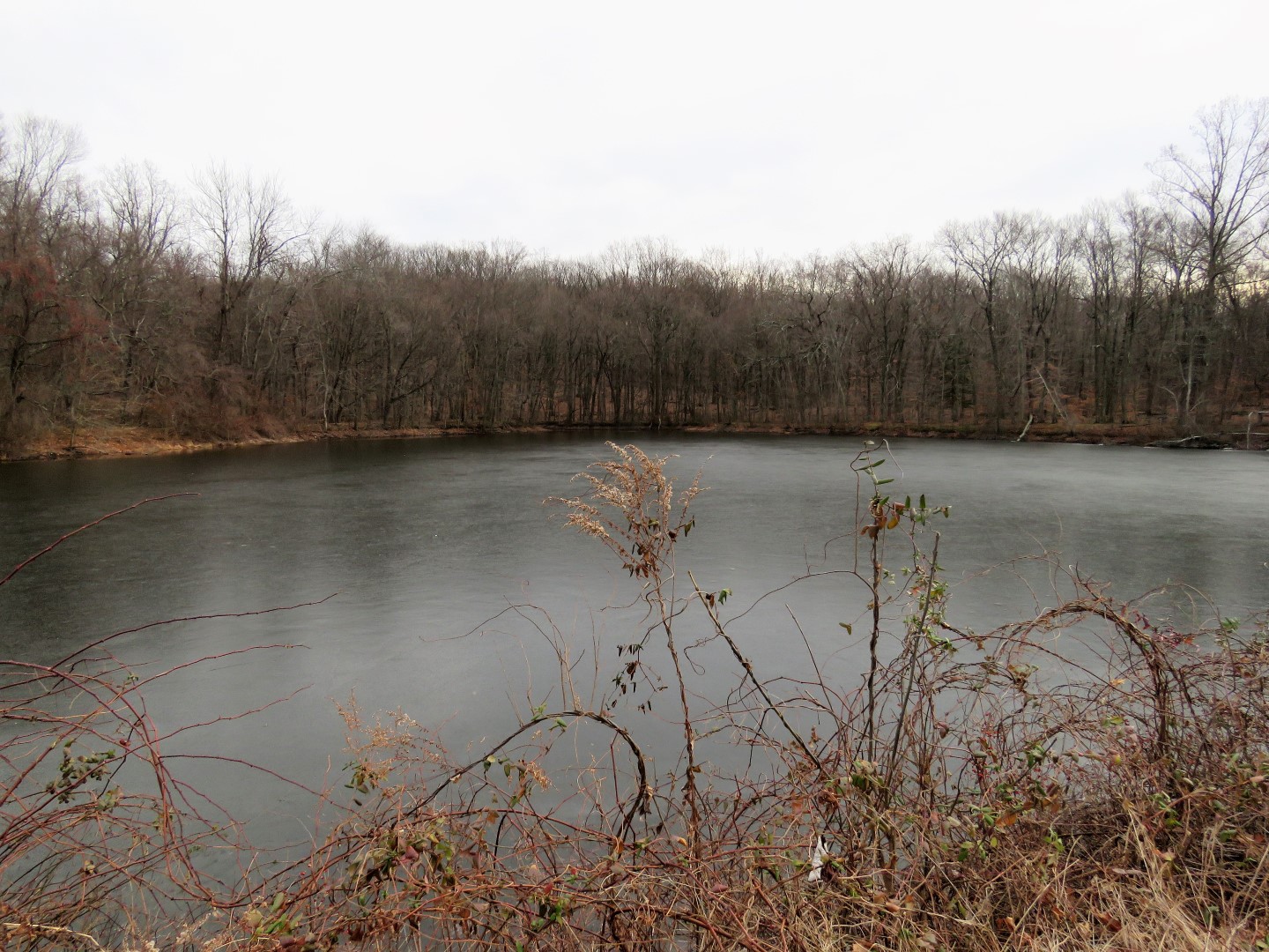
| Ferguson's Lake |
 |
| We turned right after the lake but that was not the right way, should have been left, so we retraced and went the correct way. |
 |
| Then a right on Flying Squirrel which loops around back to this spot. |
 |
| Coming off of Flying Squirrel we turned left on Reservoir Loop which took us between two reservoirs. |
 |
| The reservoir on the right was full. |
 |
| The reservoir on the left was not. |
 |
| A little farther along we turned left on Raven's Rock. |
 |
| This descends way down ... |
 |
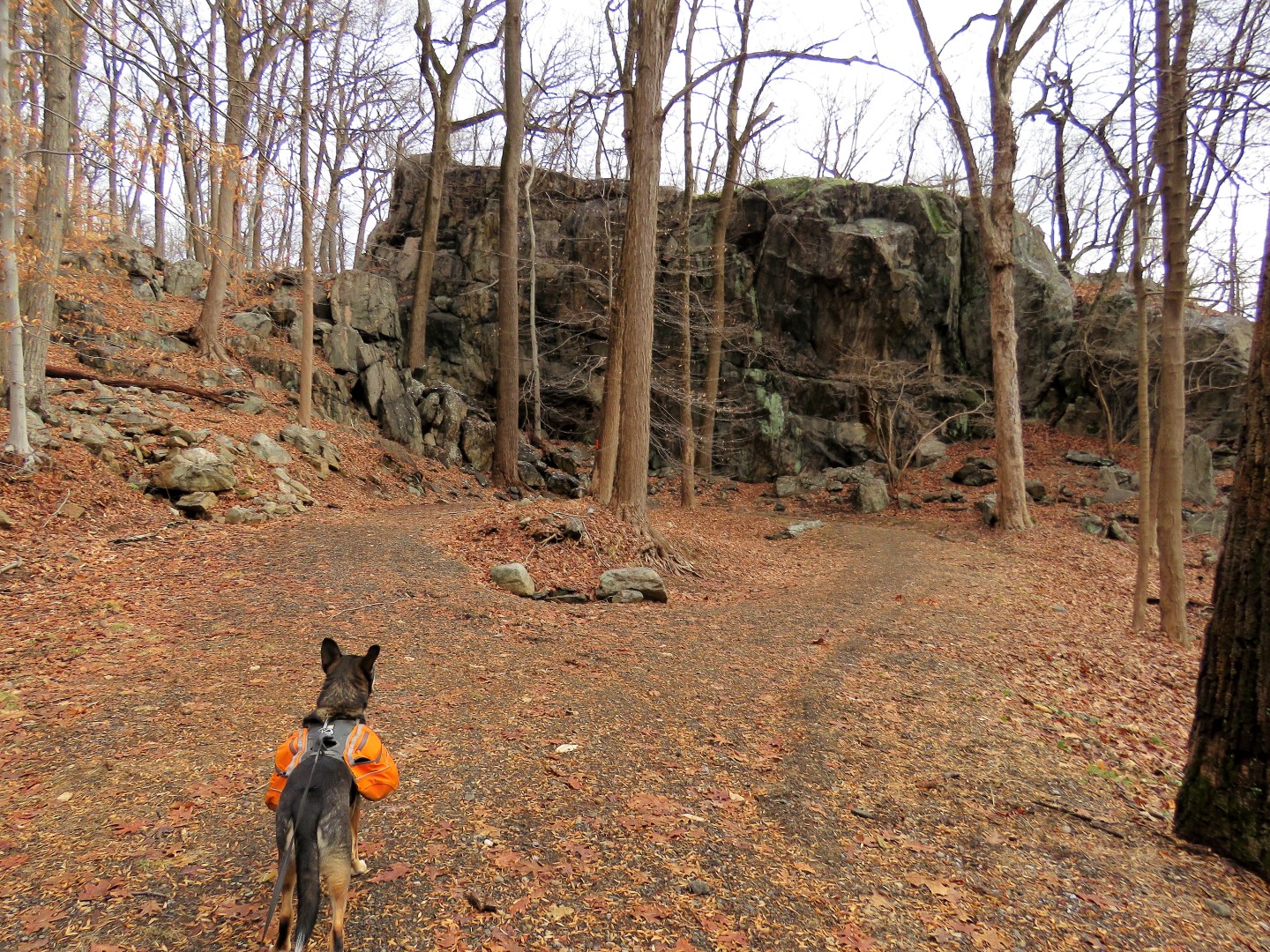
| ... to Raven's Rock at the end. It doesn't look so imposing from a distance... |
 |
| ... but it is. |
 |
| At least Brodie thinks so. At the base was a good break spot, Raven's Rock holding back the biting wind gusts. |
 |
| Heading back uphill. |
 |
| Back at the intersection we turned left on Perry Road. |
 |
| We followed this loop around counter clockwise. |
 |
| On the return side of the loop is where I saw.... do you see it under the white arrow? |
 |
| Balloon #1 of 2020. |
 |
| Back where Raven's Rock is to the right, we veered left on Goat Trail. |
 |
| From the Goat Trail we stayed right on the Buttermilk Hill Trail. |
 |
| Where we hardly saw any other people the entire hike so far, it got pretty busy in this area because cars can park along Bedford Road, just a short distance away. |
 |
| But once we turned to head back to Lucy's Loop, we saw no more people. |
 |
| Where we had come in from the left at the beginning of the hike, we now went right. |
 |
| Back through the fence opening to the Nature Trail ... |
 |
| ... and back to the parking lot. |
 |
| For all the cars that were parked along Bedford Road, I could not believe there were only 3 cars including mine in this HUGE parking lot. |