Ralph Stover State Park - Pennsylvania DCNR
Tohickon Valley Park - Bucks County
DIRECTIONS:
GPS Coordinates 40.43556, -75.10074
 |
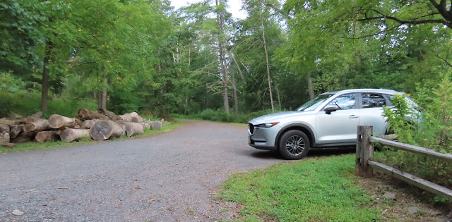
| There are several parking areas. This is the farthest lot from the entrance. |
TRAIL MAP:
Ralph Stover State Park Trail Map - Pennsylvania DCNR
HIKE DISTANCE: 7.5 miles
THE HIKE:
The last time I hiked here was in January 2012. There is a lot more to see with no leaves on the trees but there are views in the summer, too. The trails are blazed a little more consistently now, when there are blazes. Basically orange is the lower level, blue is the upper level and yellow runs between orange and blue with several unmarked connector trails between all three. The orange lower level is the most popular so I hiked that first while it was early and not too many people were there yet. Hiking the blue trail back later in the day, it was very busy down on the orange trail so something to keep in mind. There is also a white trail that is a loop away from the more popular area where I encountered nobody at all.
 |
| From the parking lot heading towards Tohickon Creek and ... |
 |
| ... the mill dam remnants. |
 |
| Right through picnic areas with Tohickon Creek on the left to Means Ford Bridge. |
 |
| Going under the bridge then looping around to the left uphill ... |
 |
| ... to cross the bridge which is open to pedestrians, just not motor vehicles. |
 |
| An uphill road walk on dead end Stover Park Road with no traffic, just a few residences. |
 |
| Just before the yellow sign ... |
 |
| ... right on an unmarked trail. |
 |
| This leads to the yellow trail. The white trail is to the left - the one we will be taking when we return to this spot on the way back. |
 |
| We left the yellow trail to follow the trail closest to the edge along the fencing. This is were the views are and they get better as you go along. |
 |
| One of three memorials along the way. |
 |
| Two of three memorials. |
 |
| The fencing ends and in a few spots you can go right out to the edge. |
 |
| Third memorial. |
 |
| Back on yellow after all of the overlooks. |
 |
| The trail will start to descent and get closer to Tohickon Creek. |
 |
| Somewhere along the way I veered right on the lower orange trail and followed that. |
 |
| As it gets closer to Tohickon Creek there are short side trails to the right that lead to the creek. |
 |
| I surfaced on that flat rock to the left of the bridge finally having arrived at the road and the cabin I was trying to get around. |
 |
| Now on the paved road through the campground. |
 |
| Left on the trail ... |
 |
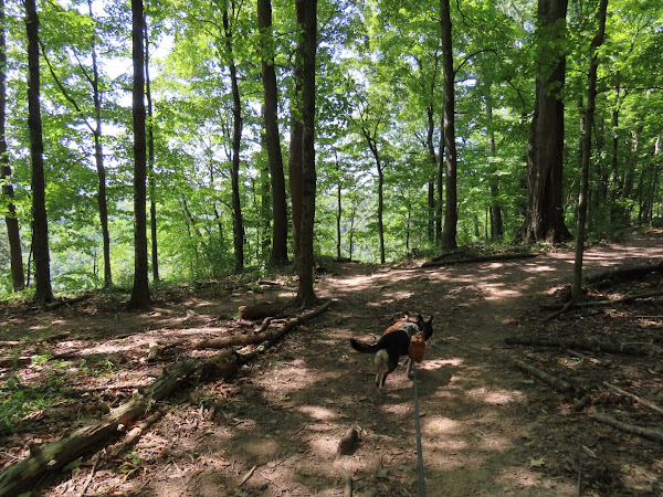
| ... staying to the right on yellow at a higher level than orange down below where we had been earlier. |
 |
| Brodie having a staring contest with a fawn that was very curious about him. |
 |
| A blue trail veers to the right at yet a higher level than yellow. |
 |
| We took blue all the way until it merged back to yellow. |
 |
| Heading back to the trails from the parking lot ... |
 |
| ... right across the bridge on yellow. |
 |
| Then continuing straight on white. |
 |
| White crosses Stover Park Road that we were on at the beginning of the hike and continues as a loop on the other side. |
 |
| Going around counterclockwise on the upper level first. |
 |
| The trail curves to the left and descends ... |
 |
| ... all the way down to Tohickon Creek. |
 |
| Ascending along Tohickon Creek ... |
 |
| ... then the rest of the way up to ... |
 |
| ... a right on Stover Park Road. |
 |
| Back across the bridge. |
 |
| Right after the red bridge then across a small bridge to retrace back to the parking lot. |


