ABOUT THE PARK:
DIRECTIONS:
GPS Coordinates 41.321511, -88.994020
 |
| Visitor Center Parking Lot |
TRAIL MAP:  |
| There are large maps throughout in addition to frequent signs that indicate whether you are heading away from or returning to the visitor center parking lot |
HIKE DISTANCE: 10.1 miles
THE HIKE:
Hike 1 of 3 on the drive from Missouri to New Jersey.
This is a hugely popular place and on weekends when the parking lot fills up it closes. I came on a beautiful spring day in the middle of the week when hardly anyone was there - that is the time to go.
 |
| We started out by heading to the Illinois River from the parking lot. |
 |
| I had seen some white birds in the water and zoomed in to find American White Pelicans, a bird I had not seen before. |
 |
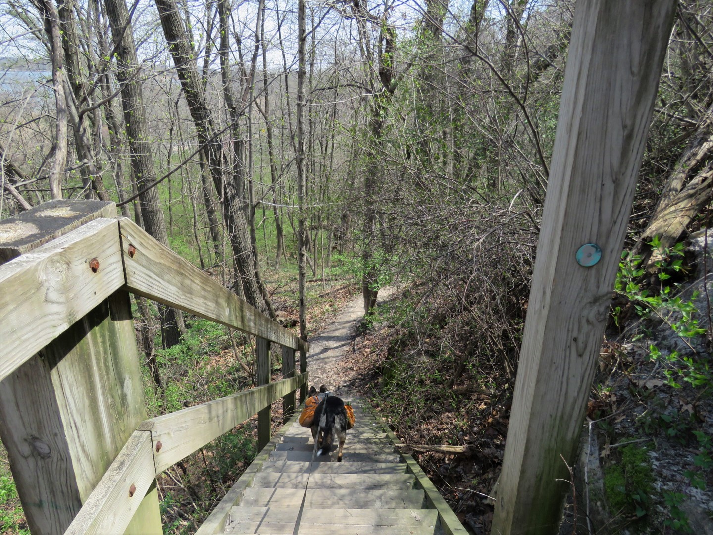
| There are many steps up Starved Rock. |
 |
| Many steps. Should have eaten my Wheaties for breakfast instead of blue corn tortilla chips while driving. |
 |
| Illinois River from Starved Rock. |
 |
| The decking loops all the way around the top of Starved Rock. |
 |
| More American White Pelicans down below. |
 |
| Finishing the loop and heading back down. |
 |
| I guess most people miss the trash can sign because there were many, many, many more steps with LOADS of water bottles discarded underneath in unreachable places. |
 |
| Lover's Leap Overlook |
 |
| Looking back at Starved Rock where we had just been. |
 |
| Illinois River view from Eagle Cliff Overlook. |
 |
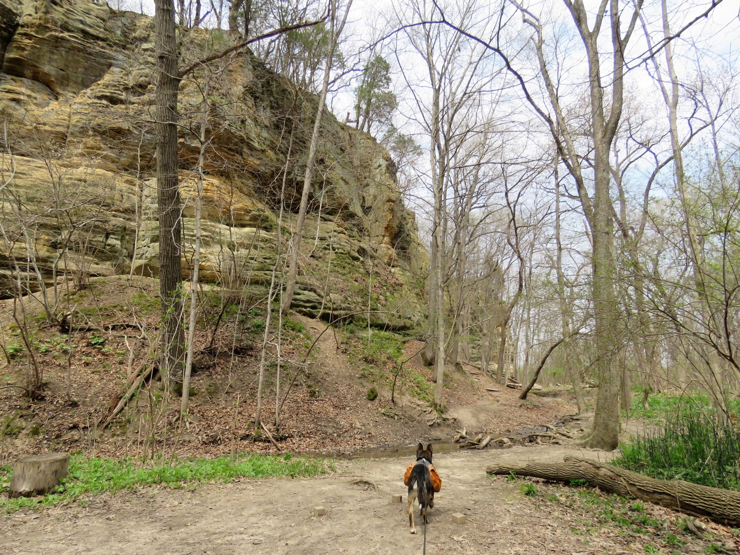
| On the River Trail |
 |
| Sadly, there were several trails closed while we were there but maybe it was a good thing because there was limited time and another full day of hiking and driving the next day. |
 |
| At the end of the River Trail, on to the Bluff Trail ... |
 |
| ... which involved many, many, many more steps. |
 |
| Rose-breasted Grossbeak |
 |
| Down a long flight of steps to cross the road .... |
 |
| ... and descend on more steps. |
 |
| Council Overhang |
 |
| View looking out from inside Council Overhang. |
 |
| Ottawa Canyon |
 |
| Kaskaskia Canyon |
 |
| At far end of the park, I wanted to go on to the Illinois Canyon before heading back but there are several parking lots nearby so this area was getting busy and that kind of puts a damper on my hiking experience so we headed back. We hardly ran into anyone else between the two ends of the park. |
 |
| Heading towards LaSalle Canyon. |
 |
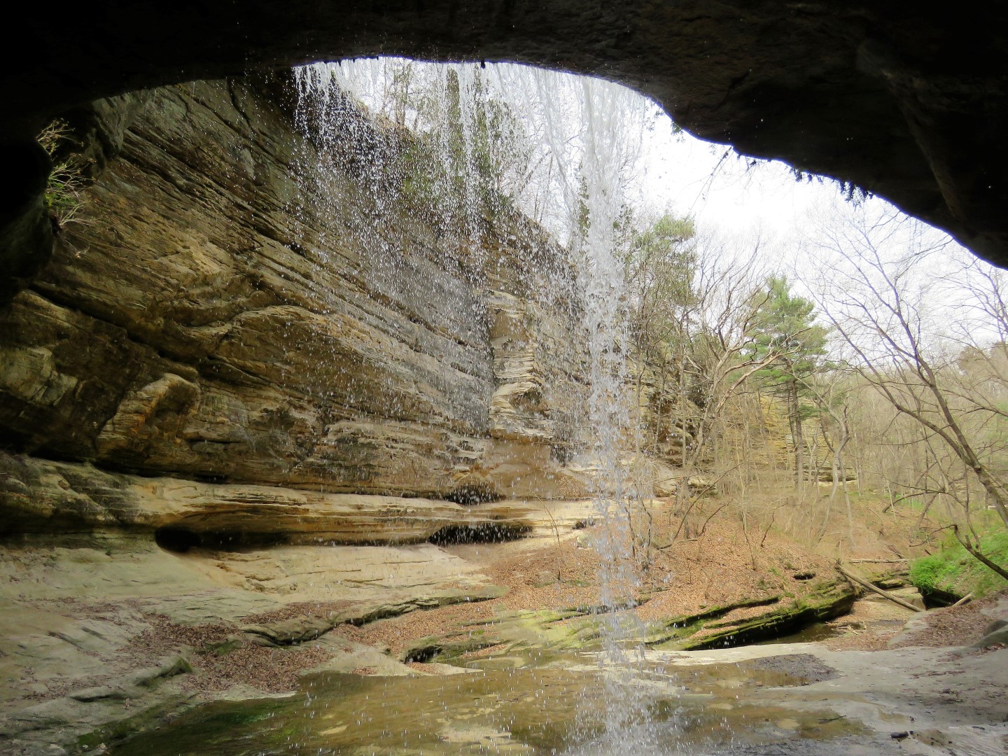
| The trail goes behind the waterfall and around the other side but ... |
 |
| ... as we were under the waterfall, another couple came from the other direction and told me that trail was closed and they had to turn back. Bummer! |
 |
| Heading back. |
 |
| Now up more steps to another section of Bluff Trail. |
 |
| Looking down into Wildcat Canyon. You can see two people down at the bottom, that is how far down it goes. There are steps down into the canyon but quite honesty, I could not even begin to go down and back up yet another long flight of steps so I had to pass. |
 |
| Waterfall at Wildcat Canyon |
 |
| Around the other side of Wildcat Canyon you can see a portion of those steps I would have had to descend and ascend again to get down there. |
 |
| Continuing on towards the visitor center. |
 |
| Pontiac Canyon |
 |
| This was the way into the bottom of Wildcat Canyon from the River Trail but that was closed as was French Canyon. |
 |
| Can you believe all the steps? My pictures only show a fraction of them. |
 |
| Back at those last trash cans at the hiking trail sign where ... |
 |
| ... I deposited a couple of plastic water bottles I was able to reach to pack out and ... |
 |
| ... other assorted litter. I am guessing those Clif bars don't give as much energy as they claim as the people who ate them were apparently too tired to carry out the wrappers. |
 |
| Picked up more between two trash cans. |
 |
| Back at the visitor center and parking lot. |
 |
| Arrived at the motel in Toledo, Ohio to rest up for another busy day of hiking. |
Wildflowers seen along the hike:


