ABOUT THE PARK:
DIRECTIONS:
GPS Coordinates 41.82699, -73.97013
 |
| Lower Parking Lot |
TRAIL MAP:
HIKE DISTANCE: Shaupeneak Ridge - 10.5 miles
hiked together with:
THE HIKE:
 |
| Starting from the lower parking lot on the white trail. |
 |
| A purple trail on the right ... |
 |
| ... leads to ... |
 |
| ... a waterfall. |
 |
| Returning back to continue on white. |
 |
| White ends at the top; continuing straight on red. |
 |
| Hudson River Overlook |
 |
| Continuing on, some seasonal views of the Catskills. |
 |
| Red crosses over an access road then ends at blue. |
 |
| Right on blue a short distance... |
 |
| ...to right on green. |
 |
| Right on aqua when green turns left. Green and aqua look VERY similar not only in the pictures, but in actuality. |
 |
| There are lots of stone walls. |
 |
| At the end of aqua, right on green to continue around the green loop. |
 |
| Coming back out on blue, right on blue to ... |
 |
| ... right on orange. |
 |
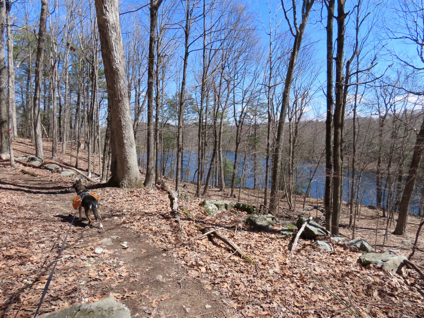
At the end of orange, left on blue circling around Louisa Pond clockwise. |
 |
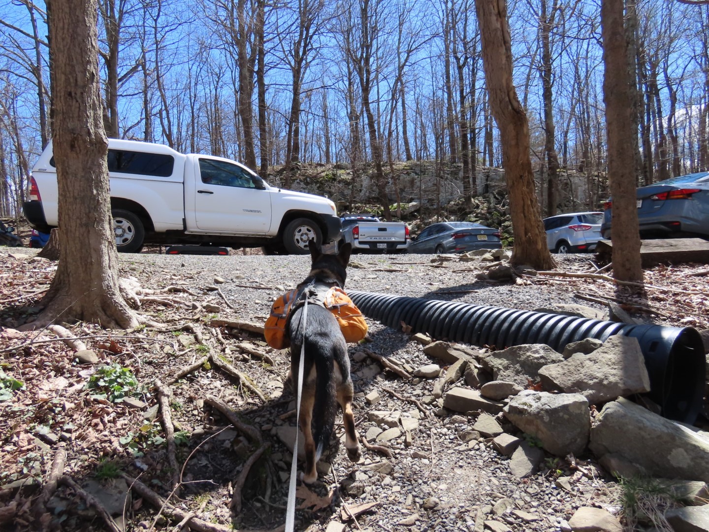
| Crossing through the upper parking lot which is packed with cars hovering for a spot, |
 |
| Left on yellow. |
 |
| Passing the parking lot again from a higher level then descending into the parking lot, turning right, crossing the access road ... |
 |
| ... and taking the opposite side of red from earlier in the hike to complete the red loop. |
 |
| Back at the white trail, right to retrace back to the parking lot. |