Appalachian Trail Pennsylvania - The Appalachian Trail Conservancy
DIRECTIONS:
GPS Coordinates 40.83051, -75.35636
 |
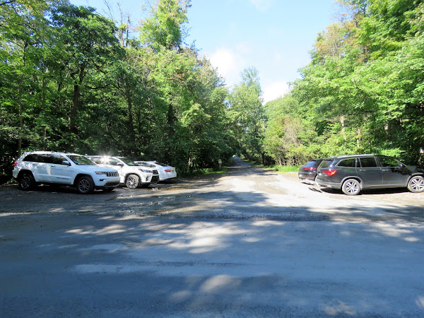
| State Game Lands 168 parking at the Katellan Trailhead. |
TRAIL MAP:
Appalachian Trail in Pennsylvania Sections 1-6 - Appalachian Trail Conservancy
 |
| Snapshot of map from the Smith Gap kiosk. |
HIKE DISTANCE: 9.75 miles total out and back
THE HIKE:
 |
| Starting on the blue-blazed Katellen Trail from the parking lot. |
 |
| It soon became a raging river right down the trail. This would be due to aftereffects of Hurricane Ida that had hit just 4 days prior. |
 |
| The trail eventually dried out. On the return trip we encountered trail maintainers who had dug runoffs across the trail to divert all of that water. |
 |
| There are some springs higher up that are always bone dry this time of year. |
 |
| But they were raging with water flowing everywhere this year. |
 |
| Back on the Katellen Trail. |
 |
| Another side trail to a spring. |
 |
| The stream crosses over the trail from the other side. |
 |
| We passed the Leroy Smith shelter on the left but somebody was there so we'd hit it on the way back. |
 |
| Crossing a power cut ... |
 |
| ... to the intersection with the white-blazed Appalachian Trail. |
 |
| We would have turned left to Smith Gap but first needed to turn right and hike a quarter of a mile to the overlook to meet up with where I complete a section to the north back in October 2010. |
 |
| Coming back out into the power cut ... |
 |
| ... with views to the left. |
 |
| There were low clouds this early in the morning so we would have to come back on the return trip when things had cleared up. |
 |
| Heading back south on the AT. |
 |
| Now continuing on to Smith Gap. |
 |
| The trail gets quite rocky at times but there are smoother parts off and on. |
 |
| The hornets seemed to have left as I did not encounter any. |
 |
| The parking lot at Smith Gap. This meets up with a section to the south I had hiked in 2018. |
 |
| Turning around and heading back from Smith Gap. |
 |
| This is where we would turn to retrace the Katellen Trail but first straight to that overlook again. |
 |
| Those low clouds are all gone. |
 |
| Heading back through the power cut. |
 |
| The Katellen Trail crosses over the power cut just up ahead at the pylon; we turned left there. |
 |
| Checking out the Leroy Smith shelter. |
 |
| There are some side trails to the left off the Katellen Trail to the raging stream. |


