ABOUT THE PARK:
Pyramid Mountain Natural Historical Area - Morris County Parks Commission
DIRECTIONS:
GPS Coordinates 40.953248, -74.407991
 |
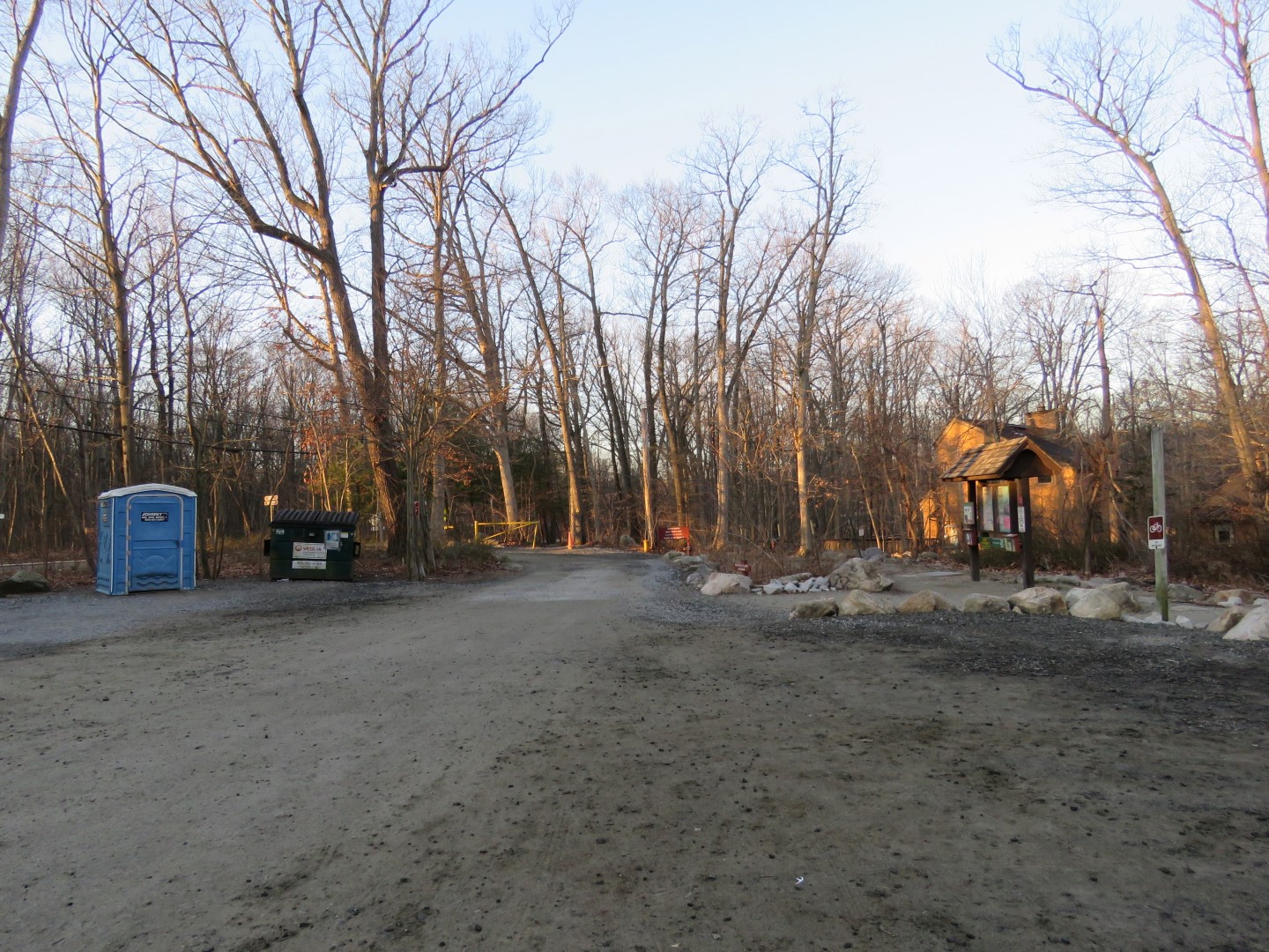
| Kincaid Woods Parking Lot |
TRAIL MAP:
Jersey Highlands Trail Map 125 - NYNJ Trail Conference
At this time the 2016 edition is out of print with a 2021 edition pending. The 2016 map shows the trails I hiked in different colors and a trail has been eliminated. The Morris County Park map shows new blazing completed 3/18/2021.
Pyramid Mountain Historic Area Trail Map - Morris County Parks Commission
 |
| Y (yellow) is now K (pink/black). YK (yellow/black) is now K (pink) P (pink) is eliminated but still exists. W (white) is now O (orange). |
HIKE DISTANCE: 5.8 miles
THE HIKE:
 |
| The pink/black Kincaid Trail starts from the parking lot. |


 |
| We went right on pink which used to be yellow/black. |

 |
| Well this was a surprise! This is where the pink trail was on the 2016 map. This trail was not on my 2011 map so seems it only existed for 5 years. Nowhere did it say it was forbidden to go that way so we went. |
 |
| The trail still exists and is still very easy to follow. You can see where the pink blazes have been painted over along the way. |


 |
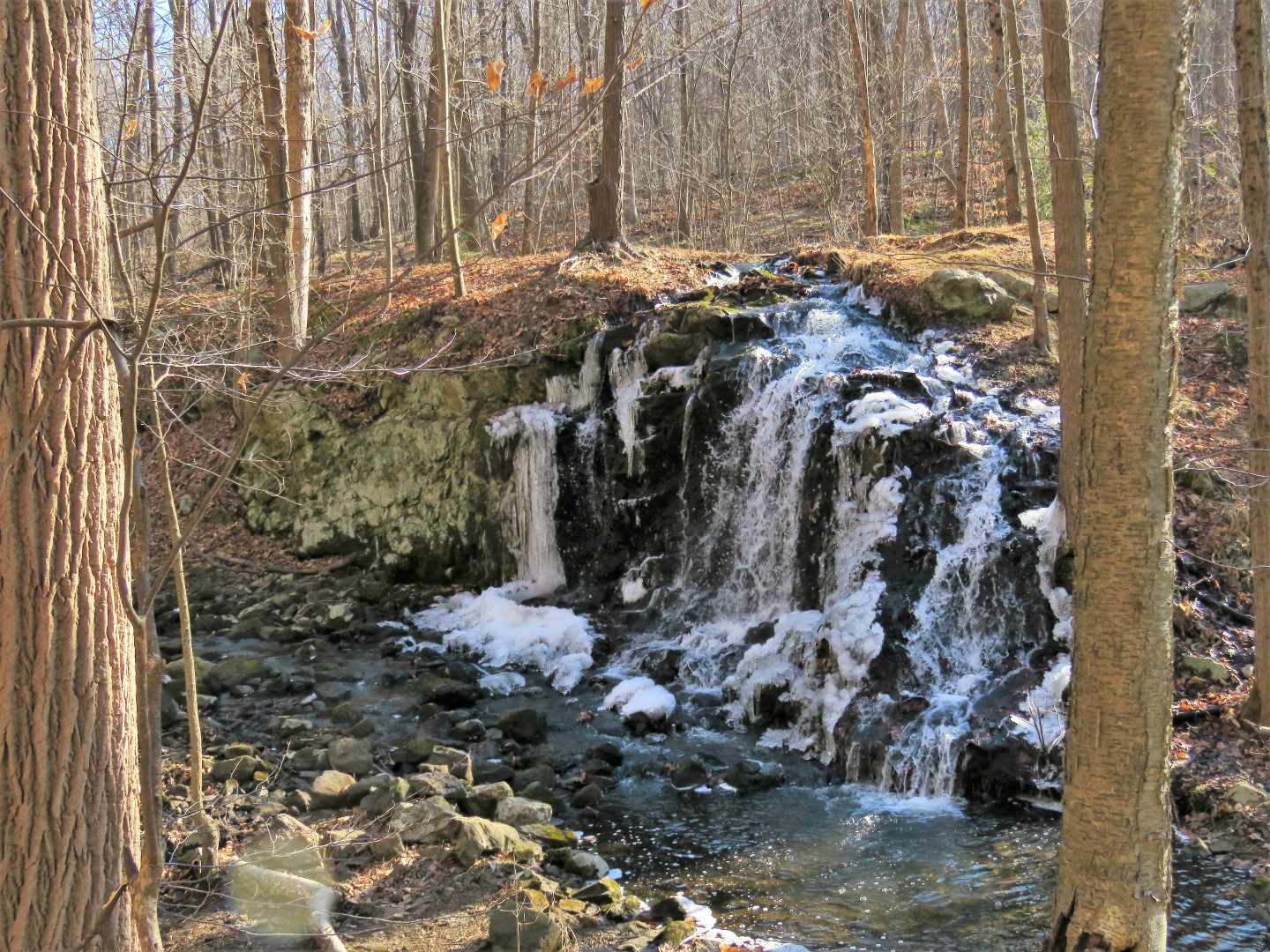
| The trail ends at a creek ... |
 |
| ... with private property clearly posted to the left. |

 |
| Heading back. |
 |
| Right now this is the only blow down on the trail but in time the whole trail will be obliterated. |
 |
| A remaining pink blaze. |
 |
| Back at that sign where we turned right ... |
 |
| ... to continue on pink. |


 |
| Pink ends ... |
 |
| ... at pink/black where we turned right. |
 |
| Old mines everywhere. |


 |
| An old yellow blaze. |
 |
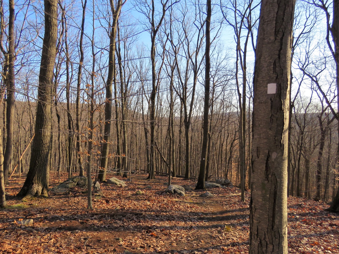
| At times it appears the trail is going over the edge but it never does. |


 |
| The pink/black trail ends at orange (which used to be white). This was our turn around point. |


 |
| Balloon #9 of the year. |
 |
| Passing by pink and now retracing to the parking lot. |