

Esopus Meadows Preserve - Scenic Hudson
DIRECTIONS:
GPS Coordinates 41.86795, -73.95116
 |
| There was only one spot when I arrived with multiple people just sitting in their cars on their phones. If the lot is full, there is more parking next door at Lighthouse Park, connected to Esopus Meadows by a short green-blazed trail. |
TRAIL MAP:

HIKE DISTANCE:
Esopus Meadows Preserve - 1.7 miles
hiked together with:
Shaupeneak Ridge - 10.5 miles
Black Creek Preserve - 2.2 miles

THE HIKE:
 |
| The blue trail starts from the parking lot ... |
 |
| ... and follows along the Hudson River. |
 |
| We would be returning to take the blue trail to yellow at this intersection after Esopus Meadows Point up ahead. |
 |
| Esopus Lighthouse from Esopus Meadows Point |
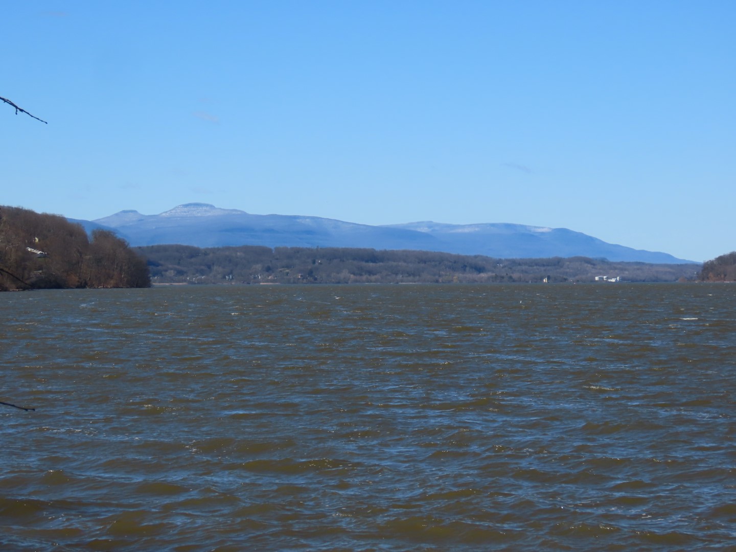 |
| Catskill Mountains |
 |
| Heading back to turn left on blue. |
 |
| The Hudson River from a higher level. |


 |
| Staying with yellow which will cross this old road a few times. |


 |
| When yellow ends, veering left on red. |


 |
| Back on blue to the parking lot ... |

 |
| ... then right on green to Lighthouse Park. |

 |
| Lighthouse Park |
 |
| Heading back to the parking lot. |