ABOUT THE PARK:Harriman State Park - New York State Parks
DIRECTIONS:GPS Coordinates 41.19844, -74.12960
 |
| Sebago Boat Launch Parking |
HIKE DISTANCE: 11.3 miles
THE HIKE:
I
hiked in northern Harriman exactly a week prior to this hike. The foliage that was colorful at that time was now on the ground and what was green a week ago was now in full color. In another week it should just about all be gone. This hike incorporates several unmarked trails and woods roads.
 |
| Lake Sebago from the boat launch parking area. |
 |
| Facing Lake Sebago, we turned left on an unmarked path. |
 |
| This path runs into restricted property but we needed to take few steps into the forbidden zone ... |
 |
| ... to take the faint path up to Seven Lakes Drive ... |
 |
| ... for a bit of a road walk to bypass the restricted area. |
 |
| At this post a woods road on the left leads down to ... |
 |
| ... the TMI trail. |
 |
| A short distance in we turned right on orange. |
 |
| Staying on orange passing yellow. |
 |
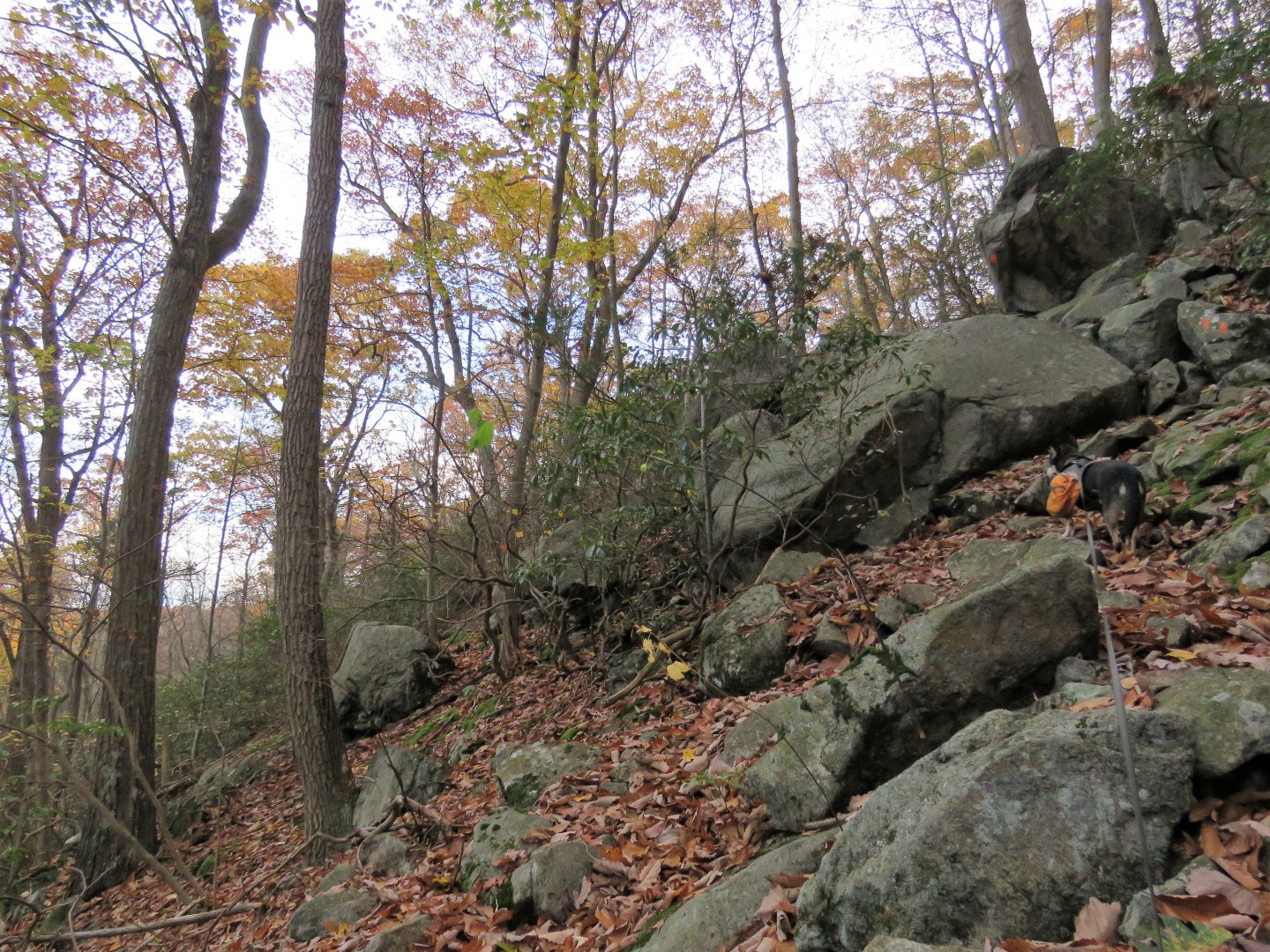
| Orange becomes rockier and steeper. |
 |
| Nearing the top, a couple of rock scrambles. |
 |
| Almost at the top. |
 |
| When the blue-square-on-white trail comes in from the left, a sharp left on blue-square-on-white. This is easy to miss and we had to backtrack to it. |
 |
| Nice views from the top. |
 |
| Passing by yellow. |
 |
| Lake Sebago |
 |
| When blue-square-on-white turns left, right on an unmarked trail. |
 |
| This unmarked trail is blocked by logs but it exists beyond that point. |
 |
| Although vegetation closes in at times, the path is easy to follow. |
 |
| Coming out at Pine Meadow Road West where we turned right. |
 |
| Pine Meadow Road West |
 |
| Somewhere just prior to this point is an unmarked path to the left that heads to the dam and waterfall but it is hard to find. We passed it and had to backtrack and find it with the GPS. |
 |
| It's a very faint path but can be followed. |
 |
| A rock hop across the outlet at the waterfall. |
 |
| Looking back at the spillway above the waterfall. |
 |
| Crossing the dam at Lake Wanoksink. |
 |
| Lake Wanoksink |
 |
| After the dam, keeping left on a woods road then left on an unmarked path that descends to follow along the southern end of Lake Wanoksink. |
 |
| Crossing a smaller dam. |
 |
| Following umarked Conklin Road around Lake Wanoksink. |
 |
| Conklin Road heads away from the lake. |
 |
| Passing Minsi Swamp to the left. |
 |
| Just past this swamp on the right, a right turn on Woodtown Road which is a more narrow unmarked woods road. |
 |
| The TMI Trail joins in from the right ... |
 |
| ... crosses a small footbridge ... |
 |
| ... then leaves to the left. |
 |
| Coming up on Second Reservoir. |
 |
| After looping around to the north side of Second Reservoir, right on an unmarked woods road heading to Big Hill. |
 |
| The Long Path/SBM Trails join in from the right. |
 |
| Big Hill shelter at the top of Big Hill. |
 |
| There are views beyond the shelter but you have to get up higher on the boulders to see better. |
 |
| New York City Skyline |
 |
| Hudson River |
 |
| Taking the Long Path for a short distance ... |
 |
| ... to a left on Old Turnpike. |
 |
| After the barrier ... |
 |
| ... Old Turnpike becomes the paved access road to the camp at Breakneck Pond. |
 |
| When paved Old Turnpike veers right, left on Cranberry Mountain Trail. |
 |
| Cranberry Mountain Trail runs into Pine Meadow Road at an intersection. |
 |
| At the gate, left on Seven Lakes Drive. |
 |
| After a short distance there is a break in the guardrail on the right with old red blazes. This trail is shown as unmaintained on the map but it is very clear and easy to follow... |
 |
| ... and leads to the Sebago Boat Launch parking lot. |