ABOUT THE PARK:
Eastern Neck National Wildlife Refuge - US Fish and Wildlife Service
DIRECTIONS:
GPS Coordinates 39.054157, -76.222199
 |
| Parking just across the bridge to the entrance at the Tundra Swan Boardwalk. |
TRAIL MAP:
Eastern Neck National Wildlife Refuge Brochure and Map - US Fish and Wildlife
HIKE DISTANCE: 12.85 miles
THE HIKE:
 |
| Starting at the Tundra Swan Boardwalk. |
 |
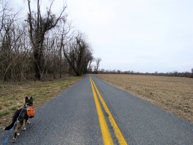
| Road walking from one trail to another. |
 |
| Tundra Swans |
 |
| Not even half a mile in, our first bald eagle sighting. |
 |
| And a great blue heron that had just flown into the marsh. |
 |
| He never moved but he was watching us as we went by. |
 |
| Northern Mockingbird |
 |
| First up, the Boxes Point Trail on the left ... |
 |
| ... but it's closed because of nesting eagles. |
 |
| On to the next trail, the Tubby Cove Boardwalk on the right. |
 |
| At the end of the boardwalk, there is a bird blind to the right ... |
 |
| ... and a viewing platform to the left. |
 |
| On the way back, a turkey vulture watching us. |
 |
| Continuing on the road walk. |
 |
| Left on Bogles Wharf Road. |
 |
| A short distance in, parking for the Duck Inn Trail on the right and just beyond that ... |
 |
| ... the Duck Inn Trail on the left. |
 |
| The Duck Inn Trail ends at an overlook at the Chester River. |
 |
| Buffleheads |
 |
| Chester River |
 |
| Heading back in the few minutes of blue sky and sunshine that were allotted for this day. |
 |
| A left on Bogles Wharf Road to continue on to Bogles Wharf Landing. |
 |
| Another bald eagle along the way. |
 |
| Two turkey vultures in the tree to the left. |
 |
| Bogles Wharf Landing |
 |
| An eagle flying over Durdin Creek |
 |
| On the way back, our two turkey vulture friends were still in that tree. |
 |
| And the eagle still soaring over Durdin Creek on the left. |
 |
| At the same time, a great blue heron flying over. There was way more wildlife to be seen on the road walk parts than on the trails. |
 |
| Back at the main road, a left to continue on. |
 |
| Turkey vultures are everywhere. |
 |
| The Wildlife Trail on the left. |
 |
| No wildlife to be seen but nabbed balloon #29 of the year. |
 |
| Back out on the road heading towards Wickes Historic Site. |
 |
| What is this on the left? |
 |
| Spring! |
 |
| Hundreds of geese in the field along the road to the visitor center. |
 |
| We'd be heading to the visitor center on the way back. |
 |
| Just after the historic site, the paved road ends. I had wanted to explore further but unlike the people in the car parked at the historic site who ventured beyond the closed sign, I obeyed the sign and turned back. |
 |
| Red-bellied Woodpecker |
 |
| Turning left towards the visitor center. |
 |
| Those hundreds of Canada geese off to the right... Somebody honked the alarm as we neared and ... |
 |
| ... on cue, every single goose went airborne at the same time. It was quite a sight. |
 |
| The visitor center up ahead. |
 |
| The Tidal Marsh Overlook Trail, a short trail behind the visitor center. |
 |
| Heading back, restrooms are to the right at the back of the visitor center. |
 |
| Northern Flicker |
 |
| Now on to the Bayview Butterfly Trail. |
 |
| It's at the end of this long gravel road. |
 |
| Balloon #30 along the way. |
 |
| More turkey vultures. |
 |
| And yet another eagle soaring overhead. |
 |
| The overlook on the Bayview Butterfly Trail. |
 |
| Chesapeake Bay |
 |
| The Butterfly Garden but no butterflies yet. |
 |
| Heading back. |
 |
| Off to the left from the main road, two eagles soaring together. It looked like they were playing, didn't look territorial or aggressive at all. They just swerved and soared and were apparently having a blast. |
 |
| I ridded their turf of balloon #31. |
 |
| Nearing where we parked at the entrance, some last wildlife sightings. |
 |
| A great blue heron flying over. |
 |
| He landed on the Tundra Swan Boardwalk. |
 |
| Another one to the right. |
 |
| The last of the Tundra Swans before they head north. |
 |
| Brodie's backpack was quite loaded towards the end of this hike. We got the 3 balloons, 7 beer cans (there were 700 more we could not get) a firecracker and a plastic bottle. |


