ABOUT THE PARK:Wells Mills County Park - Ocean County Department of Parks and Recreation
DIRECTIONS:GPS Coordinates 39.795622, -74.276569
TRAIL MAP:
HIKE DISTANCE: 11.3 miles
THE HIKE:
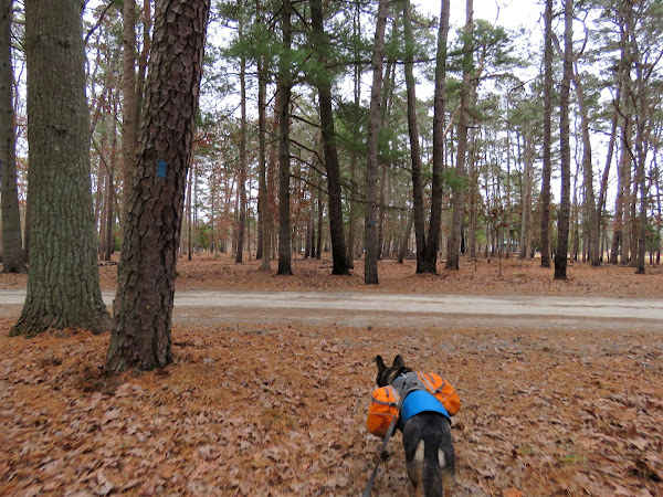
The early morning temperature north of me was -2 degrees, south was 10 degrees. I didn't even look to see what the wind chill temp was - I might have never gotten out of bed. South Jersey here we come! I had hiked the 8.5 mile white-blazed loop a couple of times before but now noticed that a newer 6.2 mile yellow-blazed trail was available so I hiked that along with other trails I had not hiked before.
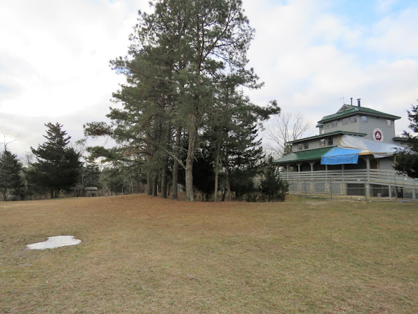 |
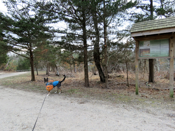
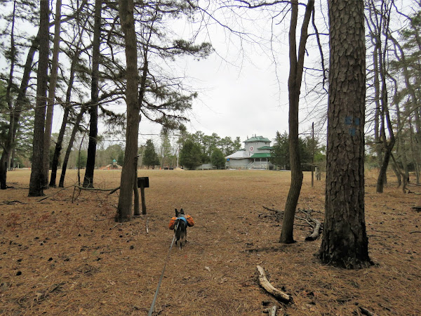
| Heading across the grass between the playground on the left and the visitor center on the right. |
 |
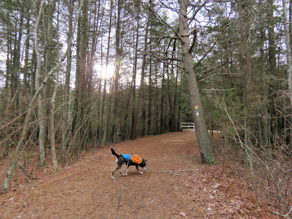
| At the sand road, left... |
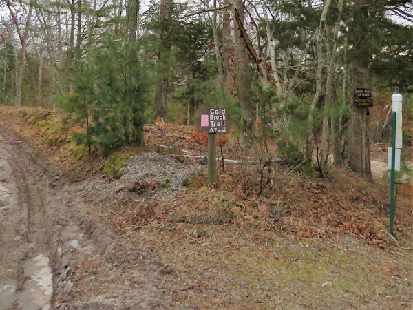 |
| ... then left on pink. |
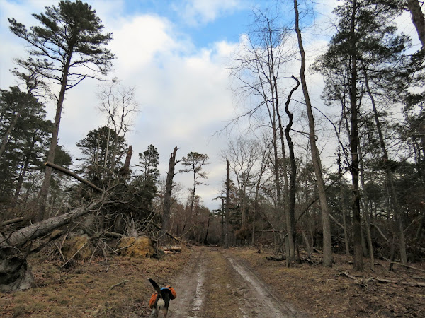 |
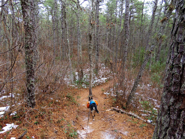
| It starts out kind of icky ... |
 |
| ... but it does turn into a nice trail. |
 |
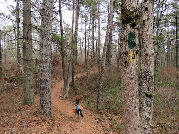
| Back at the sand road, left on yellow/green/white. |
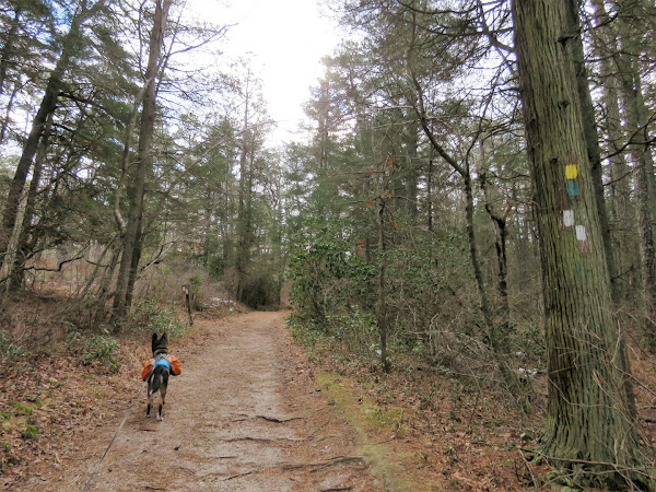 |
| White leaves to the left, staying with yellow/green. |
 |
| Green leaves to the right, staying left on yellow. |
 |
| Yellow actually goes right also but that would be the return of the loop. |
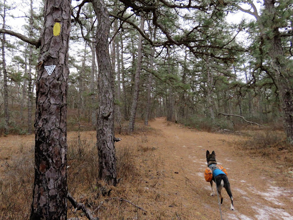 |
| Now in Wells Mills Wilderness Area. |
 |
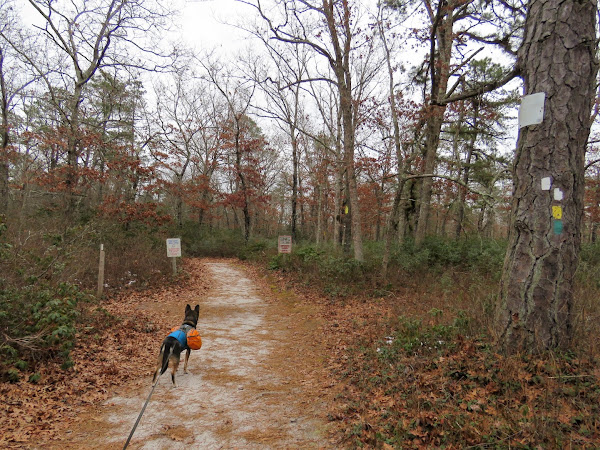
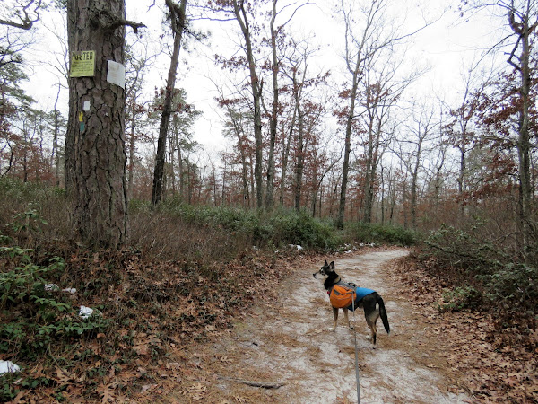
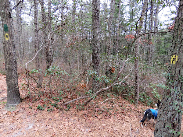
| You can tell when you have entered the scout reservation because there are private property signs EVERYWHERE! Just be sure to stay on the marked trail. |
 |
| Green and white join in briefly before white leaves to the left. We would be coming back that way in a bit. |
 |
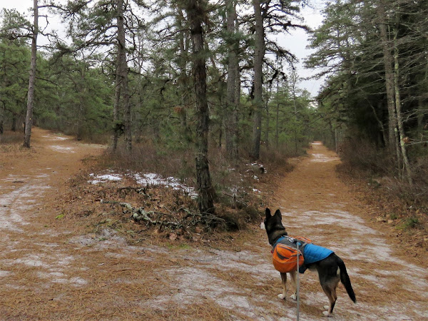
| We stayed on green/yellow all the way out until what crossed over, then turned left on white, |
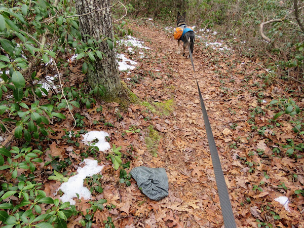 |
| I had encountered a man who was looking for his hat that he dropped. I told him I would pick it up if I saw it and put it in the map box at the kiosk. I found it! |
 |
| White doubled back and came out at that spot where yellow/green/white all came together. |
 |
| Yellow leaves to the left (where we had come in from before). |
 |
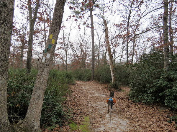
| White leaves to the left; we stayed with green. |
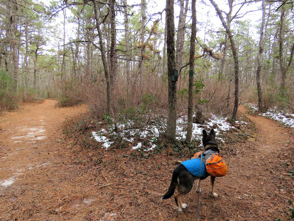 |
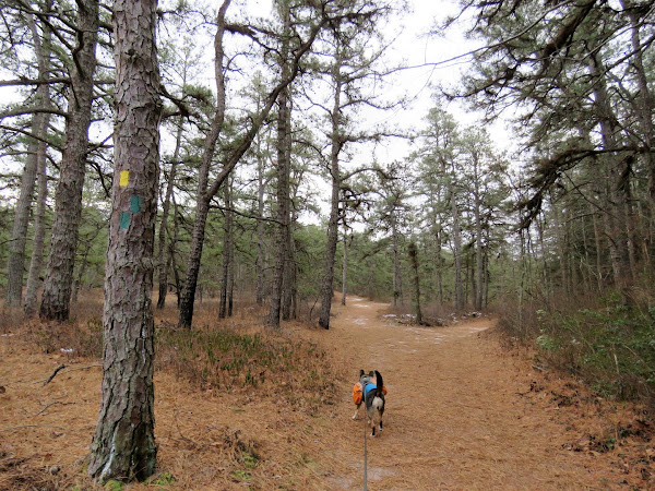
| At a fork there is a choice. Orange is to the left and it is a sand road. Green is to the right and it is a scenic path. They will both come back together at the other end. Right on green it is. |
 |
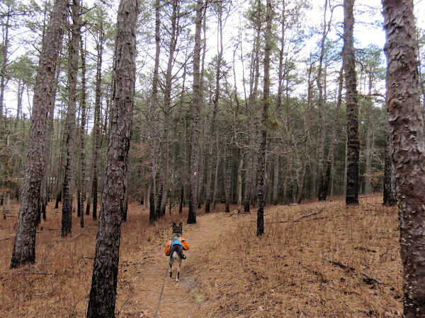
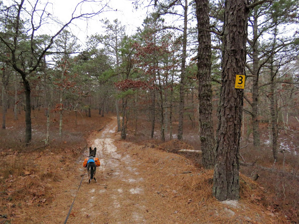
| It's hilly back in here but very pretty. |
 |
| A yellow/black dot trail goes downhill on the right ... |
 |
| ... to an old wildlife blind. |
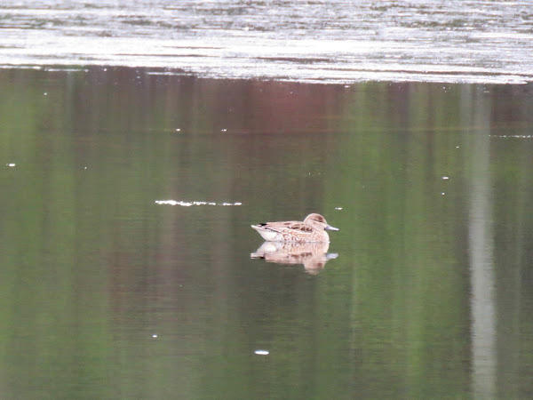 |
| One wildlife to be seen. |
 |
| Back on green/yellow-black-dot until ... |
 |
| ... white crosses over, then right on white. |
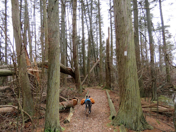 |
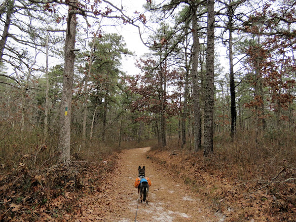
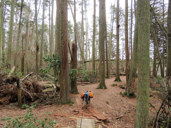
| There were a ton of Atlantic White Cedars down. |
 |
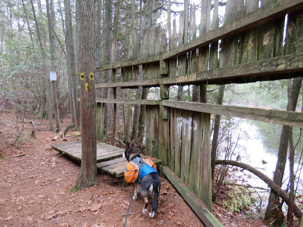
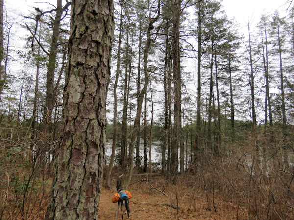
| Blue is on the left but we went a few steps ahead first ... |
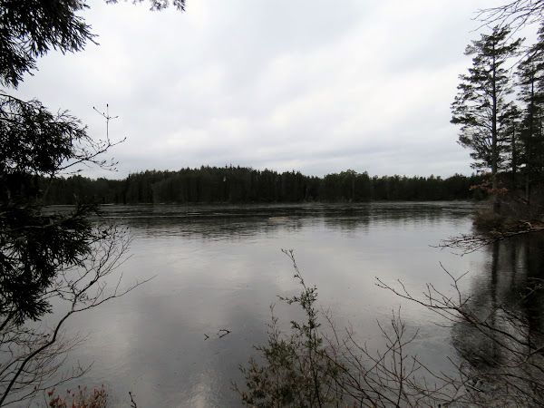 |
| ... for a better view of Wells Mills Lake. |
 |
| Blue crosses over the canoe access road ... |
 |
| ... back over to the visitor center and parking lot. |
 |
| For all the cars that were now in the parking lot, I only ran into a couple of people on the trails. |
 |
| Stopped to empty out and sort Brodie's backpack contents that we had picked up along the way - hat to leave at the kiosk/trash/recycle bin. |
For Jim and anyone else who is interested, the old Wells Mills trail map before the newer yellow trail: