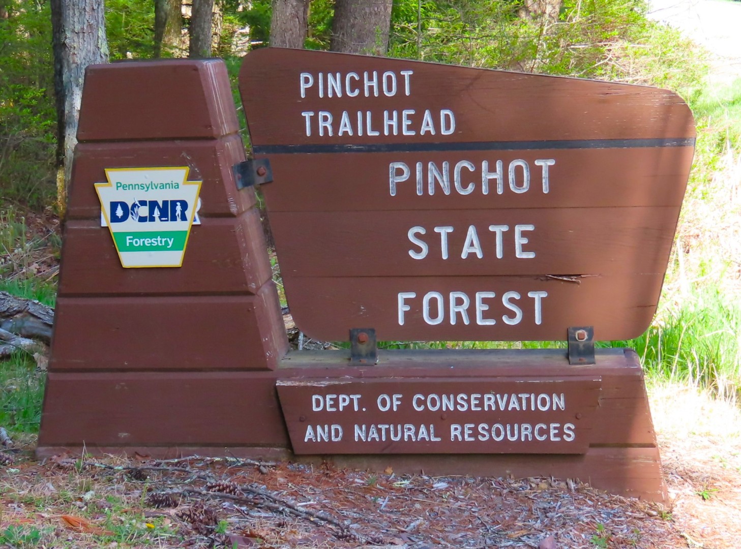
ABOUT THE PARK:
DIRECTIONS:
GPS Coordinates 41.21910, -75.63125
 |
| Pinchot Trailhead Parking |
TRAIL MAP:
HIKE DISTANCE: 12 miles
THE HIKE:
I hiked the
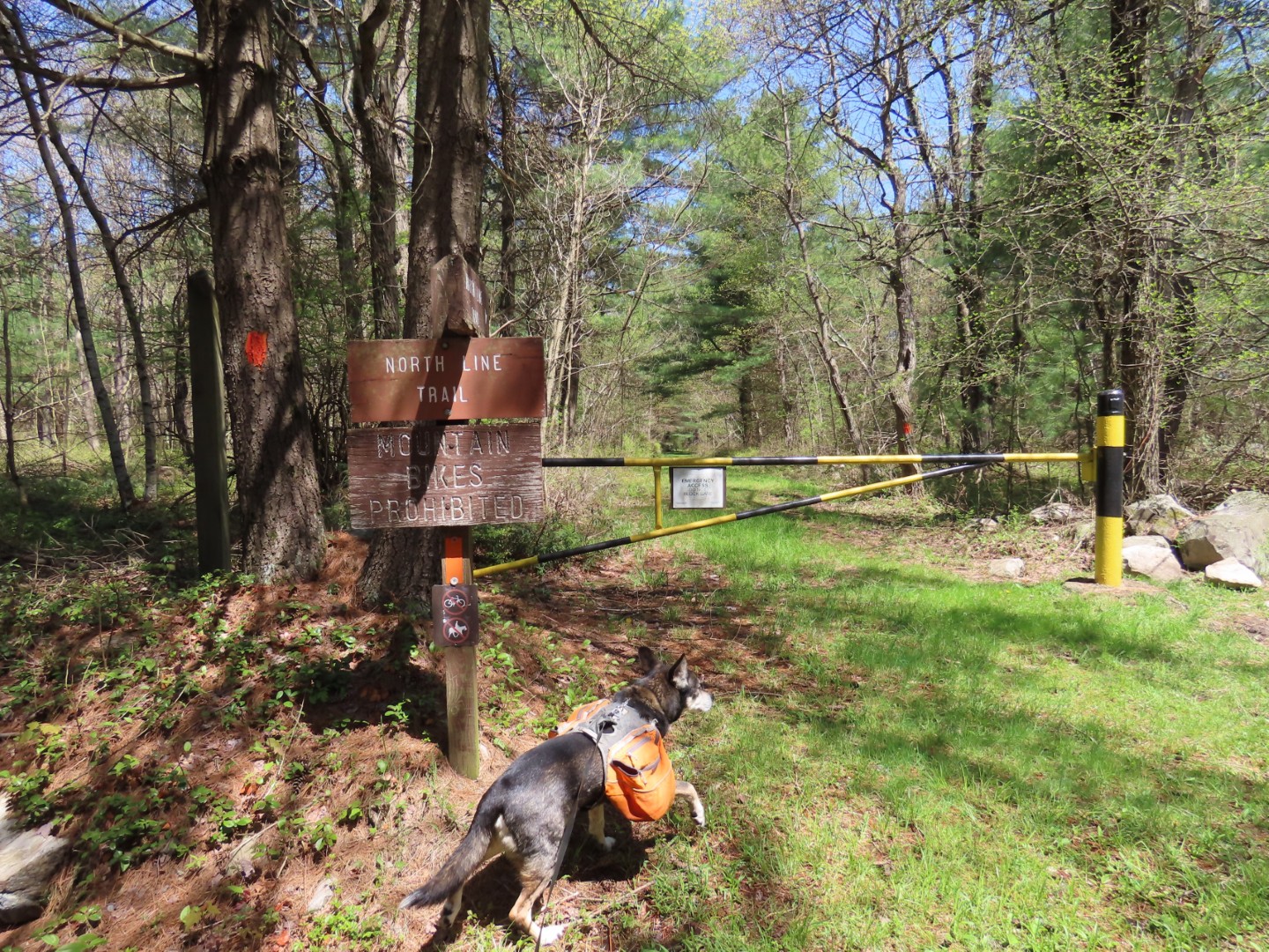
Pinchot Trail South in October 2018. As was the case back then, the Pinchot Trail North is very wet with frequent flooded out trail sections. There was also an abundance of ticks. I mean A LOT of ticks. I felt ticks when they were crawling on me, maybe about 5 in all and I had sprayed Deep Woods OFF. I pulled a good dozen off of Brodie when I put him in the car, found several dead in the car when we got home, and found many, many more dead in Brodie's bed and all over the floors the next day. All dead from his flea and tick treatment but there must have been 40-50 ticks on him. But the hike is remote, peaceful and scenic and the trail was clear throughout. The Pinchot Trail is blazed in orange and consists of several named trails linked together.
 |
| Starting at the far end of the parking lot. |
 |
| Just a few steps in on the trail and birds were making themselves heard. |
 |
| The swankiest trail register I have ever seen. But the book is full - I had the very last line. |
 |
| Chestnut-sided Warbler |
 |
| I turned left on the Pine Hill Trail leaving the Pinchot Trail for a bit. |
 |
| The Pine Hill Trail is blazed yellow and there are lots of huge roots to navigate over. |
 |
| And lots of wet sections. |
 |
| Crossing a grassy woods road. |
 |
| The backside of a black-and-white warbler. |
 |
| Turning left on Pine Hill Road. |
 |
| White-throated Sparrow |
 |
| Pine Hill Observation Deck |
 |
| Heading back on Pine Hill Road. |
 |
| Retracing on the Pine Hill Trail. |
 |
| Instead of retracing all the way back to the Pinchot Trail, I decided to take the grassy woods road figuring it would be less rooted and maybe drier. |
 |
| I was wrong about the drier part. I had brought crocs along so I changed into those to get through above ankle water for the first half several miles of the hike since it was in the 40's. That was time-consuming and annoying so once it warmed up, I just went in with my hiking shoes. You wouldn't want to wear waterproof hiking shoes for this hike because they would be useless and retain water. |
 |
| At the road, the Pinchot Trail comes in from the right and turns left on the road ... |
 |
| ... then right back into the woods. |
 |
| Crossing Spring Run that has plenty of rocks for getting across. |
 |
| Just expect this throughout the hike. |
 |
| Passing the Watres Trail. |
 |
| The far northern part has some rocky sections reminiscent of the Pennsylvania Appalachian Trail. |
 |
| Rose-breasted Grosbeak |
 |
| Shortly after passing the other end of the Watres Trail ... |
 |
| ... the Pinchot Trail crosses Painter Creek. The water was way too deep and fast moving to cross directly over. There were also trees down on the other side blocking the way to the trail. |
 |
| A short distance down stream the water was not as deep and slower moving. |
 |
| It was all clear to meet back up with the trail on the other side. |
 |
| A nice reprieve on a stretch of dry grassy woods road. |
 |
| This boardwalk was a surprise. |
 |
| Passing the Frank Gantz Trail. I had passed the other end earlier on the Pine Hill Trail. |
 |
| Ovenbird |
 |
| The trail crosses another grassy woods road. I have a feeling most people just turn right on the woods road because the section of trail that continues on the other side is very rough and I got caught up in a massive spiderweb which makes me believe nobody had been there in a long time. |
 |
| The Pinchot Trail comes back out on the woods road and crosses over but I turned left on the woods road to avoid part of the road walk on Bear Lake Road back to the parking lot. |
 |
| It comes out on Bear Lake Road where I turned left to meet back up with the Pinchot Trail for the road walk part back to the parking lot. |
Birds identified by Merlin Bird ID Sound App: Black-throated Blue Warbler