

Overmountain Conservation Area - Columbia Land Conservancy
DIRECTIONS:
GPS Coordinates 42.00677, -73.53570
 |
| The parking lot is to the right off of the entrance drive. Straight ahead through the gate is a residence. |
TRAIL MAPS:
Overmountain Conservation Area Trail Map (black and white) - Columbia Land Conservancy
Overmountain Conservation Area Brochure (older colored map) - Columbia Land Conservancy
HIKE DISTANCE: 9.9 miles
Hiked together with:
Drowned Lands Swamp Conservation Area (5 minutes away) - 1.8 miles
Buttercup Farm Audubon Sanctuary (25 minutes away) - 3.7 miles
THE HIKE:
 |
| There is a kiosk at the parking lot but we would be returning from behind that kiosk. |
 |
| To start we walked out of the parking lot, turned right ... |
 |
| ... and continued on the entrance road. |
 |
| This is marked as the green trail ... |
 |
| ... and it goes right through a residence which seemed awkward, especially since there were no trail markers for a while. But it is the trail. |
 |
| The markers start up again a little past the residence. |

 |
| A right on the purple trail up Round Ball Mountain. |
 |
| There is a loop at the top ... |
 |
| ... to views of the Taconic range with low morning clouds obscuring the valley below. |

 |
| Back down to continue right on green. |


 |
| Left on blue down to the bridge. |

 |
| Staying on blue for a while. |


 |
| The trail becomes a mowed path through meadows. |

 |
| Left on yellow but the posts don't have markers. |

 |
| A little way along, confirmation that it's the yellow trail. |

 |
| A bench at the top ... |
 |
| ... with views of the Taconics. |

 |
| Across the way, the gazebo where we would be heading next. |
 |
| Continuing on yellow. |

 |
| Passing through the Kite Hill trailhead. |


 |
| American Kestrel |
 |
| The gazebo with Catskill views. |

 |
| Continuing on yellow. |


 |
| The double blue markers indicate the double blue line on the map. |

 |
| This leads back to blue where we turned left. To the right would be the return route. |

 |
| Just beyond this stone wall red goes left but there aren't many markers and there are several grassy woods roads. Apparently I managed to stay with red since I did start seeing markers again. |


 |
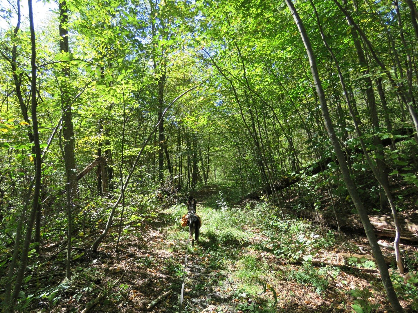
| It's all woods road that loops back around as blue on the map but it actually stays red until... |
 |
| ... green goes left to the Fox Hill trailhead parking lot and blue goes right; we stayed right on blue. |
 |
| Now it's blue all the way back to the creek crossing at Round Ball Mountain. |

 |
| We packed out balloon #23 of the year. |
 |
| Back through the break in that stone wall where we had taken red to the right earlier. |


 |
| Along the entrance road to the Kite Hill trailhead, blue will go straight but watch for a left turn ... |
 |
| ... across the road and up the steps to the meadows. |
 |
| Left at the mowed grass path. This is where we had to stand for a good 5 minutes while a woman tried to leash her three out of control dogs that she had running amok and had zero control over. I was not amused. This is why these places start banning dogs. |


 |
| After crossing the bridge over the creek ... |
 |
| ... up the hill to the end of blue and left on green where we had come in from the right previously. |
 |
| Other than that balloon, the only other piece of litter we found the entire hike. |

 |
| Green will go straight and loop around to the kiosk of the parking lot but we turned right on yellow. |
 |
| There was a car with music blasting and this route got us farther away from the road. |
 |
| Back at the kiosk ... |
 |
| ... and the parking lot. |