

Belleplain State Forest - New Jersey State Park Service
DIRECTIONS:
GPS Coordinates 39.24854, -74.84209
 |
| Parking at the state forest office. |
TRAIL MAP:
Belleplain State Forest Trail Map - New Jersey State Park Service
HIKE DISTANCE: 13.2 miles
THE HIKE:
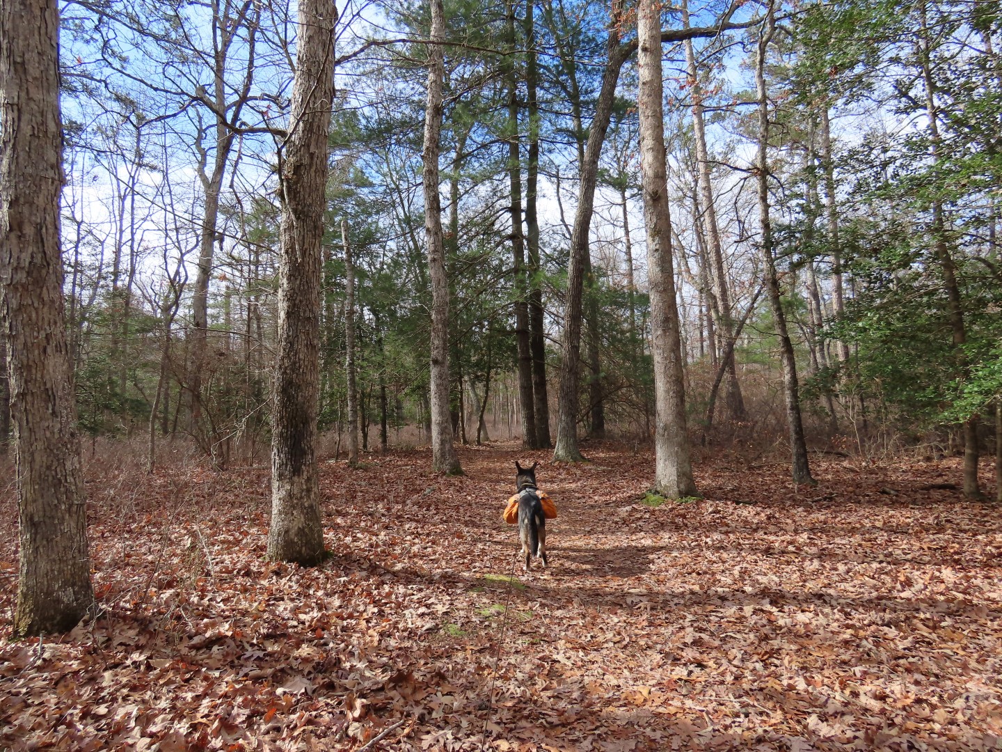
I hiked the East Creek and Ponds Trails back in December 2010. This time I extended the hike by adding on some of the pink-blazed mountain bike trails and trails in the Lake Nummy area.
 |
| Starting on the red-blazed North Shore Trail to the right of the forest office. |


 |
| The trail ends at the green-blazed Goosekill Trail where we turned right. We would be returning from the left. |

 |
| Where the green trail ends, right on ... |
 |
| ... the Champion Trail just a few steps to ... |
 |
| ... left on the pink Mountain Bike Trail. |
 |
| We did not see any mountain bikers at all but did have to deal with the sound of gunfire nearby for the first 2 hours of the hike. Brodie freaks out over that so it makes for unpleasant hiking for both of us. |
 |
| I cut off a section by taking an unmarked trail to the left. |
 |
| Pink joins back in from the right. |

 |
| Cutting off another section of pink on an old road to ... |
 |
| ... rejoin pink where it crosses over. This got us out of hearing range of that awful gunfire. Or they just stopped shooting finally. |

 |
| Couple of park road crossings along the way. |


 |
| Pink meets up with the white East Creek Trail where we turned right. |
 |
| East Creek Trail |


 |
| At a particularly wet section ... |
 |
| ... a faint path leads to the left to the sand road ... |
 |
| ... then back over to the trail to bypass that section. |


 |
| Following along East Creek Pond. |
 |
| East Creek Pond |
 |
| At a parking lot on Route 347 the trail turns left for a road walk but we crossed over to ... |
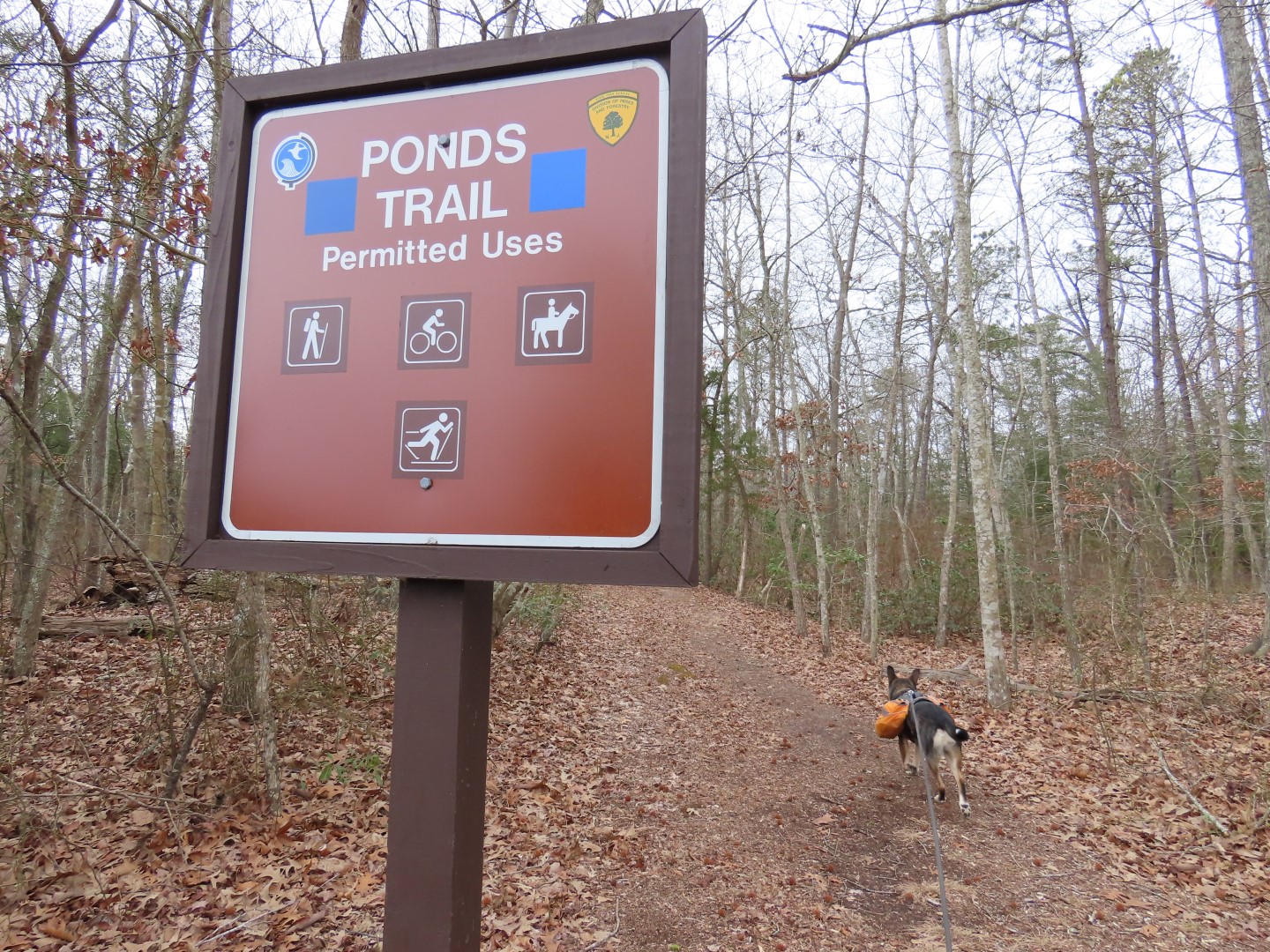 |
| ... the Ponds Trail which leads to Pickle Factory Pond. |
 |
| When I hiked this back in 2010 the trail was very overgrown. It was wide open now. |
 |
| There were a few downed trees to hurdle over and some wet spots to navigate. |

 |
| Green joins in for a bit ... |
 |
| ... before leaving blue when blue turns left. |

 |
| Then just after this wet area crossing, about half way to Pickle Factory Pond ... |
 |
| ... the trail floods out completely. |
 |
| I could find no way around this and the flooding extended up the trail as far as I could see so it was completely impassable, not at all the case back in 2010. We had no choice but to turn back. |

 |
| Back at the beginning of the Ponds Trail we crossed over and turned right to continue on the white East Creek Trail. |
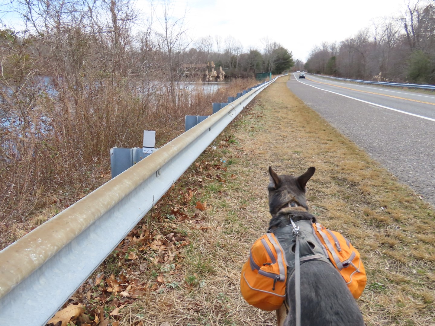 |
| It's not a pleasant road walk with with lots of traffic zooming by. |
 |
| East Creek Pond |
 |
| Someone had told me you can cut off part of the road walk by finding a way over to the cabin drive to the left, which is what we did. |
 |
| At the drive turn left again towards the cabin then in front of the cabin, turn right ... |
 |
| ... cross the ball field to the far right corner ... |
 |
| ... where there is an unmarked trail that leads to ... |
 |
| ... the East Creek Trail where we turned left. |


 |
| I had noted back in 2020 that this was a brand new section of boardwalk. Not so new any more. |


 |
| At the road just past the maintenance area we turned left on the road, then right ... |
 |
| ... then left again at Lake Nummy towards the beach. |
 |
| We turned right into the beach area then straight ahead to ... |
 |
| ... the nature trail. |


 |
| This ends at the green Goosekill Trail where we turned left.... |
 |
| ... then right on the red North Shore Trail all the way back to the parking lot. |


Hi Daniela -- great (as always) to see you back in South Jersey. It's been some time since I hiked at Belleplain...I'm definitely due back for a visit. (I have a friend that lives near there; I'm hoping to get him out there sometime...but he may end up fishing in Lake Nummy!)
ReplyDeleteI had high hopes for the Ponds Trail, as it looks like there was perhaps some "work" done to the beginning of the trail (across from the East Creek Pond parking lot); I always remember it as extremely overgrown...almost to the point that one cannot tell there was even a trail there! Unfortunately, the middle portion(s) still look to be extremely flood-prone. I once did the trail when I was wearing hiking boots...I simply powered through the mucky sections so I could do the full 2+ miles to arrive at Pickle Factory Pond -- well worth the effort! I also didn't realize the Turtle Walk Trail was officially blazed in green; I thought only the non-motorized hiking trails were blazed, and one sort of had to know where the motorized trails were/led to. I wonder if the Champion Trail is blazed (I think maybe yellow?) I was thinking of a nice Champion Trail - Dundrea Trail - Steelmantown Road - McKay Trail loop...or some other combination thereof. I once tried the Boundary Trail, but holy cow was that a no-go after about 50 feet or so (from Route 550)! Would be nice to try a Seashore Line Trail - Boundary Trail combo sometime.
Interesting that you incorporated a little of the Mountain Bike Trail into your hike; I have seen it before, but I'll probably save that one for...well, my bike! Anyway, thank you for whetting my appetite for more adventures at Belleplain; looking forward to more of your adventures!
-- Jim
I was just getting over being hunched over with back pain for a few days so I needed an easier hike with the ability to cut it short if need be and hadn't been here in a long time so Belleplain it was. Turns out it "cured" my back the rest of the way and I have been pain free since.
DeleteThe park map shows which trails are for cars so I tried to avoid those but when crossing never saw any cars at all. I remember in 2010 having to wait for traffic to go by on those park road crossings. It was a shame about the Pond Trail because I remember the pond being pretty nice when I made it there previously. But didn't want to get wet feet being half way out from my car so I turned back. There were orange ribbons hanging along the trail in that flooded area so maybe something is in the works to build a crossing for that? I am sure the trail would get more use if it were actually usable.