ABOUT THE PARKS: There are several small preserves with trails along the bike route:
DIRECTIONS:
GPS Coordinates 41.68687, -71.28399
 |
| Large Parking Lot on Asylum Road |
TRAIL MAPS: DISTANCES:
I had this trip planned months ago as an add-on on the way home from an REI hiking trip in Maine that I had registered for. REI then cancelled all of their adventure trips but I kept the Rhode Island part and so glad I did - it was so much fun!
Friday, June 27, 2025
Saturday, June 28, 2025
HIKE - Colt State Park Hiking Trails - 1.7 miles
BIKE - Easy Bay Bike Path with Colt State Park Bike Trails - 32.4 miles
THE BIKE:
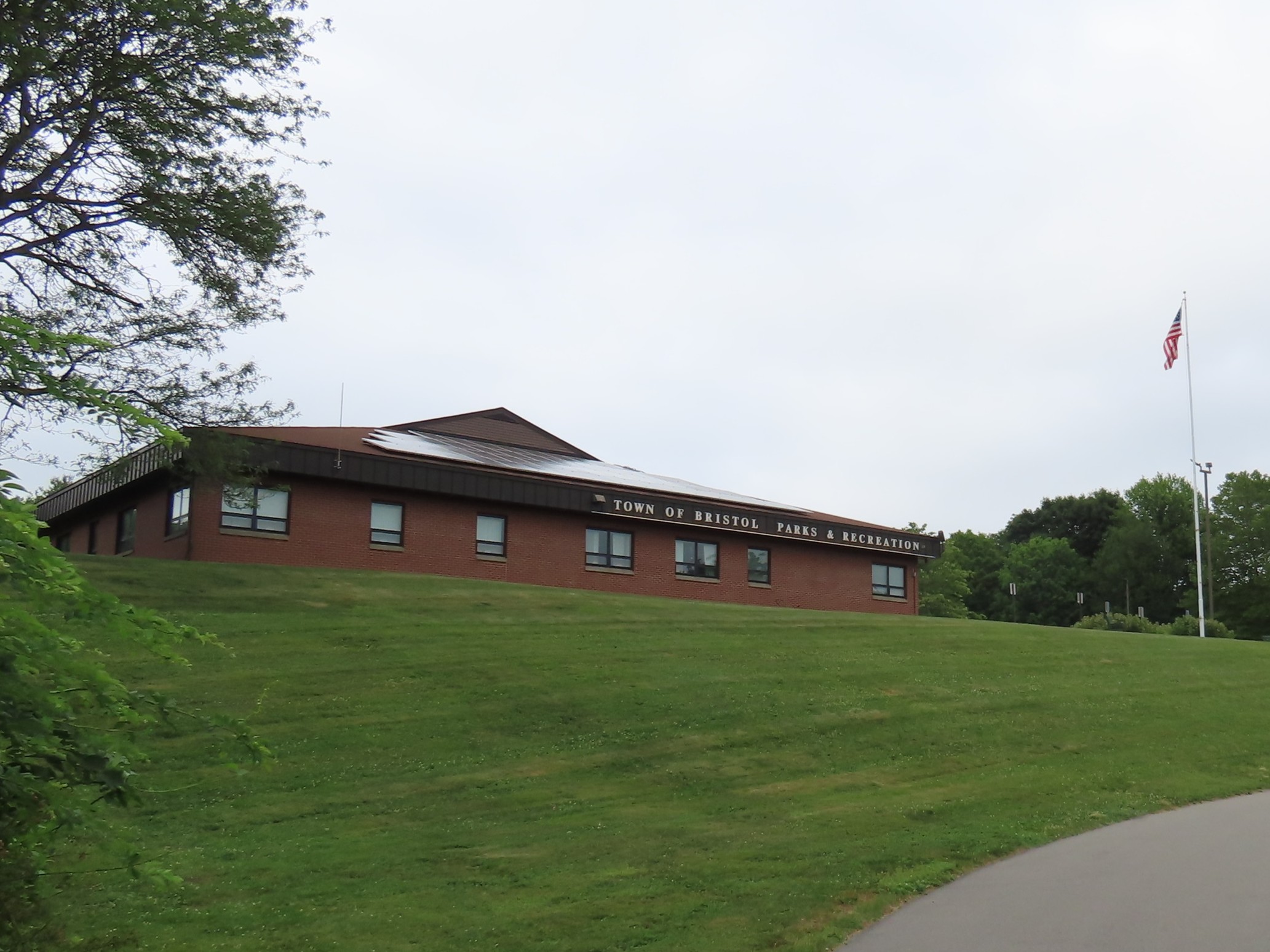
Back during COVID when nobody could go to the gym, instructors started teaching remotely on Zoom. That is when I happened across the Zumba classes at Bristol Parks and Recreation in Bristol, RI. Nellie was doing Zumba classes from her basement. She continued to provide classes on Zoom from the rec center once in person classes resumed and I have been taking these classes every since. She has the BEST Zumba classes! Nellie always said she would love for me to come for an in person class so this was the day. I was early so to kill some time I quickly hiked the short loop at the far end of Colt State Park which is right next to the rec center.
 |
| Then on to the rec center ... |
Afterwards, all I had to do was move my car across the street to the bike path parking lot.
 |
| It was misty when I took off but the chance of rain had gone way down so I was hopeful it would clear up. It did eventually. |
 |
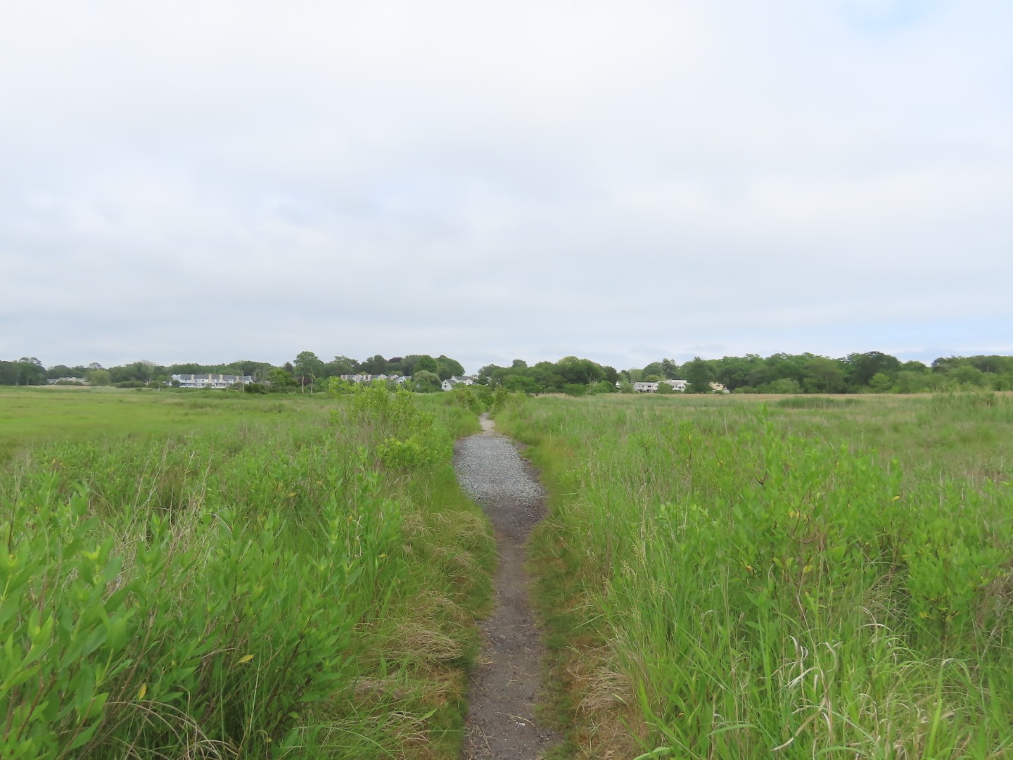
| The largest of all of the preserves that I passed. To the left a long boardwalk. |
 |
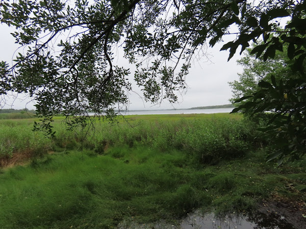
| Views of Warren River at the end. |
 |
| Heading back. |
 |
| An osprey landed in its nest. |
 |
| More of the preserve on the other side of the bike path. |
 |
| A song sparrow was the only bird around. |
 |
| Except for the raven in the outdoor enclosure. |
 |
| Passing the Warren Dog Park. |
 |
| This small conservation area had a nice sign ... |
 |
| ... and a bike rack but ... |
 |
| ... litter and tents everywhere. I felt like I had wandered into a homeless encampment. I couldn't get out of there fast enough. |
 |
| A quick look at Belcher Cove before running out of there. |
 |
| Glad to be out. |
 |
| There are a couple of detours for bridge replacements. This one over the Palmer River. The RIDOT web site states: | "The bridges are scheduled to be reopened to the public in the spring of 2026, concluding a long-running $24 million replacement project. Detours at the prior bike path bridges have been in place since 2019, when RIDOT determined that they had badly deteriorated and were no longer safe for pedestrians to use"
|
 |
| The detours are not bad at all and flow pretty smoothly from one bridge to the other. |
 |
| Detour over Barrington River. |
 |
| I had my eye out for this vegan restaurant that I wanted to stop at for lunch on the way back. When I saw it I stopped to pin it in my app so I would not miss it later. |
 |
| On this bike path, contrary to the norm where everyone keeps to the right (well, that is what everyone is supposed to do) here the rules are for bikes to keep right and pedestrians to keep left. That would actually work very well if everyone could read the many, many such signs along the way. But of course there are always those who cannot read and follow directions and on a bike path as busy as this one, that can cause traffic flow problems. Fortunately it didn't happen very often. |
 |
| Pomham Rocks Lighthouse is the last standing historic lighthouse on the Providence River. It costs something like $50 for a tour. |
 |
| He can get there for free. |
 |
| On the right, another conservation area. |
 |
| It's a quiet loop path through the woods to ... |
 |
| ... a boardwalk out to the pond. |
 |
| Finishing up the loop and continuing on... |
 |
| ... after a look at the pond from the bike path. |
 |
| Spooky Bottom Scenic Dock on the left. |
 |
| Providence, RI |
 |
| Providence River |
 |
| I turned around to head back just shy of Providence where the bike path ends. The path started to go uphill pretty steeply and my legs just did not have the strength for it at this point. It also gets more crowded since most people seem to start in Providence. |
 |
| There are quite a few road crossings but what I found totally amazing was that 98% of motorists will stop and wait before the bike even gets to the road crossing which allows for riding on through. That was pretty awesome. |
 |
| Coming back into Barrington ... |
 |
| ... for lunch! |
 |
| I ordered the Wild Mushroom Sandwich on focaccia - hands down the best sandwich EVER! |
 |
| Back at the detour. |
 |
| I missed this trail on the way out and stopped to hike it. |
 |
| Warren River |
 |
| There were baby groundhogs off to the side on my way out and they were still there. So cute. |
 |
| Back at Asylum Road, parking is to the left, Colt State Park to the right, and the bike path continues on for one more mile in to Bristol. I went straight. |
 |
| The end of the East Bay Bike Path. |
 |
| Bristol Harbor |
 |
| Heading back. |
 |
| At Asylum Road, turning left for the three mile bike loop through Colt State Park. |
 |
| Mill Gut |
 |
| John Chafee Statue - 66th governor of Rhode Island (1/1/1963-1/7/1969) who dedicated the former Colt Farm as the state park. |
 |
| Back at the parking lot. |