

Jenny Jump State Forest - New Jersey State Park Service
DIRECTIONS:
GPS Coordinates 40.92182, -74.89366
 |
| At this time there is only one parking lot shown on both maps. That one is full of deep holes and large piles of gravel. This second parking lot (not shown on maps) is a little farther down the road. |
TRAIL MAPS:
Jenny Jump State Forest Trail Map - New Jersey State Park Service
Jenny Jump State Forest Trail Map - New York New Jersey Trail Conference (free map)
HIKE DISTANCE: 10.2 miles
THE HIKE:
 |
| With your back to the street you have to head to the right and around the bend to access the beginning of the blue Ghost Lake Trail, which is not visible from the parking lot. |
 |
| More piles of gravel. Wondering if the parking lots are being revamped because ... |
 |
| ... it appears this is a newly resurfaced walkway across Ghost Lake. |


 |
| The first overlook is at some ruins which have become an illegal camping spot. |
 |
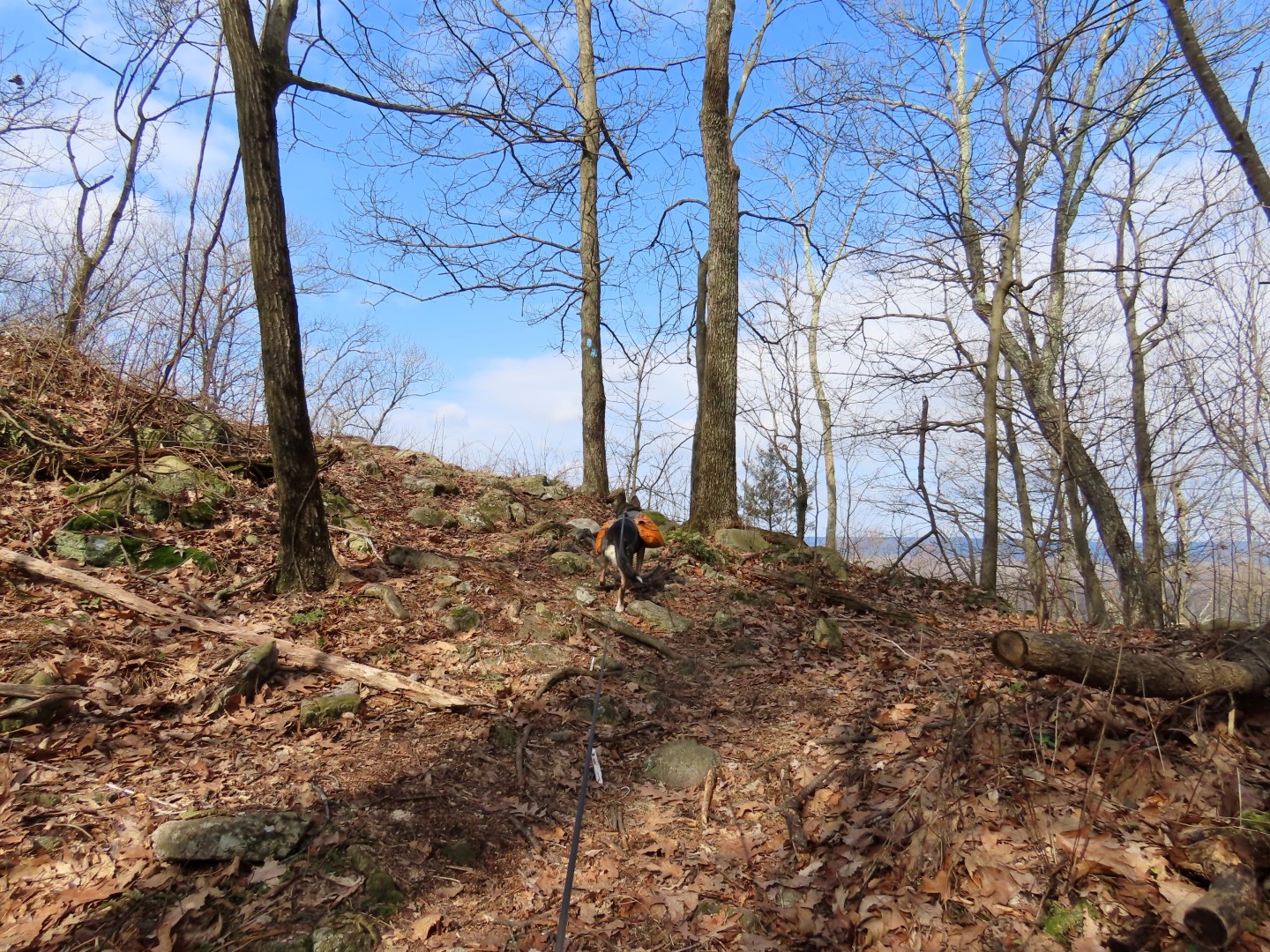
| The trail starts to climb more steeply up Jenny Jump Mountain. |
 |
| Not sure what this is - only saw one such sign. |
 |
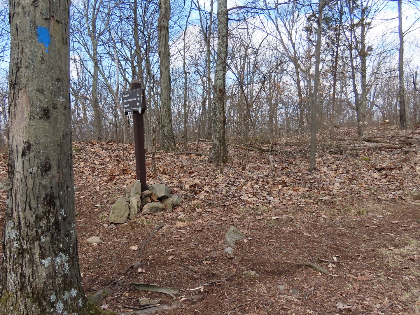
| Brand new posts at intersections that weren't there when I last hiked here in 2011. |
 |
| Now on the yellow Summit Trail. |

 |
| More overlooks along the way. |
 |
| At this sign, the blue Spring Trail comes in from the left. That is how we would be returning later. |
 |
| Coming up on this bench ... |
 |
| ... outstanding views of the Delaware Water Gap. |


 |
| Keeping left when the red Swamp Trail joins in ... |
 |
| ... all the way to the campground where the trails end. |
 |
| Continuing straight through the turning right after passing the restroom building. |
 |
| Then left towards the park entrance sign, continuing straight to ... |
 |
| ... veering right into the day use area. |
 |
| At the far end of the day use parking lot, the start of the blue Jenny Jump Trail. |


 |
| It's mostly smooth woods road until it begins to climb in a rocky area ... |
 |
| ... up to ... |
 |
| ... the first overlook on the map. Based on the cut trees below, this overlook is kept clear. |
 |
| Continuing on to the second overlook on the may which we passed by and had to retrace to because ... |
 |
| ... it is blocked by a log and rocks and the path is not well-defined. |

 |
| Although shown on both maps, this overlook is apparently being eliminated as the trail is blocked off and so is the view. |
 |
| Retracing past the maintained overlook. |
 |
| Where the trail veers right, we took a woods road to the left. |
 |
| This loops around joining back up with the Jenny Jump Trail when it crosses over. |

 |
| Back on the Jenny Jump Trail. |
 |
| Where the trail veers left, we took the woods road to the right. |
 |
| It comes out into a field where we continued straight ... |
 |
| ... to a little pond. |
 |
| Keeping to the right of the pond on a woods road that has an occasional white blaze but is not on any maps. |
 |
| At the gate at State Park Road ... |
 |
| ... blue blazes come in from the left. No idea what that is because the Jenny Jump Trail doesn't go this way and this is not on the maps. |
 |
| We turned right and walked a few steps up State Park Road to the gate on the left ... |
 |
| ... which leads through the cabin area. |
 |
| Back at that restroom building we turned right through a parking lot ... |
 |
| ... to the blue Spring Trail. |


 |
| When the trail turns left it becomes very rocky and steep ... |


 |
| ... all the way up to the yellow Summit Trail where we turned right to retrace from the beginning of the hike. |


 |
| Right on the blue Ghost Lake Trail. |


