ABOUT THE PARK:
DIRECTIONS:
GPS Coordinates 41.073771, -74.963210
 |
| Millbrook Village Parking |
TRAIL MAP: HIKE DISTANCE: 14.4 miles
The loop can be shortened to around 10 miles by eliminating the Donkey Hollow Trail and starting at the Blue Mountain Lakes parking lot.
THE HIKE:
 |
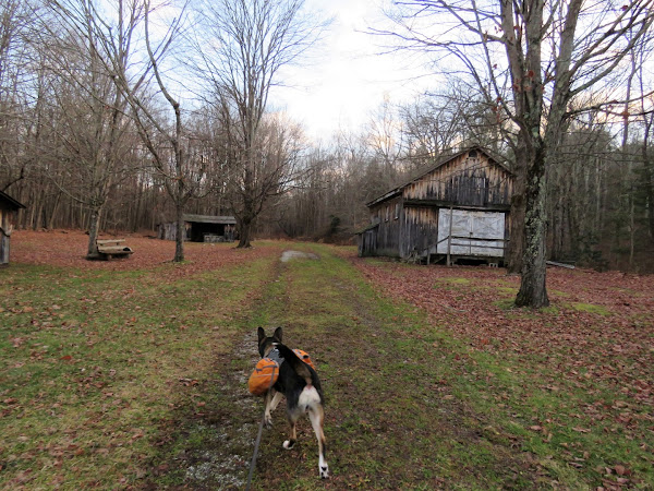
| Starting at Millbrook Village heading to the Donkey Hollow Trail. |
 |
| When I was here last May this trail was pretty clear to the point where it veers away from Vancampens Brook then it became a bit overgrown with some blow downs but still passable. On this day, all blow downs had been cleared and the trail was wide open all the way through. |
 |
| Van Campens Brook |
 |
| At Blue Mountain Lakes Road the Donkey Hollow Trail ends but a woods road continues the other side of Blue Mountain Lakes Road. I had scouted out a bit of it back in May but wanted to wait until winter when vegetation had died down in case it was unmaintained and overgrown. |
 |
| There were some blow downs to step over but the woods road was much clearer than I expected. |
 |
| Looks like it might be used for mountain biking, hence some unofficial maintenance to keep it clear. |
 |
| Some waterfalls along the way. |
 |
| Old stone work. |
 |
| Entering Walpack WMA. |
 |
| Deer hunting is allowed in WMAs on Sundays and knowing I would be passing through one, I wore my blaze orange but I saw no evidence of anyone else there. |
 |
| Near the end of this 3.3 mile stretch, this was the first glitch I encountered - no bridge when a creek runs over the woods road. There was a faint path to the right through sticker bushes so I followed that a bit upstream where there was a log crossing. |
 |
| Brodie went over. And fell in. I checked and the log was slippery as were most of the rocks that could be used for rock hopping. I finally found enough that weren't slippery to make it over. |
 |
| Literally five steps the other side of the water crossing, a bridge over a smaller water crossing. |
 |
| Flat Brook down to the left. |
 |
| The woods road runs into Mountain Road at the end. We needed to turn right but I wanted to go a short distance to the left first ... |
 |
| ... to the bridge over ... |
 |
| Flat Brook |
 |
| Now back to where we came off the woods road and continuing on Mountain Road which was closed to traffic for the winter. |
 |
| Leaving Walpack WMA and reentering Delaware Water Gap NRA. |
 |
| Interesting farm ruins along the way. |
 |
| Coming up on ... |
 |
| ... Buttermilk Falls. |
 |
| Taking the blue Butermilk Falls Trail up along the falls. |
 |
| The last section of steps are really steep and I was cursing myself for having done a step aerobics class the day before. My legs were burning! |
 |
| At the top of the falls but not done climbing yet. |
 |
| At an intersection, right on the yellow-blazed Woods Trail. |
 |
| The serious climbing done, just some rolling ups and downs from this point on. |
 |
| Coming up on a pretty swamp. |
 |
| At the end of yellow, continuing on to ... |
 |
| ... the dam at ... |
 |
| Hemlock Pond |
 |
| Right on the blue-blazed Blue Mountain Lake Trail. |
 |
| Now this is something you don't see every day on a trail. |
 |
| I Googled and found that this A1 model (this is A9, could not find anything on that), shown in this illustration, is from around 1950. This appears to be an antique and I found a couple being sold on eBay for $299, in much better shape, of course! |
 |
| Continuing right on blue a short distance at the fork, then a short distance ahead ... |
 |
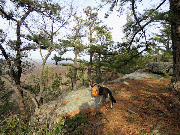
| ... right on unmarked to views at Indian Rocks. |
 |
| Delaware River from Indian Rocks. |
 |
| Big Pocono Mountain in Pennsylvania. |
 |
| Continuing on the blue trail, it veers left downhill at this point, although I went straight beyond the blow downs on an unmaintained portion, but either one ends up back on blue where a right turn leads to ... |
 |
| ... the end of blue at the Blue Mountain Lakes parking lot. |
 |
| We turned right on Blue Mountain Lake Road for a downhill road walk back to ... |
 |
| ... left on Donkey Hollow Trail which goes uphill briefly then blissfully downhill the rest of the way. |
 |
| Ending back at Millbrook Village. |


