Tuesday, March 30, 2021

Middlesex Greenway, NJ - Dudash Park - Mile 3.5 EB, Mile 0 - Dudash Park WB

ABOUT THE PARK: 
Middlesex Greenway - Middlesex County 

DIRECTIONS: 
GPS Coordinates 40.526516, -74.320693
Parking at Dudash Park

TRAIL MAP: 
Middlesex Greenway - Middlesex County

HIKE DISTANCE:  2.5 miles (1.25 miles each way)

THE HIKE: 
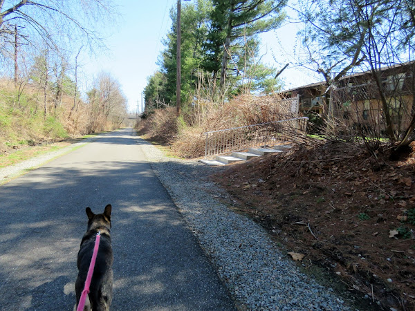
From the huge parking lot, head towards the path straight ahead.
The path veers to the  left and ends at the street but just the other side of those huge boulders ...
... is the Middlesex Greenway entrance.
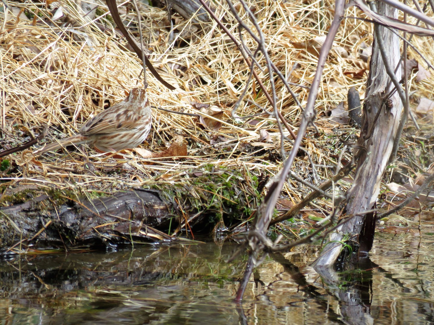
Looking to the left there were tons of people, to the right only a couple of bicycles so we headed west and other than a bicycle here and there, ran into nobody else.
Balloon #7 of the year.
A couple of apartment complexes along the way have direct access to the greenway.
A little turn around circle at the 3.5 mile marker at the end of the greenway ...
... or the beginning at mile 0 heading back.
They do a nice job of keeping the graffiti painted over.
Can't miss the way back to Dudash Park on the left.

Saturday, March 27, 2021

Port Jervis Watershed Park, NY - Deerpark Dam

ABOUT THE PARK: 
Port Jervis Watershed Trails - National Geographic

DIRECTIONS: 
GPS Coordinates 41.40924, -74.68910
Deerpark Dam Parking

TRAIL MAPS: 
Watershed Maps - Port Jervis Watershed Trails Facebook Page


HIKE DISTANCE:  7.2 miles

THE HIKE: 
Trails are accessed from the far end of the parking lot.
These directional posts are at all intersections.  We turned right on yellow and would be coming back from the left on blue.
Deerpark Dam visible from the trail.
Before yellow makes a hard turn to the left (we'd be picking that up later) we worked our way over to the entrance road we had driven in on for a short road walk portion.
At the dam ...
... keeping to the right.
Before the paved road veers left, straight on the white-blazed Delaware Trail beyond the yellow gate.  We would be returning from the left.
Keeping straight on white.
Lots of nice water views along the way and ...
... views of High Point Monument in New Jersey in the distance.
Leaving white and turning left on the blue Lost Bear Trail.
This downy woodpecker ...
... had quite a hole going in this tree.
I had been looking for a boulder or log to take a break but they are all incorporated into the mountain bike trails.
Ahhh, finally some boulders off trail to sit on.  As soon as we parked ourselves, the only group of mountain bikers we saw on this part came by.
At the end of blue, we turned left on the Tufted Trail.
This trail is not actually blazed but there are occasional watershed markers along the way.
The woods road continues straight but the Tufted Trail turns left ...
... and becomes more narrow.
The sound of rushing water follows from down below to the right.  The trail finally meets up with it but it doesn't cross over.
Shortly after crossing over this creek on a woods road ...
... the Tufted Trail leaves to the left.  We kept straight on Pine View which is not blazed.
Balloon #6 of the year.
Pine View ends at a yellow gate where we turned left ...
... following the paved road where we had picked up the Delaware Trail earlier.
Passing back by the dam ...
... and keeping left on the road to the parking lot.
We could have stayed with this road back to the car but why when there are trails?
We connected back up to the yellow trail just at the tip of the rise but did not turn left to retrace the was we started.  We turned right since the yellow trail loops around heading back to the parking lot so we did not have to retrace.
A level higher up from where we had been on yellow at the beginning of the hike.
At the end of yellow, left on blue.
Back at the parking lot.