ABOUT THE PARK:
DIRECTIONS:
GPS Coordinates 41.09049, -75.88084
 |
| Visitors Center Parking Lot |
TRAIL MAP: HIKE DISTANCE: 5 miles
THE HIKE:
I had been driving through rain and storms for 350 miles from Toledo, OH to literally the exit I needed to take for my last hike of the trip. Obviously, that hike had to be scrapped as the storm was right there. So I continued on, out of that storm at last. Thinking there would be no hike on day two of the drive home, I checked the weather app when I stopped to get gas in White Haven, PA just 100 miles from home. To my surprise that storm was not due to hit for 4 hours and Nescopeck State Park was only 6 miles away so what the heck, I could knock off a few miles in 4 hours. It was not a planned hike so I had to wing it but I
had hiked here previously in 2016 and sort of remembered the trails.
 |
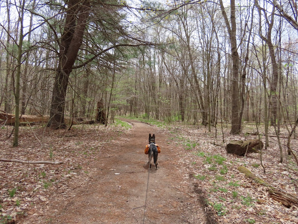
| Heading away from the visitors center the Lake Trail starts to the left off of the parking lot. |
 |
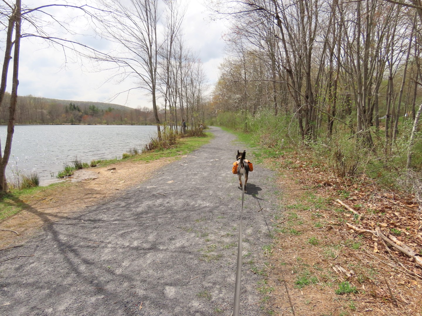
| A right along Lake Frances. |
 |
| Lake Frances |
 |
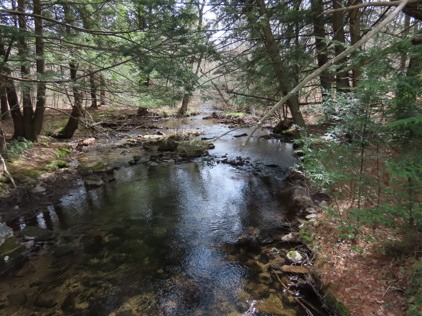
| Taking the Creek Side Trail... |
 |
| ... along Nescopeck Creek. |
 |
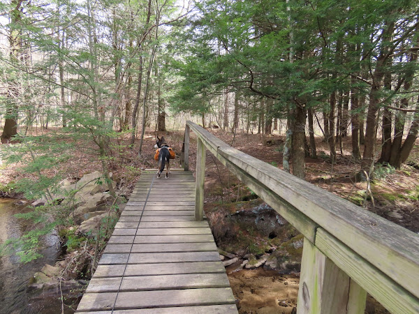
| There was a brand new bridge over a side creek then ... |
 |
| ... no signs, probably down from the construction. |
 |
| Looking back at the bridge, I saw a faint trail so we took that. |
 |
| I had been wondering if there was a way to the other side of Nescopeck Creek because it looked like there might be a path on that side. |
 |
| And look here, a bridge over Nescopeck Creek! |
 |
| We ended up on the other side where there was a path/old woods road that we followed as long as we could. I had not been here before. |
 |
| Eventually I lost the path in a mass of downed trees and headed back. |
 |
| Back at the bridge over Nescopeck Creek, we continued straight passing by where we had come in from on the right. |
 |
| Back at the Nescopeck Trail almost at the point where we started the Creek Side Loop, we turned left to retrace. |
 |
| Instead of heading back to Lake Frances, where it was pretty busy, we kept straight on the Nescopeck Trail. |
 |
| This comes out at a parking area on Honey Hole Road ... |
 |
| ... where there is a historical marker. |
 |
| Looking to the left, that storm's a comin'. |
 |
| Turning right and road walking for a bit which was a good choice because the wind had kicked up and I could hear trees crashing down in the woods. |
 |
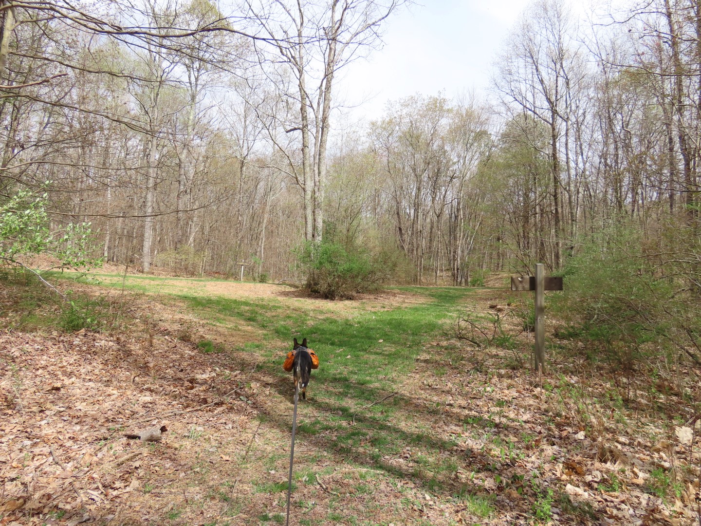
| A somewhat overgrown path on the right ... |
 |
| ... led back to the parking lot. |
 |
| A tree had crashed down across the entrance to the lot right at the visitors center but fortunately there was another way out. |
 |
| Back on I-80 the storm had arrived and there was a pretty rainbow up ahead. |
 |
| Fortunately the storm had just made it to this point so I was able to outrun it fairly quickly after the Delaware Water Gap. However, it arrived at my house hours later so I basically went through the same storm three times. |