

ABOUT THE PARK:
Fox Ridge State Park - Illinois Department of Natural Resources
DIRECTIONS:
GPS Coordinates 39.399954, -88.152638
 |
| Acorn Avenue Trail Parking |
TRAIL MAP:
Fox Ridge State Park Trail Map - Illinois Department of Natural Resources
The online map above is not very good. The map from the rack outside the park office (below) is much better and clearly shows hunting and non-hunting areas. I was able to complete all 6.45 miles of the hike in the non-hunting area.

Powered by Wikiloc
HIKE DISTANCE: 6.45 miles
THE HIKE:
 |
| Descending on Acorn Avenue Trail. |

 |
| At the bottom we turned left on the Trail of Trees to loop around by the campground. |
 |
| The trails in this area are wide gravel paths. |
 |
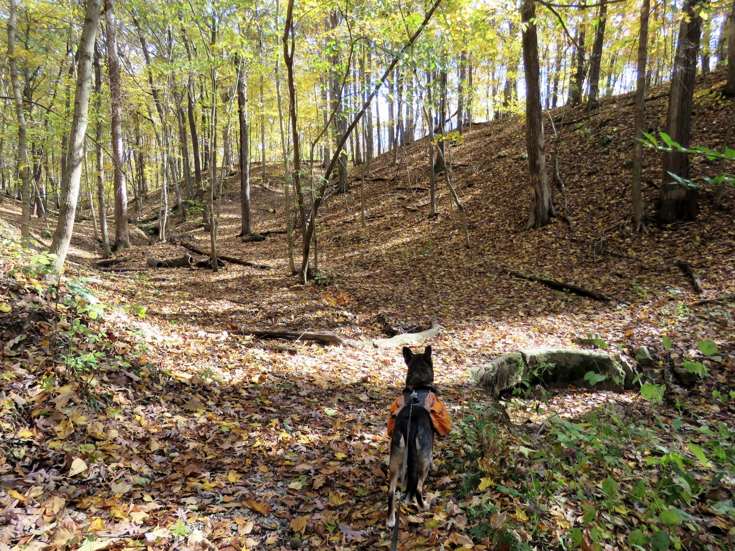
| Climbing back up out of the gorge. |


 |
| Down again. |


 |
| We turned left for the rugged way to Eagles Nest although it wasn't very rugged at all. |


 |
| Mooned by a bird. |
 |
| The trail becomes more of a footpath after this washed out bridge. |


 |
| We considered this a challenge. |

 |
| This gorge is much steeper and deeper than it looks and no way was I tightrope walking over that log (there was no evidence of a bridge at all) but slightly to the left ... |
 |
| ... we were able to walk right around the gorge to the other side. |
 |
| The trail comes out at a viewing platform with no view. |
 |
| Continuing on to the left of the viewing platform on a pretty ridge. |
 |
| Steps descend steeply ... |
 |
| ... to where we lost the trail in blow downs. It took some searching but we found it again. |
 |
| The trail continues along... |
 |
| ... Embarras River |
 |
| The 100 some steps up to Eagles Nest |

 |
| Not much of a view but a nice break spot nonetheless. |
 |
| Continuing on Acorn Avenue from Eagles Nest. |

 |
| Veering left on Shady Ridge. |

 |
| And on to Riverview. |
 |
| The Riverview Trail continues left just before the parking lot. |
 |
| I do not recall a sign but the trail is obvious. |
 |
| A sign a little farther in. |
 |
| There are several short side paths to the left for river views. |


 |
| At this sign the trail turns left on the park road briefly ... |
 |
| ... then back into the woods on the left. |
 |
| Coming up on the park road again ... |
 |
| ... the Riverview Trail continues left but ... |
 |
| ... that is where it enters the hunting area. I would have loved to have continued but not during hunting season so we turned right. |
 |
| Up the park road ... |
 |
| ... to a gated woods road on the left then ... |
 |
| ... down to Ridge Lake. |
 |
| Ridge Lake from the dam. |
 |
| Continuing on the park road. |
 |
| At the stairs on the left, turn right through the parking lot ... |
 |
| ... to the Family Trail. |
 |
| This trail leads through a pretty gorge ... |

 |
| ... to the Brick Pavilion where we crossed over the grass then the park road ... |
 |
| ... back to the Acorn Avenue Trail parking. |