Clear Creek State Forest - Pennsylvania Department of Conservation and Natural Resources
DIRECTIONS:
GPS Coordinates 41.32169, -79.07787
TRAIL MAP:
Clear Creek and Callen Run Tracts Brochure - Pennsylvania Department of Conservation and Natural Resources
HIKE DISTANCE: 10.4 miles
THE HIKE:
This was hike 2 of 2 on the return drive from Missouri to New Jersey and was by far my favorite of the entire trip. It was also my favorite of the three I have hiked in this area to date, the other two being Cook Forest State Park and Clear Creek State Park.
 |
| Walking out of the Shelter 5 parking lot across Route 949 to enter Clear Creek State Forest ... |
 |
| ... on the Beartown Rocks Trail. All trails are blazed red and/or orange. |
 |
| The trail follows along Clear Creek. |
 |
| Turning right on the Trap Run Loop. |
 |
| Trap Run |
 |
| It's unfortunate that you sometimes have to turn a blind eye (and blind nose) to natural gas drilling along the way. |
 |
| Back on Beartown Rocks Trail to... |
 |
| ... the parking lot at Beartown Rocks which gets busy. It's the only place I encountered other people the entire hike. |
 |
| Beartown Rocks |
 |
| People were coming down from the overlook just as we were going up so we had it to ourselves for a few minutes. |
 |
| Beartown Rocks Overlook |
 |
| Heading back down to explore some more of Beartown Rocks. |
 |
| Leaving Beartown Rocks on the Rocky Trail which isn't very rocky. |
 |
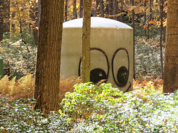
| And someone would enter why? |
 |
| Hiking the 1-mile loop trail through what was once a pioneer homestead in the late 1800s. |
 |
| After the gate, a parking lot, then the loop continues to the left. |
 |
| Coming out at Laurel Fields ... |
 |
| ... where the loop turns left at private property straight ahead. |
 |
| Stone fence rows that remain from the homestead. |
 |
| Taking the Laurel Trail to continue our loop in the eastern part of the forest. |
 |
| It's a steep descent along Clear Creek. |
 |
| The trails on this side of the forest appear not to get as much use as the trails on the western side from the beginning of the hike. |
 |
| At the Clear Creek Trail we turned right and would stay with this trail for the rest of the hike. |
 |
| There is deer fencing all along this section. |
 |
| Crossing Little Clear Creek Road at a small parking lot. |
 |
| Crossing three bridges just before the end of the hike. |
 |
| At Route 949 a left for a short road walk ... |
 |
| ... around the bend up ahead over Clear Creek then right to the parking lot. |


