Showing posts with label VA Tuscarora Trail. Show all posts

Saturday, March 21, 2026

Tuscarora Trail, VA and WV - Eagle Rock

ABOUT THE PARK: 
The Tuscarora Trail - Hike the Tuscarora
Tuscarora Trail Section 16 - Hike the Tuscarora

DIRECTIONS:
GPS Coordinates 39.10957, -78.47791
Eagle Rock Trailhead Parking

TRAIL MAP: 

HIKE DISTANCE:  7.8 miles

THE HIKE:
On my way to St. Louis, MO to clear out my mother's house.  She was recently placed in a nursing home (she's 90 years old) and I wanted to get the house in shape for when we come to visit her.  I am backlogged on my trip reports because I have been very, very busy purging, recycling, freecyling, donating, selling, getting the dryer, dishwasher, plumbing repaired, all while working.  This is hike on day 1 of the drive to St. Louis.
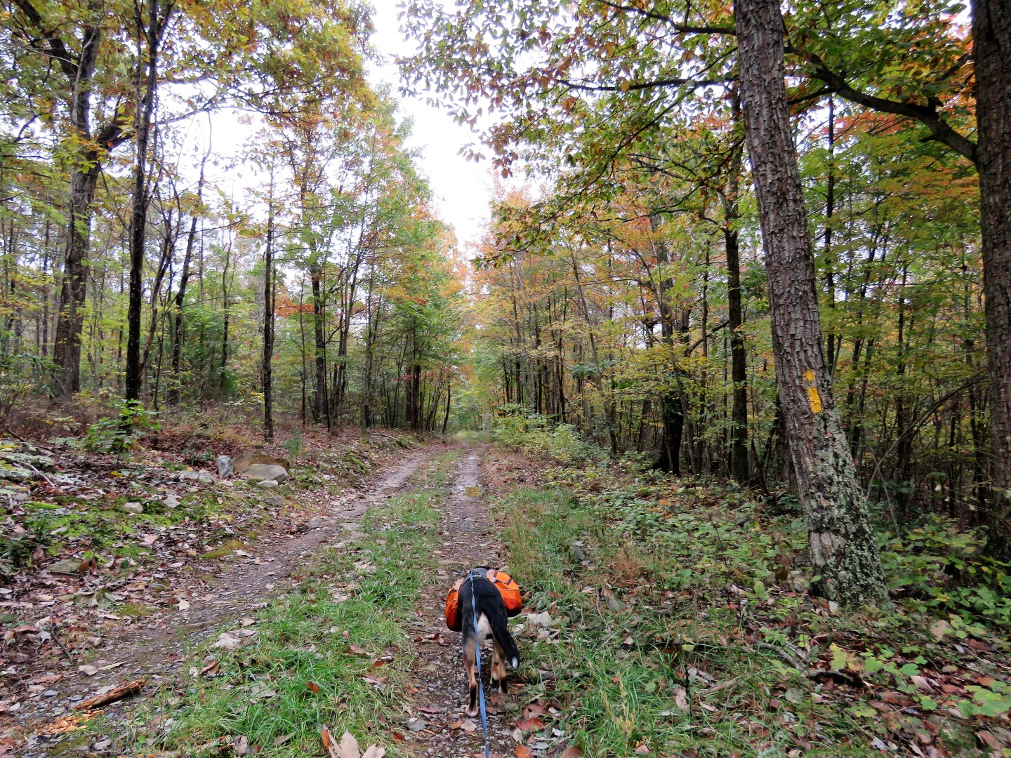
Heading north on the Tuscarora Trail.
It's about a mile to the top where the views start.
Some are seasonal views but they start to open up along the way,
Eagle Rock
This is where the rest of the world turns back for a 2-mile hike.  Not us, on we went.
The trail runs along a ridge on the VA/WV line so sometimes you are in VA, sometimes in WV, sometimes in both.
Coming up on a power cut ...
with views into Virginia on the right ...
... and views into West Virginia on the left,
We veered left leaving the Tuscarora Trail on a power cut service road.  The plan was to hike a loop.  Sometimes things don't turn out as planned.
West Virginia
This would be where we would have turned left to hike a loop but turns out it is private property.  Oh well, an out-and-back it is.
Heading back.
Now retracing south on the Tuscarora Trail.
Stopping back by Eagle Rock for another look at the views.

Saturday, October 27, 2018

George Washington National Forest, VA - Kepler Overlook


ABOUT THE PARK:
George Washington National Forest - USDA

DIRECTIONS:
GPS Coordinates 38.970117, -78.565305
Driving in, pass one gate (if closed park there and walk in) then turn left just before the second gate and park at the camp site.  That second gate is where the hike starts.

TRAIL MAP:
Map F: Great North Mountain-North Half (VA/WV) - Potomac Appalachian Trail Club
Powered by Wikiloc

HIKE DISTANCE:  6 miles (3 miles each way)

THE HIKE:
Followed the hike as described by Hiking Upward.
From parking at the camp site, walk back out to the road that you drove in on ...
... and turn left through the gate (that apparently was permanently closed at some point) ...
... on the yellow-blazed Cedar Crest Trail.
We had just driven through 5 hours of heavy rain but fortunately it stopped right when we started hiking.
Where the blue-blazed Tuscarora Trail crosses over, turn left.
Just beyond an old "road closed" gate ...
... a rock hop over Cedar Creek.  I was concerned the water might be too deep after so much rain but it was passable.
Cedar Creek
Crossing a little creek where a bridge would not have been necessary at all.
Yay, some blue sky peeking through.
Up to this point the trail had been mostly woods road but becomes a more rugged footpath after this turn.
It's always gradual uphill, never steep.
Blue-headed Vireo
A short side trail to an overlook on Tea Mountain.
The trail to the left led to a rock scramble so Brodie had to be tethered at the bottom while I climbed up.  He was not pleased about this.
A little bit of a view from the top.
Went around the rocks to the next left ...
... to an overlook Brodie could get to.
Unfortunately, still lots of low clouds from the remnants of Hurricane Willa passing through.
Continuing on the Tuscarora Trail.
Once on the ridge of Little North Mountain, it's a short distance to a clearing on the right with camping sites and ...
... Kepler Overlook where I think you should be able to see the Shenandoah Mountains but not with these low clouds.
It was still a pretty view.
Heading back the way we came.
A right on the yellow Cedar Creek Trail ...
... then a right back to the parking area.
Five more hours of driving ...
... to the motel in Charleston, WV.