

Austin T. Blakeslee Natural Area Brochure - Tobyhanna Township
DIRECTIONS:
GPS Coordinates 41.08315, -75.58443
 |
| Lower Parking Lot |
TRAIL MAP:
Austin T. Blakeslee Natural Area Brochure - Tobyhanna Township
HIKE DISTANCE: 3 miles
THE HIKE:
Driving home from hiking Bald Mountain at Lehigh Gorge State Park, I hadn't been on I-80 East very long when I happened to remember that the Austin T Blakeslee Natural Area was somewhere right off of I-80. I pulled off at the next exit to check on my phone and amazingly, I was at the correct exit and the natural area was only a mile or so away from the exit, only 20 miles from the hike I had just come from.
 |
| The trails start to the right of the kiosk. |
 |
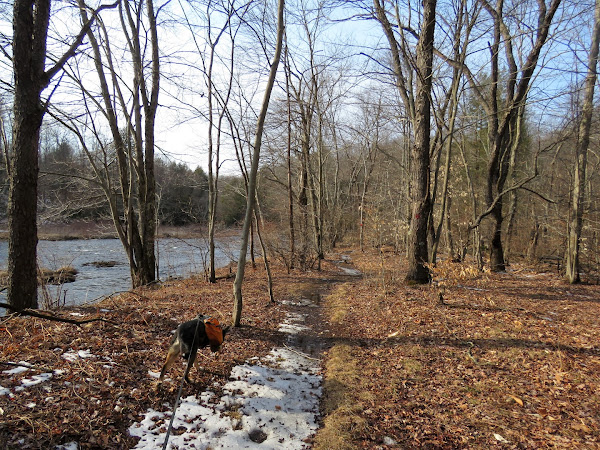
| There are no obvious trail markers at first so we headed left into the pines towards Tobyhanna Creek ... |
 |
| ... where we picked up the red-blazed Creek Trail. I found that throughout there are either a lot of trail marks in a row, none at all, sometimes sporadic and the format changes from diamonds to circles to faint paint. And there are lots of unmarked side trails but it's a small area so hard to get lost. |

 |
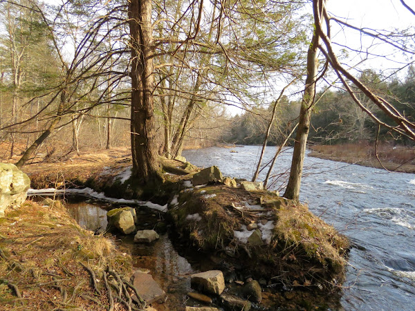
| Tobyhanna Creek |


 |
| Oh no! |
 |
| But turns out this is totally doable without a bridge so on we went. |


 |
| Tobyhanna Falls |
 |
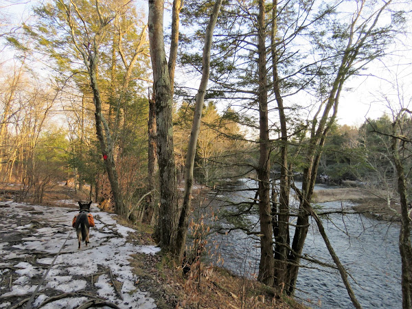
| We stayed with the red Creek Trail all the way to the end and would hit the blue trail on the way back. |
 |
| The orange Pine Trail would be for the return route also. |
 |
| At the Falls Overlook ... |
 |
| ... where it is actually kind of hard to get a clear view back at the falls where we had just been. |


 |
| Just after this rock hop the trail ends at private property ... |
 |
| ... so we headed back. |


 |
| At this huge pine, left on blue. |


 |
| After meeting back up with red for a bit, left on orange. |


 |
| Orange loops around and comes back out on red where we retraced, |

 |
| Back at the parking lot. |