ABOUT THE PARK:
Liberty Gap Trail - This is confusing because libertygap.org is now a roofing company but libertygap.org/blog still goes to information about the Liberty-Water Gap Trail. It appears that this trail was started, maybe even finished, but doesn't look as though it has been maintained.
DIRECTIONS:
GPS Coordinates 40.923184, -75.096768
 |
| The NYNJ Trail Conference map does not show any parking along the section that I was hiking but I found spots in Portland, PA right at the start of the Liberty- Water Gap Trail pedestrian bridge over the Delaware River. |
HIKE DISTANCE:
4.4 miles (2.2 miles each way)
THE HIKE:
Having just hiked the
Mount Minsi/Mountain Road Loop, it was only noon and I had taken a day off work to hike so I tacked on this hike that I always wanted to do but was too short of a section to warrant a trip.
 |
| Heading to the pedestrian bridge. |
 |
| The western end of the Liberty-Water Gap Trail on the Pennsylvania side of the Delaware River. |
 |
| On the left, Mount Minsi where we had just hiked, and Mount Tammany on the right. |
 |
| There aren't many of these trail markers. |
 |
| The trail follows a quiet residential street along the Delaware River with a wide shoulder for walking. |
 |
| Route 611 |
 |
| I thought we already were in New Jersey? That residential street merges on to Route 46 which is fairly busy and where things get really confusing. You need to cross over, presumably before the bridge over the Paulinskill River because just the other side of that bridge under the I-80 sign ... |
 |
| ... are Liberty-Water Gap signs that you would not see from the other side. I had a lot of trouble finding the trail and almost turned back then finally found it. So cross over, then turn right and go past the gravel driveway at the end of the guardrail. That driveway leads to a house. The trail will actually enter the woods a short distance beyond the driveway then loop around skirting the back of that yard. |
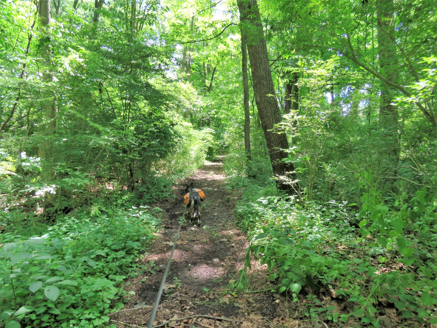
 |
| So after that driveway, watch closely for a woods road to the left with a trail marker. |
 |
| This will be the last marker for this section of the trail. |
 |
| This woods road loops around right into the yard of that house, which was really weird. Fortunately a woman was getting into her car and I asked her if that was the trail. She was very nice and said yes, the trail follows their property line around the back of their yard so it really feels like you are in someone's yard but she said it was fine. |
 |
| So you just follow the perimeter of the yard and the woods road continues. |
 |
| Following along the Paulinskill River. |
 |
| Coming up on I-80. |
 |
| And into a tunnel under I-80. |
 |
| It is quite creepy in here and it is pitch black. My cell phone flashlight did not help much. |
 |
| Coming out at the other end at a gate. |
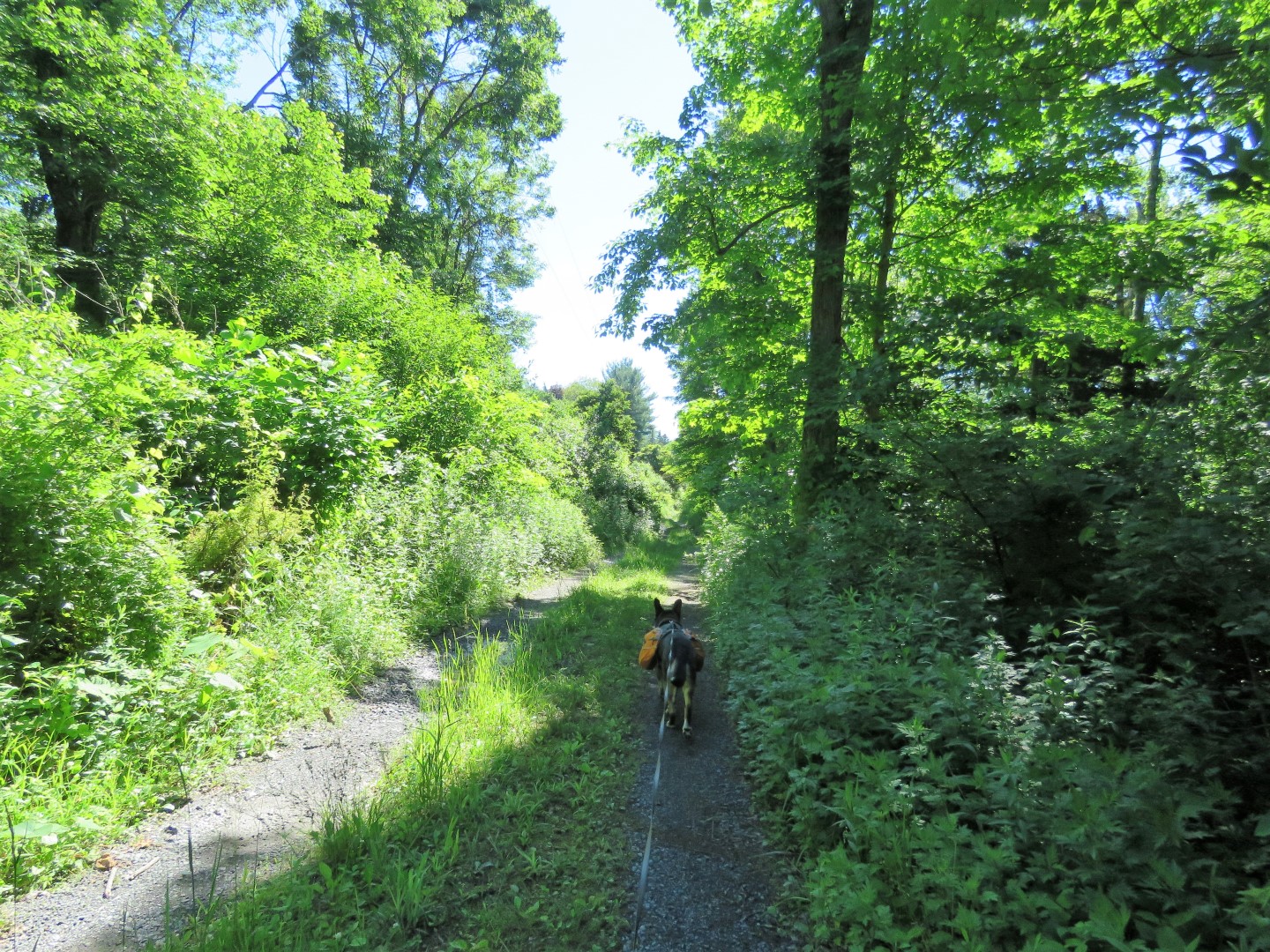
 |
| Now it's gravel road the rest of the way. |
 |
| Song Sparrow |
 |
| The gate looks daunting but you can get around it to the right. I would think it is just to keep cars out. |
 |
| Lots of tiger lilies along the way. |
 |
| Paulinskill River |
 |
| Heading back. |
 |
| This time when I stopped for a break I got out the nifty little flashlight my daughter-in-law's sister had given me for Christmas a few years ago. |
 |
| This did a great job lighting the way. |
 |
| Coming back into that back yard a man was now there and I stopped and spoke with him. He was also very nice and did say that they do get people using that trail and everyone gets concerned about going around their yard. He keeps that edge mowed so people can see where the trail goes back into the woods. |
 |
| Right on Route 46. |
 |
| Crossing Route 46 ... |
 |
| ... over the bridge ... |
 |
| ... then keeping left on that quiet residential street. |
 |
| Coming up on the pedestrian bridge. |