ABOUT THE PARK: While there is a $10 fee to enter the park at the main entrance, there is no fee to park at the Jenny Lane parking lot. When I passed by the main entrance just before 8:00 AM cars were already starting to line up when the lot doesn't open until 9:00 AM.
DIRECTIONS:
GPS Coordinates 41.74248,-74.254127
 |
| Jenny Lane Parking - Room for about 8-10 cars. |
HIKE DISTANCE: 11.5 miles
THE HIKE:
With temps reaching in the upper 90's in the New York metro region, it was supposed to run about 10 degrees cooler in Minnewaska State Park so that is where we headed. It was still hot but humidity wasn't too bad and it was quite nice to sit in the shade with a breeze. But moving, especially uphill, was hot. Most of the elevation gain is in the first part of this hike during the cooler part of the day, relatively speaking. It was already 75 degrees at 8:00 AM. At the end of the hike it turns out the temperature did reach 95 degrees. Fortunately the last half of the hike is mostly downhill.
 |
| Starting at the gate from the parking lot. |
 |
| Just up ahead around the bend ... |
 |
| ... we turned right on the pink trail. |
 |
| The Merlin Bird ID app picked up the sound of three different birds at one time. A little beyond this point there was no internet service so I didn't bother with the app because although it still works, it can't pinpoint the location so it gives strange results. |
 |
| Just beyond an intersection with a kiosk, right on ... |
 |
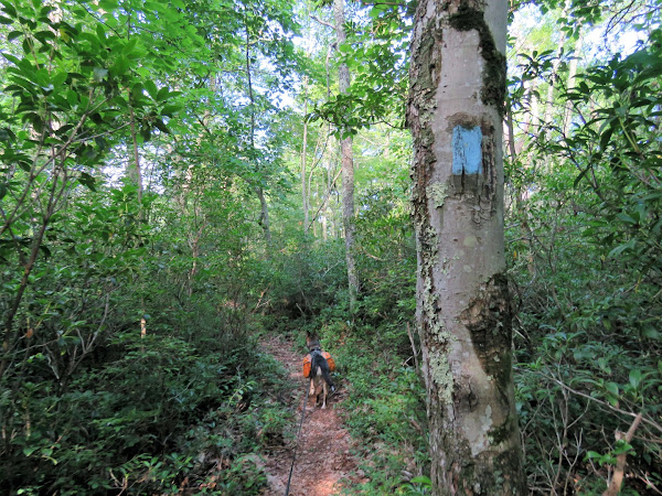
| ... the blue Jenny Lake Footpath which is also the Shawangunk Ridge Trail. |
 |
| Crossing Route 44/55. |
 |
| When I last hiked this trail in October 2010, water was gushing through this area. |
 |
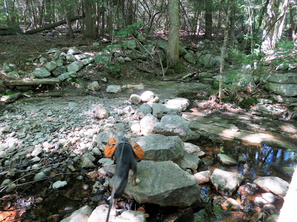
| Today it was bone dry and the rock hops weren't needed. |
 |
| The trail is narrow with dense vegetation on either side. This makes me more vigilant about watching for bears since there is no place to go if encountering one head on but that was not what we encountered. |
 |
| All of a sudden I saw Brodie's head go down and his ear perk up - a clear sign he has made contact with some type of critter in the trail, usually a frog. I have lightening fast reflexes when it comes to that so I instantly yanked him back and when I saw what he had touched with his nose, I yelled "Oh %$^#!!!" |
 |
| Brodie had kissed a black phase timber rattlesnake. Thank goodness this snake did not bite but his revenge was not moving and making us stand in the trail for a good 15 minutes before slowly slithering off. With the dense vegetation there was no getting around him. |
 |
| I waited until the vegetation stopped quivering to be sure he was far enough away then grabbed Brodie by the handle on his backpack and ran past that point as Brodie, of course, tried to dive into where the snake had just left. With all of the hiking I do, believe it or not, this was my first timber rattlesnake encounter. |
 |
| Blueberries are ripe. |
 |
| We only encountered a few trail runners on this trail, other than that it was quiet and peaceful. |
 |
| It seems most people who use this trail turn left on the Blueberry Run Footpath because ... |
 |
| ... beyond that point the Jenny Lane Footpath becomes more overgrown. |
 |
| Eastern Towhee |
 |
| At the end of the Jenny Lane Footpath we turned right on the Lower Awosting Carriage Road. |
 |
| Peters Kill looks awfully dry. |
 |
| At the Awosting Carriage Road we turned left briefly ... |
 |
| ... for a full length view of Lake Awosting. |
 |
| These little neon blue (much more vibrant in person) damselflies where everywhere in Lake Awosting. |
 |
| Now looping around the lake counterclockwise. |
 |
| Passing the ranger's cabin. |
 |
| The beach on the other side of the lake. |
 |
| Cedar Waxwing |
 |
| The carriage road alternated between full sun and shade. It was HOT in the sun. This is the far end of the lake where the carriage road continues on a bit before looping around to the other side. |
 |
| Now on the opposite side of the lake. |
 |
| Many spots along the lake to take a scenic break and we were taking lots of them. |
 |
Now passing through beach we had seen from the other side where it was getting very busy. We hadn't encountered many others up to this point but that would change now. The bicyclists had arrived early and there was a pretty steady stream of walkers arriving as we continued around the loop.
|
 |
| Great Spangled Fritillary |
 |
| The carriage road leaves the lake for a bit going slightly uphill ... |
 |
| ... for views of the lake from higher up. |
 |
| An overlook of Lake Awosting with the Catskills in the background. |
 |
| After finishing the loop, continuing on the Upper Awosting Carriage Road. |
 |
| The original plan was to take this trail to Rainbow Falls but in the heat it would mean a steep descent and steep ascent up the other side with probably no waterfalls with the lack of water so we kept straight. |
 |
| This was probably break number 10. |
 |
| Turning left on the Blueberry Run Trail. |
 |
| Then right on the yellow Mossy Glen Trail. |
 |
| Peters Kill only had a little bit of water, most of it stagnant. |
 |
| Dry Peters Kill |
 |
| The Mossy Glen Trail comes out at the Lower Awosting Carriageroad where we turned right ... |
 |
| ... then kept left through the parking lot ... |
 |
| ... to the High Peters Kill Trail. |
 |
| After a short distance this trail crosses Route 44/55 ... |
 |
| ... but we took a few steps to the left and picked up that pink trail from the beginning of the hike on the right. |
 |
| This trail goes for a mile past where we had turned on the Jenny Lane Footpath back to the parking lot. |
Wildflowers seen on this hike:


