ABOUT THE PARK:
DIRECTIONS:
GPS Coordinates 41.29739, -74.02761
 |
| Huge Anthony Wayne Recreation Area parking lot - I parked at the far southern end. |
TRAIL MAP:
HIKE DISTANCE: 9.5 miles
THE HIKE:
I planned this hike based on the area closures update map, above, on trails all within the open area. Turns out there were still several closure signs posted along the bike trail even though most of what I hiked shows as open on the map. Very confusing! I decided to proceed based on my plan as it was the only way I was going to be able to manage this hike between rounds 5 and 6 of chemo in addition to it becoming an unseasonably warm day at 85 degrees. The much easier bike trail accounted for 5 miles and I was going to need that to offset the more difficult trails. I would have turned back had I run into trail damage but I never did. Why the closure signs are still posted on the bike trail is a mystery because that trail was in fantastic shape with no storm damage whatsoever.
 |
| From the far southern end of the first parking lot, we crossed directly over on to the red dot on white trail showing as open on the map so the DO NOT ENTER must refer to vehicles? |
 |
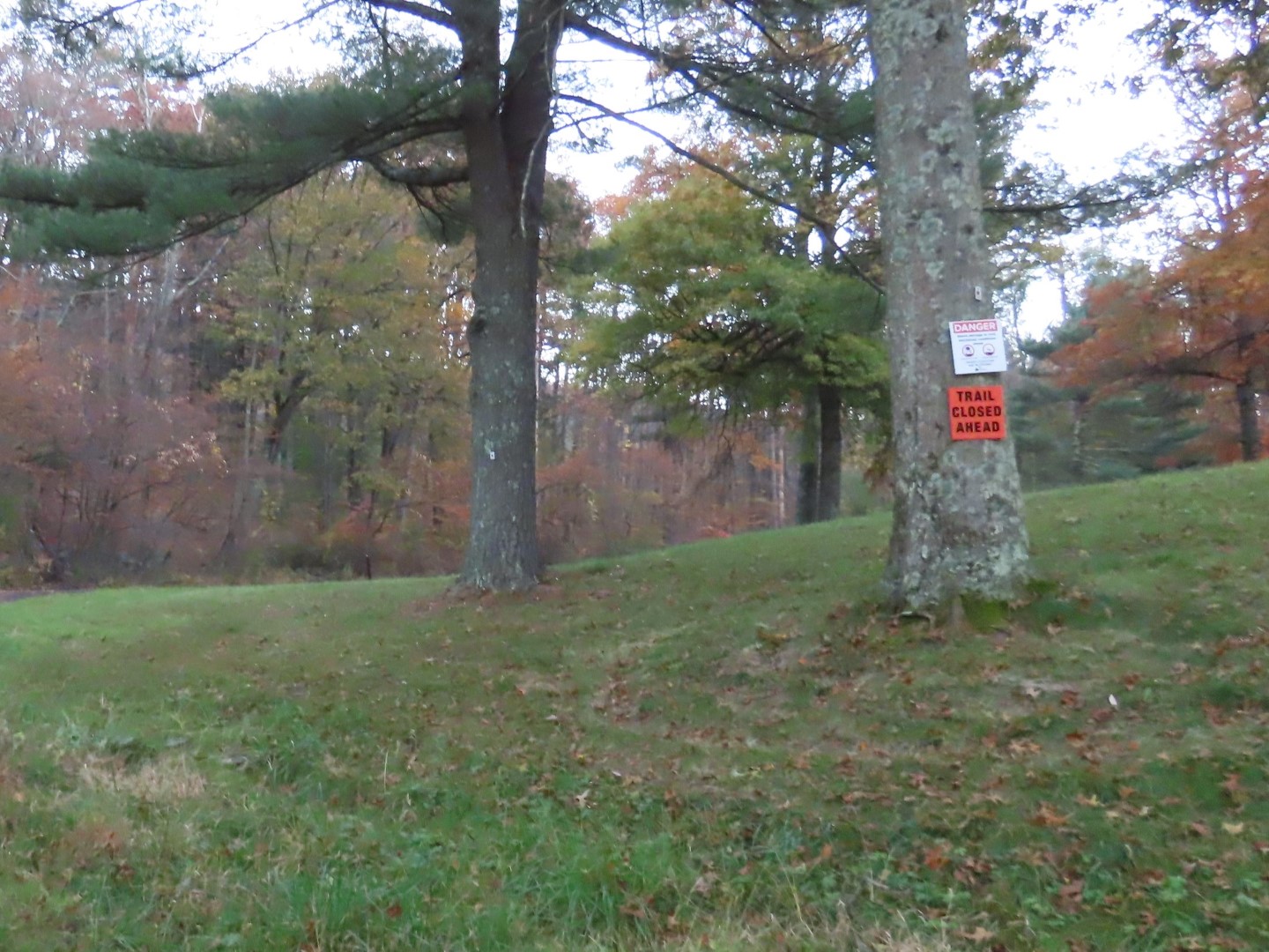
| Again, still on the red dot on white trail that is supposed to be open yet trail closed ahead? |
 |
| Looks fine so me to on we went. |
 |
| The bike trail is quite nice and scenic. |
 |
| These trail closures were at every marked trail crossing. We continued on as planned. |
 |
| Taking yellow here would mean up and over Horn Hill which I have hiked previously and wanted to avoid on this hike. The bike trails allow you to go around Horn Hill. |
 |
| Coming up on yellow north of Horn Hill ... |
 |
| ... where we turned left on yellow. Straight ahead does go to a closed area of the park so I would not have gone that way regardless. |
 |
| Now it's the yellow Suffern - Bear Mountain Trail all the way to Pingyp. |
 |
| Up and over an unnamed hill. |
 |
| Looking back at a very steep scramble down. |
 |
| Descending the unnamed hill ... |
 |
| ... to a left on the 1779 Trail. |
 |
| After a short distance yellow leaves to the right uphill to ... |
 |
| ... The Pines. But where are the pines? Not a one in sight. |
 |
| The Pines |
 |
| Descending very steeply from The Pines on leaves with acorns hidden underneath. It's like going steeply downhill on marbles. |
 |
| A small creek crossing at the bottom, then ... |
 |
| ... up again on the backside of Pingyp. Coming up Pingyp the other way (south to north) involves the most difficult vertical rock face climb in Harriman, something I have no desire to do in this lifetime. With my fear of heights, NO WAY! |
 |
| The Hudson River coming into view. |
 |
| But the climbing is not done yet. |
 |
| Heading over to the second viewpoint. |
 |
| We only made it half way to the second viewpoint. From here the trail drops straight down over those rocks. Not worth the risk with Brodie along. After getting him all the way down (and it was far down) I would have to get him all the way back up and that was not happening so back we went. |
 |
| Heading back. |
 |
| I was happy with the views at the first overlook so it was still worth the hike. |
 |
| The Palisades Interstate Parkway down below. |
 |
| After the trail turns away from the views and reaches another high point, right on an unmarked woods road. |
 |
| It's clear and easy to follow. |
 |
| There are more views of the Hudson River in the distance along the way. |
 |
| It's a much smoother way down than the descent on the yellow trail. |
 |
| The woods road eventually comes out on the 1779 Trail where we turned right. |
 |
| I believe this was once an information sign about the 1779 Trail but it's pretty much blank now. Just beyond this sign... |
 |
| ... the 1779 Trail turns right and ends at the gate. We turned left on an unmarked woods road where 1779 turns right. |
 |
| After this creek crossing ... |
 |
| ... the woods road becomes very rocky and eroded and a little more difficult to follow but it was doable. |
 |
| Once up on top, it become easier to follow. |
 |
| Back on the bike path. No closure signs coming from this way. |
 |
| Here they are again! |
 |
| Retracing back. |