

Arcadia Management Area - Rhode Island State Parks
DIRECTIONS:
GPS Coordinates 41.58969, -71.75827
 |
| Escoheag Trail Trailhead Parking at Plain Road |
TRAIL MAP:
There isn't a trail map that I could find. The closest thing would be on Trailforks:

DISTANCES:
I had this trip planned months ago as an add-on on the way home from an REI hiking trip in Maine that I had registered for. REI then cancelled all of their adventure trips but I kept the Rhode Island part and so glad I did - it was so much fun!
Friday, June 27, 2025
HIKE: Long Pond Woods and Ell Preserve - 5.2 miles
HIKE: Arcadia Management Area Stepstone Falls - 6.2 miles
HIKE: Turner Reservoir Trail - 3.4 miles
Saturday, June 28, 2025
HIKE - Colt State Park Hiking Trails - 1.7 miles
ZUMBA - In-person Zumba with Nellie G
BIKE - Easy Bay Bike Path with Colt State Park Bike Trails - 32.4 miles
THE HIKE:
 |
| Heading down Plain Road from the parking area. |

 |
| Keeping left when the Barber Trail goes right. |
 |
| When Plain Road bends to the right, left on Tanner Cutoff but there will be no blazing and no sign until a good distance in. |

 |
| Trailforks shows this trail but Gaia does not. It will meet up with the trail on the Gaia app eventually. |
 |
| Tufted Titmouse |

 |
| Great Crested Flycatcher |
 |
| A Tanner Cutoff sign! |
 |
| There is a massive blow down but a path to the left ... |
 |
| ... comes out on an old road then veers back into the woods beyond the blow down. |
 |
| So people think if you package your garbage up neatly it's OK to leave it there? NOT! |

 |
| Blue and yellow blazes appear. |


 |
| Stepstone Falls |

 |
| You can drive to Stepstone Falls but why when you can hike there? |
 |
| Crossing the bridge over ... |
 |
| ... Wood River. |
 |
| A white-blazed path on the other side is the 77-mile long North-South Trail that runs the length of Rhode Island from the Atlantic Ocean to the Massachusetts border. |
 |
| This crosses back over to the other side of Wood River on a footbridge. |
 |
| A North-South Trail sign. |


 |
| American Goldfinch |
 |
| Eastern Kingbird |
 |
| Ben Utter Trail is blazed yellow. |


 |
| I believe blue might be the Escoheag Trail but it's hard to tell without a trail map. |

 |
| The trail veers left as Tanner Washout, a hiking only trail. |
 |
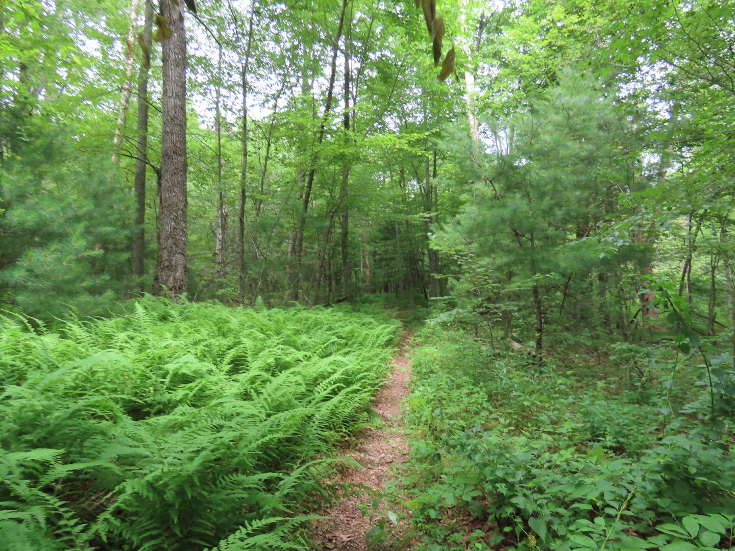
| This is a very pretty trail along Wood River. |


 |
| Coming out on Plain Road ... |
 |
| ... looking back at the trail sign with names. Still confused as to which trail is which color. |
 |
| A short distance to the right on Plain Road ... |
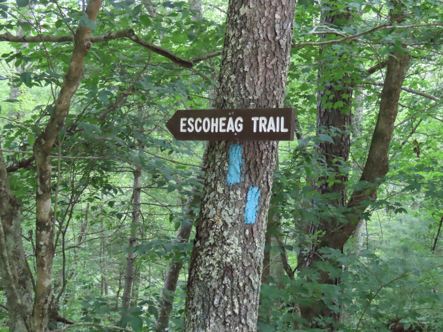 |
| ... to left on the, yes I suppose it is blue, Escoheag Trail. |
 |
| And it is still also the white North-South Trail. |


 |
| Staying with white the rest of the way. |
 |
| Damselfly |
 |
| I noticed this sign off to the right. |
 |
| Seems to be an old cemetery with unmarked graves. |


 |
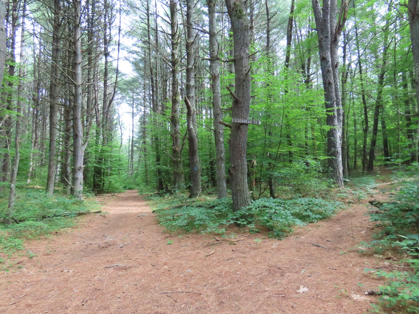
| Still on the Escoheag Trail even though it is blazed white now? Without a map the trails are very confusing. Thank goodness for the app that at least shows where you are. |

 |
| The trail descends along pretty ledges. |
 |
| Coming out at a parking area ... |
 |
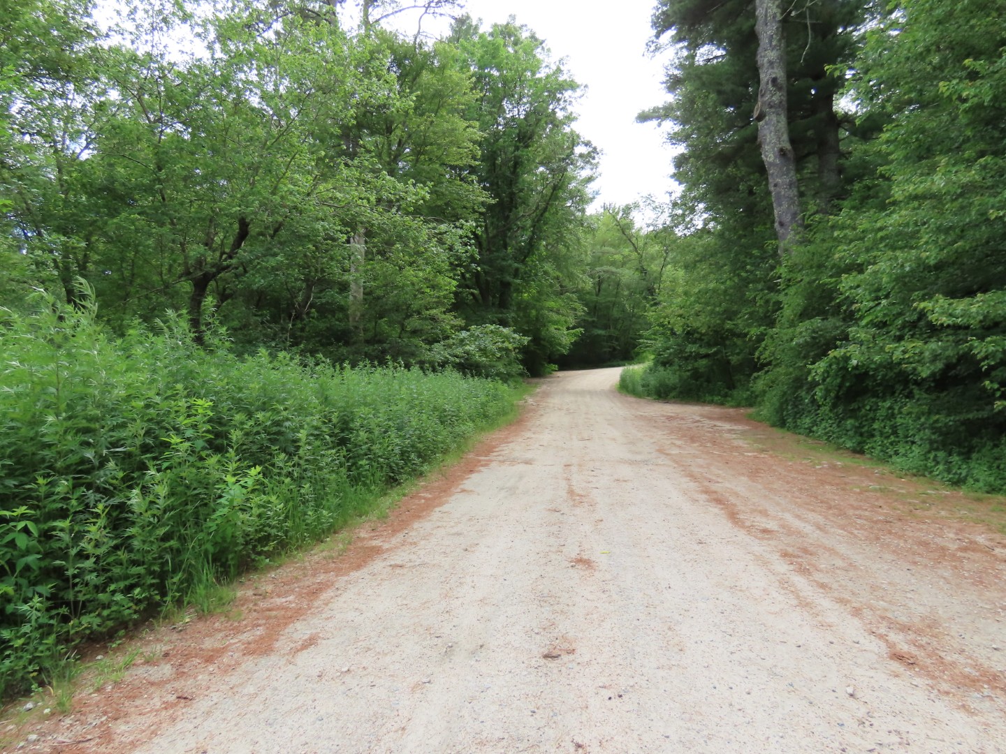
| ... where the Escoheag Trail is a gravel road ... |
 |
| ... back to the parking area. |