

ABOUT THE PARK:
Palisades Interstate Park - Palisades Interstate Park Commission
DIRECTIONS:
GPS Coordinates 40.87039, -73.95225
 |
| Allison Park parking lot, which turned out to be an excellent choice. Lightly used parking lot (versus crowds everywhere else) and restrooms! |
TRAIL MAP:
Hudson Palisades Trails Maps 108 - New York New Jersey Trail Conference

HIKE DISTANCE: 7.7 miles
THE HIKE:
 |
| From the parking lot, the first glimpse of wildlife on this urban hike. |
 |
| And views right off the bat. |
 |
| To the north. |
 |
| To the south, the George Washington Bridge over the Hudson River and New York City. |
 |
| Heading north, find the aqua blazes of the Long Path which runs alongside the Palisades Interstate Parkway. |
 |
| But you can forgive all of that traffic noise because it is so beautiful and scenic and you still get real hiking trails. |

 |
| Side trails lead to views of the Hudson. |
 |
| From the Long Path, you can thumb a ride and get gas. |
 |
| A view of Ross Dock from up above. We'll be down there in a little while. |

 |
| I did the hike just north of this one exactly one year ago this day (11/8/14) by myself because it was during that month Shawnee was out of commission with vestibular disease. At the time I could not even imagine that one year later she would be back with me doing the next section. |


 |
| Ross Dock directly below. |


 |
| Some trees were still green and just starting to change when peak foliage had already come and gone everywhere else. The Palisades are always late to peak. |
 |
| Getting closer to the George Washington bridge. |
 |
| More wildlife! I was very careful not to spook him because I didn't want him running into the Palisades Parkway. |


 |
| Right above the GWB. |
 |
| This unmarked trail loops away from the Long Path but meets back up. |
 |
| Back on the Long Path, left through a fenced tunnel. |

 |
| But unfortunately we had to turn back because Shawnee can't walk on grating like that. Not worth risking an injury to her paw pads. |
 |
| A look back at the tunnel. |
 |
| We retraced to the Carpenter's Trail which consists of very STEEP flights of uneven stone steps. I had to guide Shawnee all the way down step by step with the handle on her harness so she wouldn't lose her balance and tumble down. |
 |
| I didn't count but by the time we reached the bottom, I would say a few hundred steps at least. |


 |
| Finally things start to even out some. |

 |
| Still switchbacking down. |
 |
| If you think you are finished with steps and it's a road walk at this point, wrong! Head straight down... |
 |
| ... into the tunnel. |


 |
| With yet more steps down. But these are deeper and more even. |
 |
| At the bottom you can keep left towards Ross Dock or... |
 |
| ... turn right for an out-and-back to the GWB. |


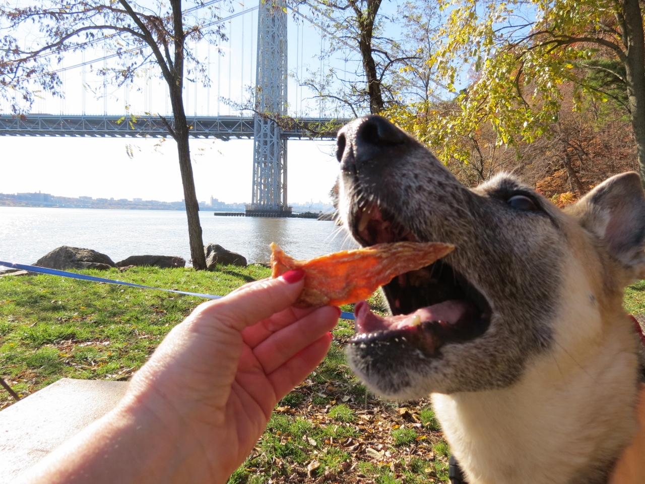 |
| Stopping for a break at a picnic spot. |


 |
| Heading under the GWB. |


 |
| The white-blazed Shore Trail becomes a dirt footpath after the parking lot. |
 |
| Lagging behind because there was sooooo much to sniff. |

 |
| Some more steps up... |

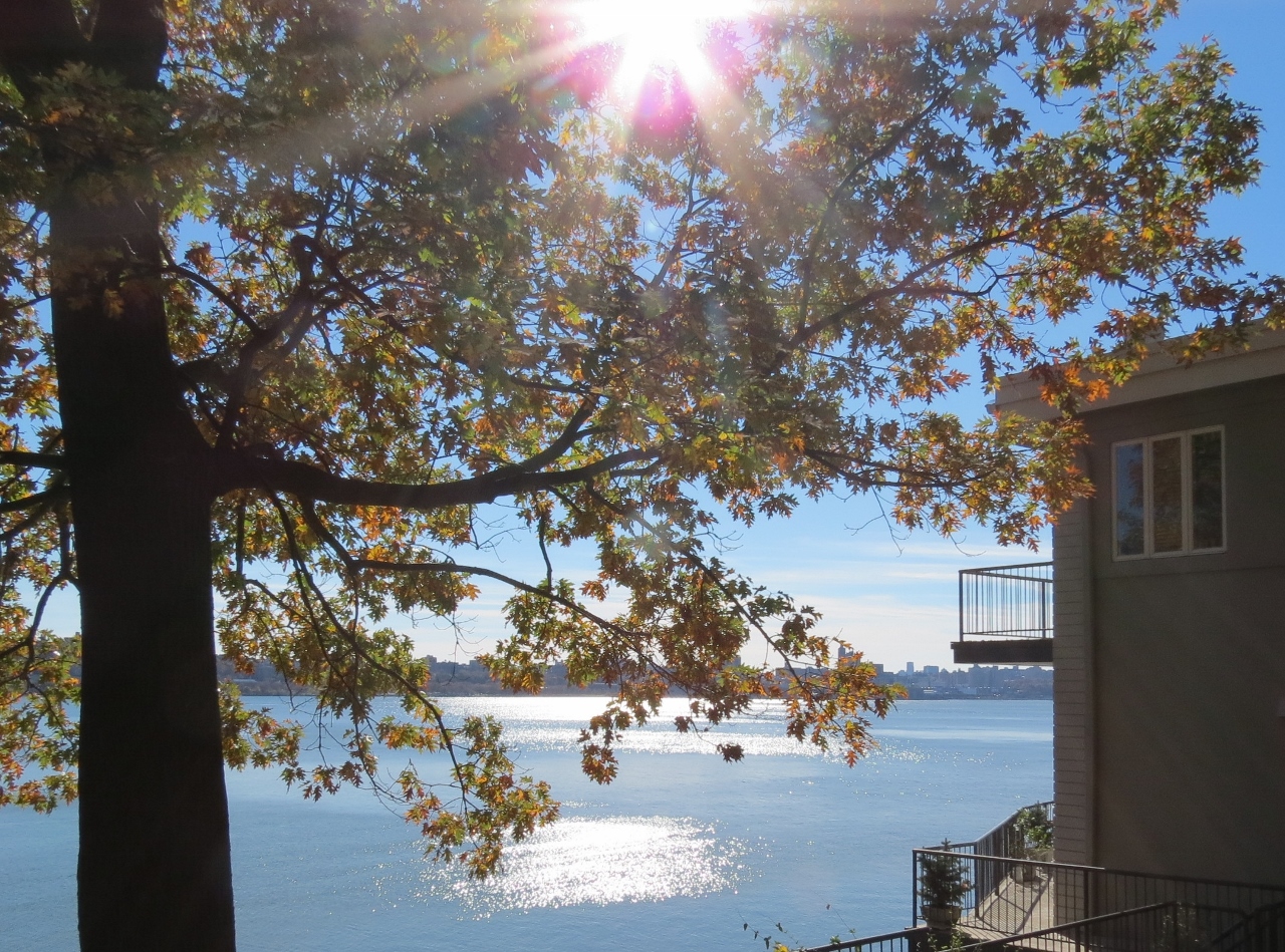 |
| ... to a residential street. How cool would it be to live here? |
 |
| Seems like that was pretty much the end so we turned around and headed back. |
 |
| Traffic on the GWB. |


 |
| Falling leaves. |
 |
| One lone little flower. |
 |
| Passing by the Carpenter's Trail that we had come down on. |
 |
| Ross Dock |


 |
| I had taken pictures of Ross Dock from up there. It doesn't look that high up from here but those steps say otherwise. |
 |
| St. Peter's College where we will be passing by once back at the top. |

 |
| Continuing on the Shore Trail. |


 |
| That Geico gecko is everywhere. |
 |
| Looking back at the GWB. |

 |
| Coming up on the Englewood Boat Basin and turning left on ... |
 |
| ... the Dyckman Hill Trail which ... |
 |
| ... follows along the road on a sidewalk. |

 |
| Englewood Boat Basin |
 |
| The yellow-blazed Dyckman Hill Trail leaves the road to the left. |
 |
| Waterfalls |
 |
| Ascending along the road. |


 |
| And yes, yet more steps. |
 |
| Another tunnel! |
 |
| Back out on the road. |

 |
| Taking a break in a little nook off of the road. |
 |
| Just before the Palisades Interstate Parkway, a left on the Long Path. |


 |
| At times the long path goes right along the parkway. |

 |
| St. Peter's College on the left. |
 |
| A neat walkway above the college road. |
 |
| After a short road walk with almost no traffic (access road to Allison Park), a left into Allison Park. |


 |
| At least I did not have to bring the SEVEN plastic water bottles I picked up with me since the park has recycling containers. |