ABOUT THE PARK:
There is no information other than AllTrails stating 1 mile of trails. There is much more than that. Using Dan and Laura Balogh's notes along with various tracks I pieced together in the Gaia app I set out to hike as many of the blazed trails as possible.
DIRECTIONS:
GPS Coordinates 41.039400, -74.618701
TRAIL MAP:
 |
| The map in the kiosk does not show all of the trails. |
Powered by Wikiloc
HIKE DISTANCE: 3.7 miles
THE HIKE:
I needed to stop in at the Kittatinny Valley State Park office for some information on a new trail I wanted to hike but since I hike at the crack of dawn and they don't open until 9:00 AM I had a couple of hours to kill so I hiked these trails about 15 minutes away.
 |
| From the second parking lot backtrack just a few steps on the park road to the blue trail. |
 |
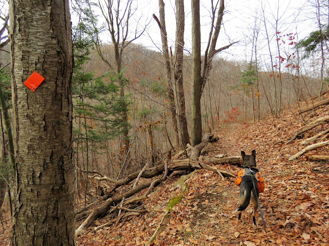
| Passing orange which we would take from this point later. |
 |
| Blue turns right with green; we turned left on green. |
 |
| When green turns right, we turned left on yellow. |
 |
| Yellow descends a bit then ascends and loop around the top of Sparta Mountain. |
 |
| At the end of yellow, left on green ... |
 |
| ... to a huge flat boulder ... |
 |
| ... at the overlook of Lake Mohawk. |
 |
| Leaving the overlook we turned left on green then left on ... |
 |
| ... sort of a yellowish/green? blazed trail. |
 |
| Some benches along this trail. |
 |
| This trail descends steeply at times. |
 |
| Left on blue where we retraced what we hiked earlier for just a short distance to ... |
 |
| ... left on orange. |
 |
| Orange descends to a picnic pavilion at the park road. We turned left on the park road where it changes from paved to gravel. |
 |
| The gravel road follows along Sparta Glen Brook. |
 |
| A picnic table at the end of the gravel road. |
 |
| Heading back. |
 |
| The road becomes paved at the pavilion. |
 |
| Coming back up on the parking lot. |


