Saturday, January 30, 2021

Great Swamp National Wildlife Refuge, NJ - Pleasant Plains Road

ABOUT THE PARK:
Great Swamp National Wildlife Refuge - U.S. Fish and Wildlife Service (be sure to check web site for hunting closures)
Wildlife Tour Route Brochure (did not see any numbered posts to correspond to the brochure)
Dogs are not allowed on trails but they are allowed on Pleasant Plains Road and in the parking lots.

DIRECTIONS: 
GPS Coordinates 40.709284, -74.502932
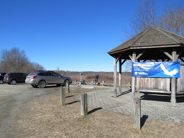
Bluebird Parking Lot

TRAIL MAP:
Great Swamp National Wildlife Refuge Map - U.S. Fish and Wildlife Service

HIKE DISTANCE:  2 miles (1 mile each way)

THE HIKE:

Turning right on Pleasant Plains Road from the parking lot.
It's a gravel road, somewhat chunky gravel but not all that unpleasant to walk on.
A huge old tree down.
And another old tree down.
I was surprised at how many cars were driving along on a 27 degree day in the dead of winter with really no wildlife to be seen on the wildlife tour.  When they actually went 15 miles per hour it wasn't that bad but some inconsiderate clods sped by and this is what that looked like.
Coming up on the overlook to the right.
This is where all those cars go.
Nobody home at the overlook today.
Continuing on ...
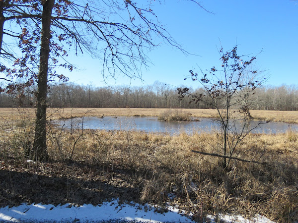
... a pond on the left ...
... with a balloon way over at the other end.
A woods road would have led to that balloon and I totally would have gone to get it but as is the case with many of the federal wildlife refuges, area closed (and there are lots of those) means area closed so couldn't go there to get the balloon.
Coming up on a bridge over ...
Great Brook
After the bridge the road becomes paved but my 1-mile alert dinged on my app so time to turn back.  The 2.6 miles I did the weekend before was a bit too much too soon so I needed to back it down to 2 miles and no more for now.
Heading back through the north gate.
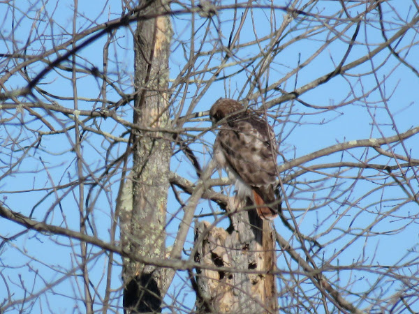
Some wildlife!  A red-tailed hawk.
I lost sight of him when he flew into a different tree.
But he changed trees once more so I got to see him show off his red tail.
Coming back up on the overlook.
It was less crowded this time ...
... but still nothing to see.
Back at the parking lot.

Sunday, January 24, 2021

Cheesequake State Park, NJ - Perrine Road Loop

ABOUT THE PARK:
Cheesequake State Park - New Jersey Department of Environmental Protection
This park charges an entrance fee between Memorial Day and Labor Day

DIRECTIONS:
GPS Coordinates 40.441165, -74.270801
Hooks Creek Lake Parking Lot

 
TRAIL MAP:
Cheesequake State Park Trail Map - NJ Department of Environmental Protection
Click here for track.

 
HIKE DISTANCE:  2.6 miles

THE HIKE:
It's been 7 1/2 weeks since total hip replacement surgery.  I have been doing a lot of doctor ordered walking but sidewalks get old fast.  Time for a little hike.  I am not using a cane at all any more and there is just a little bit of a limp at times but it gets better every day.  I am still not allowed on trails so I need to stay on smooth surfaces.  The trails in this park are too insanely crowded anyway.  As an alternative, we did a family hike on a stroller-friendly loop of paved and packed sand roads and paths where there weren't nearly as many people and lots of space to stay apart when we did encounter others. 

The grandchildren came along all bundled up on this cold, windy day.
We were also accompanied by Cheyenne,  the little brown dog I am dog sitting, granddog Sebastian and of course, Brodie, who hasn't hiked in 2 months. He stayed with the grandkids for 6 weeks and has only been back home for a little over a week.  He gets to go on my walks with me now but I don't think he counts that as hiking.
We continued through the parking lot towards the crabbing bridge.
So much better than walking in residential areas.
Up ahead is the trailhead parking where we did not park knowing it would be packed.
We came out at the trailhead lot, crossed over the park road and continued left on ...
... a path parallel to the park road which leads all the way back to Hooks Creek Lake parking.