

Cuyahoga Valley National Park - National Park Service
DIRECTIONS:
GPS Coordinates 41.28951, -81.56377
 |
| Red Lock Trailhead |
TRAIL MAP:
 |
| I can no longer find this trail map online. I had printed it out a few years ago. There is an error on the map. I drew in the actual trail in orange. |
HIKE DISTANCE: 6.1 miles
THE HIKE:
As part of the drive-and-hike from New Jersey to Missouri, this is the third hike I have done at Cuyahoga Valley National Park in Cleveland, OH because it is a good no hunting option for fall hiking.
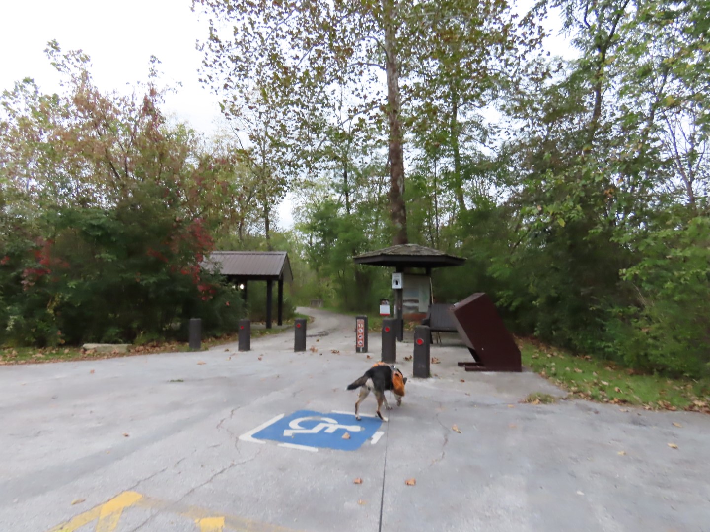 |
| Taking a short connector trail from the parking lot to the Ohio &Erie Canal Towpath Trail. |


 |
| Ohio & Erie Canal Towpath Trail |
 |
| Cuyahoga River |
 |
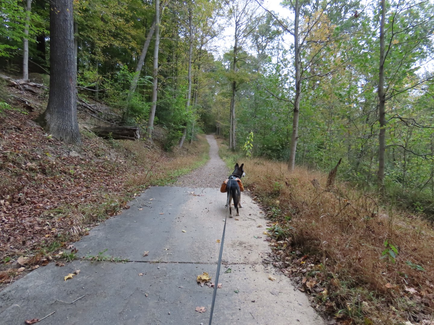
| Right across the bridge on the Old Carriage Trail. |


 |
| It alternates from paved to gravel for a bit before becoming all gravel. |


 |
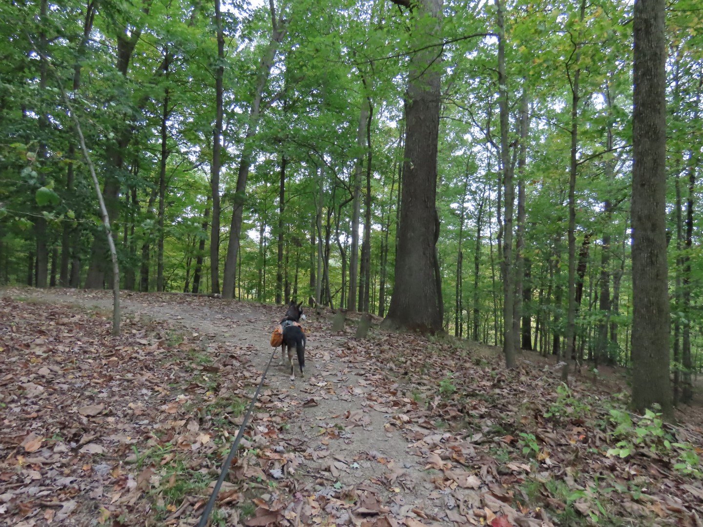
| At this point the trail exits at the park boundary heading towards homes. I thought I had missed something and according to the map and app I had so I backtracked and found the trail shown on the map but it was not clear like the trail had been up to this point. |
 |
| It led to this bridge abutment where the map shows the trail crossing over. That obviously is not happening so I headed back to where I was. |
 |
| Turns out the trail does continue out of the park then loops sharply to the left ... |
 |
| ... back into the park. |
 |
| Looking back at that bridge abutment way over on the other side. |


 |
| A black squirrel! I do recall having seen them in an adjacent area previously. |


 |
| Heading to the overlook. |

 |
| The trail loops around in a circle ... |
 |
| ... but there was no overlook to be found. |
 |
| Heading back to continue right on the trail. |
 |
| Coming back out on the Ohio & Erie Canal Towpath the other side of the bridge where we turned left. |


 |
| Passing by where we had started the Old Carriage Trail. |


