

Dry Brook Ridge Wild Forest - New York Department of Environmental Conservation
DIRECTIONS:
GPS Coordinates 42.07044, -74.57362
 |
| Dry Brook Ridge Trailhead Parking - I was the only one actually hiking the ridge. Everyone else was going the opposite way to the Balsam Lake Mountain fire tower. |
TRAIL MAP:
Dry Brook Ridge Wild Forest Trail Map - New York Department of Environmental Conservation
Central Catksills Trail Map 142 - New York New Jersey Trail Conference
HIKE DISTANCE: 9.9 miles
THE HIKE:
This hike is two weeks after chemo round 2. The oncologist was very pleased that I worked my way to hiking in the Catskills after round 1 and encouraged me to continue that so I decided to bump the distance up a bit this time.
 |
| Trail access to the ridge is to the right of the kiosk. |

 |
| Signing in at the register. |
 |
| Seems a lot of people come this way in error. There are more notes than what is shown here. |
 |
| We did the fire tower the last time. This time it's the ridge and we ran into nobody else the entire hike. The fire tower is the main attraction but I prefer the solitude of the ridge. |


 |
| Up and down a small mountain. |


 |
| Dry Brook Ridge Shelter |


 |
| Now ascending the ridge, steeply at times but never any scrambles. |


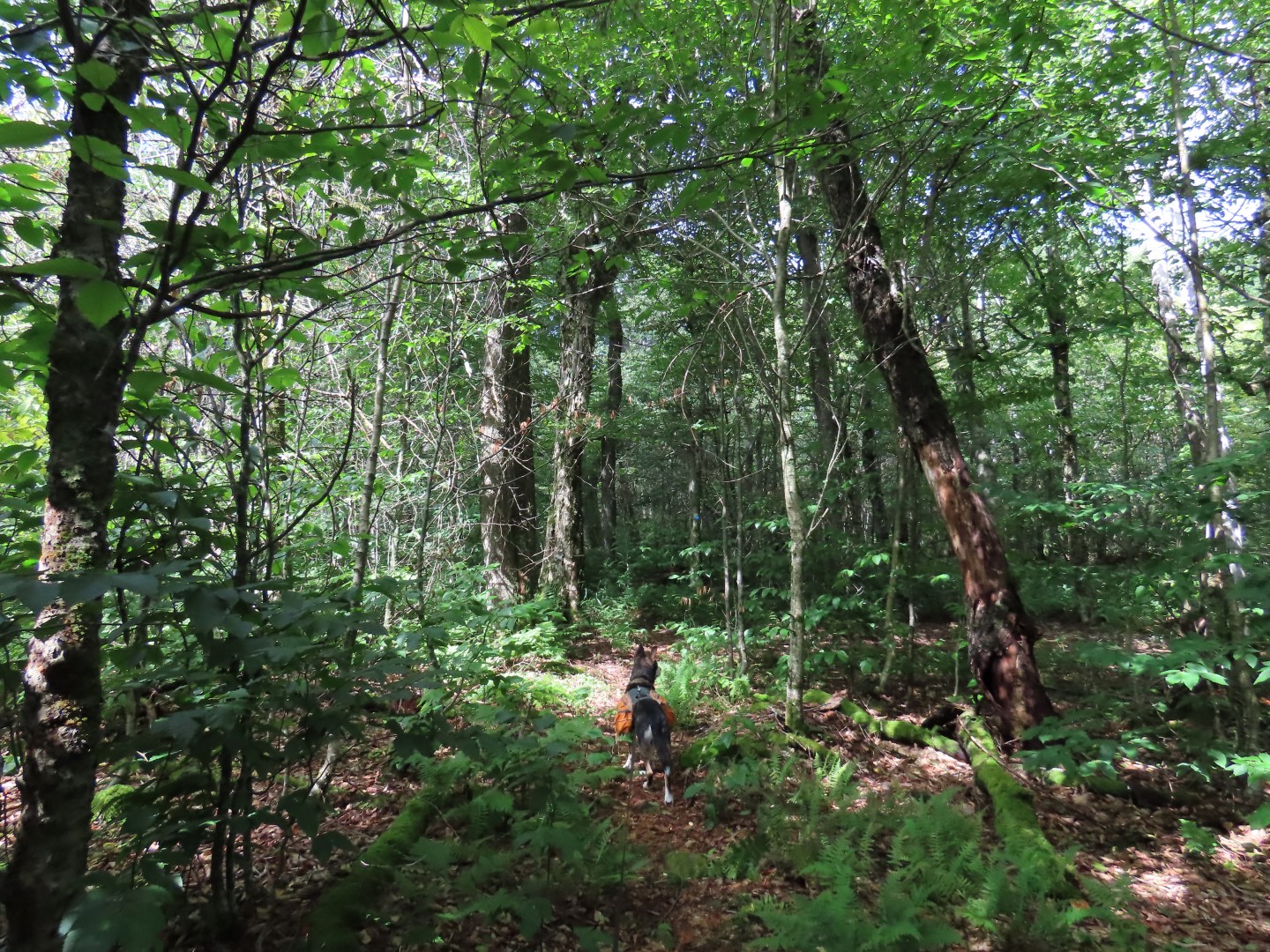 |
| At the top it's a combination of level and rolling terrain with more mud, some overgrowth and some blow downs but everything still defined, marked and passable. |

 |
| Passing the Huckleberry Loop which I heard can be quite overgrown - it was at this intersection. |
 |
| Continuing on the Dry Brook Ridge Trail. |


 |
| Coming up on the first overlook. |

 |
| Continuing on to the second overlook, the trail becomes more rugged. |


 |
| Second overlook, 5 miles out from the parking lot. |


 |
| Heading back. |


 |
| Stopping at the shelter to take a break. |
 |
| Looks like a whole family took shelter here. |


 |
| Passing back by the trail register. |
 |
| All those other cars were for the fire tower since I had seen nobody else on the trail at all. |


