ABOUT THE PARK:
DIRECTIONS:
GPS Coordinates 41.35833, -73.92578
 |
| Pull-out parking along Route 403 for about 3 cars. |
TRAIL MAP:
HIKE DISTANCE: 8.6 miles
THE HIKE:
 |
| The unmarked trail starts from the pull-out parking area. |
 |
| It's a very clear and easy to follow trail. |
 |
| At the small cairn on the left, left on yellow. |
 |
| Just a short distance ahead, left at the huge cairn ... |
 |
| ... on the green White Rock Trail. |
 |
| The building straight ahead on top of the hill that really stands out when there in person is Graymoor, where we would be heading shortly. The green trail ends at White Rock with views ... |
 |
| ... of the Hudson River and the Governor Mario M. Cuomo Bridge. |
 |
| The trail continues as an unmarked path. |
 |
| A small loop starts at this cairn. |
 |
| It's very overgrown with small pine trees and there is nothing to see. |
 |
| Heading back to White Rock. |
 |
| Retracing on green. |
 |
| Left to continue on yellow. |
 |
| Left on the Appalachian Trail. We'd be coming back here later and taking the AT uphill to the right. |
 |
| First crossing Route 403 at the Appalachian Market ... |
 |
| ... then at the stop light (no pedestrian crossing light, just have to wait for the light to turn red for the cars) cross over busy Route 9. |
 |
| The building up ahead to the right is Graymoor. |
 |
| Coming out at Graymoor where there is supposed to be parking for the Appalachian Trail. I wanted to check this out to see if I could determine exactly where that is because I could not tell "driving" it in Google Maps. |
 |
| Couldn't tell by walking around either but I believe it is on the grass the other side of the road from that building. I have emailed Graymoor to confirm since I don't want to park there if I am not sure. I have the next part of the Applachian Trail from here to Canopus Hill to do and there is no other parking along the way. |
 |
| In the meantime, admiring some spring bulbs coming up around that building. |
 |
| Retracing on the AT. |
 |
| Coming up on the road crossing at the Appalachian Market where you could stop for a snack but I didn't need anything so I kept going. |
 |
| Crossing over the yellow trail (the three yellow markers are barely visible on the right) to continue a steep climb (no scrambles) on the AT. |
 |
| At the top, turning right on blue. |
 |
| Blue switchbacks down much more gently than the ascent on the AT. |
 |
| Just after passing this pond ... |
 |
| .. right to the beginning of yellow when blue turns left. |
 |
| Just a short distance on yellow to a fork where we turned left on unmarked. |
 |
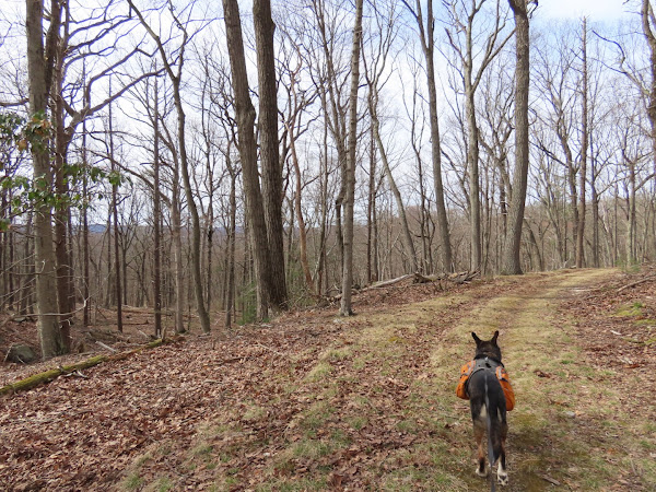
| This is a lovely smooth woods road with nice winter views that lollipops back to yellow. |
 |
| Left at the fork to hike the loop clockwise. |
 |
| Passing Lake Lucretia |
 |
| At the T-intersection, right to continue the loop. I am pretty sure just about everything to the left is private property for Castle Rock. |
 |
| Passing by where we started the loop. |
 |
| Eastern Phoebe |
 |
| The second wild turkey I saw but I was fast enough to zoom in to grab this one. They are darned fast! |
 |
| Back at yellow, left to continue on yellow. |
 |
| At that small cairn on the left, turning left on the unmarked path back to Route 409. |
 |
| Tufted Titmouse |


