

Long Pond Woods Wildlife Refuge - Audubon Society of Rhode Island
Ell Pond Preserve - The Nature Conservancy
Narragansett Trail - Connecticut Park and Forest Association - An extension of the blue-blazed Connecticut Narragansett Trail into Rhode Island, which is blazed yellow in Rhode Island.
DIRECTIONS:
GPS Coordinates 41.49979, -71.76014
 |
| Ashville Pond Parking |
TRAIL MAP:
Long Pond Woods Wildlife Refuge Trail Map - Audubon Society of Rhode Island (does not include the section of trail from Ashville Pond)
DISTANCES:
I had this trip planned months ago as an add-on on the way home from an REI hiking trip in Maine that I had registered for. REI then cancelled all of their adventure trips but I kept the Rhode Island part and so glad I did - it was so much fun!
Friday, June 27, 2025
HIKE: Long Pond Woods and Ell Preserve - 5.2 miles
HIKE: Arcadia Management Area Stepstone Falls - 6.2 miles
HIKE: Turner Reservoir Trail - 3.4 miles
Saturday, June 28, 2025
HIKE - Colt State Park Hiking Trails - 1.7 miles
ZUMBA - In-person Zumba with Nellie G
BIKE - Easy Bay Bike Path with Colt State Park Bike Trails - 32.4 miles
THE HIKE:
 |
| The Long and Ell Pond/Narragansett Trail heads into the woods towards ... |
 |
| Ashville Pond |
 |
| There is a rocky section of trail that is nothing like the rocky sections we are used to. The rocks are much bigger. |

 |
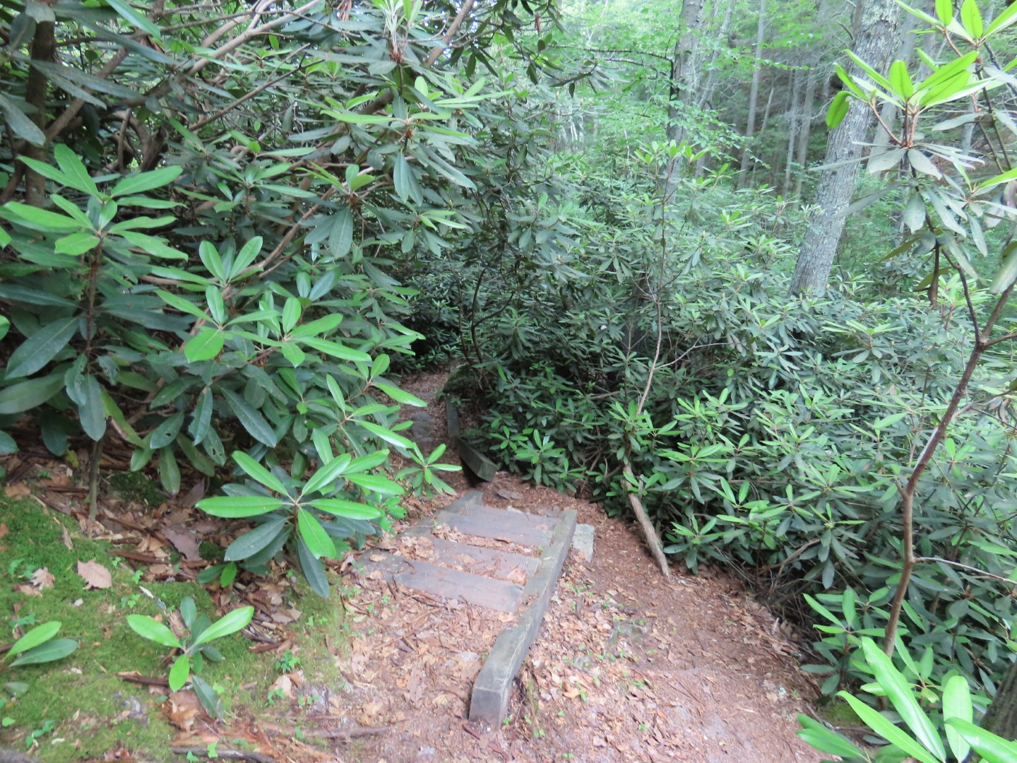
| The trail can be a bit overgrown at times. |


 |
| The old stone farm walls are also made of much larger rocks. |


 |
| The mountain laurel was shot except for this one remaining bloom. Must have been pretty a couple of weeks ago. |

 |
| This is the parking lot to the right on the map attachment that the trail passes by. |


 |
| Long Pond comes into view and the trail becomes more challenging with increasingly steeper ups and downs. |

 |
| In all, the trail descended steeply and ascended steeply three different times with the last one being the most challenging. |
 |
| A glimpse of Long Pond. |

 |
| Rhododendron about to bloom. |
 |
| Only saw one in the distance that had opened up. |


 |
| Crossing a connection between Ell and Long Ponds. |
 |
| The final push uphill. (But you have to do it all over again on the way back.) |
 |
| At the top at the You-Are-Here map, an unmarked trail leaves to the right. |


 |
| This might be the end of the trail but to the right are massive boulders. |
 |
| You need to find a way up to the top.... |
 |
| ... to the views of Long Pond. |
 |
| Long Pond |
 |
| Trying to remember how I got up so I could get back down. |

 |
| Back at that map ... |
 |
| ... the trail descends steeply to the left but to the right a trail to Ell Pond. |
 |
| There are a lot of herd paths so it was hard to find the historical marker but I happened upon it. |
 |
| This is about all you can see of Ell Pond. |
 |
| Heading back on the yellow-blazed trail. |


 |
| They are always lurking at the steep sections! |

 |
| This snippet of Long Pond is much prettier when the sun is out. |

 |
| Ashville Pond with sunshine and blue skies. |
 |
| Back at the parking lot up ahead. |