ABOUT THE PARKS:
Rocky Brook Trail - New Jersey Trails Association
Cedar Ridge Preserve - D&R Greenway Land Trust
DIRECTIONS:
GPS Coordinates 40.383614, -74.817106
 |
| Pull out parking along Lambertville Hopewell Turnpike with room for about 3 cars. With other parking lot options available for this hike, I figured the place with the least available parking spots would be my best bet to avoid having to navigate a potentially full parking lot at the end of the hike in this time of social distancing. My car was the only car at the beginning of the hike and there was only one other car at the end of the hike, the only other hikers I ran into the entire time. |
TRAIL MAP:
Rocky Brook Trail - New Jersey Trails Association
Cedar Ridge Preserve - New Jersey Trails Association
HIKE DISTANCE: 8.6 miles
THE HIKE:
In order to avoid popular, overcrowded parks I combined two smaller, less popular hikes with a low traffic road walk.
 |
| I see these notices every day, every park, every surrounding state. I won't be going to any of them. There are alternatives. |
 |
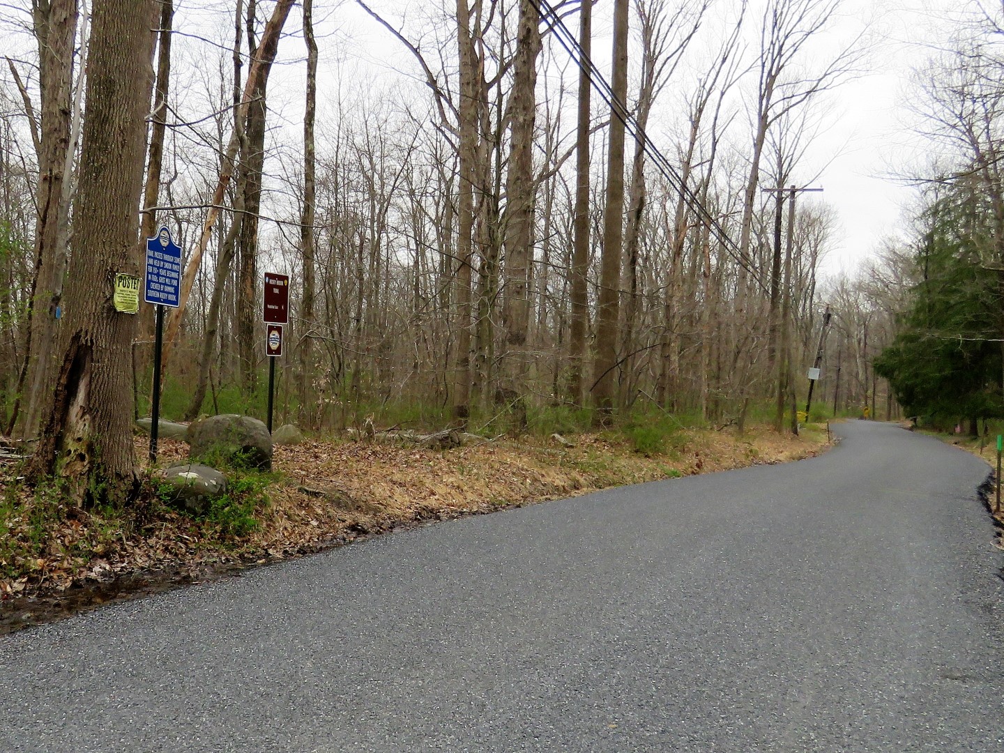
| Trailhead at the parking pullout. |
 |
| Immediately there are two rock hops, the second just a few steps after the first. |
 |
| Looking back at Lambertville Hopewell Turnpike between rock hops. |
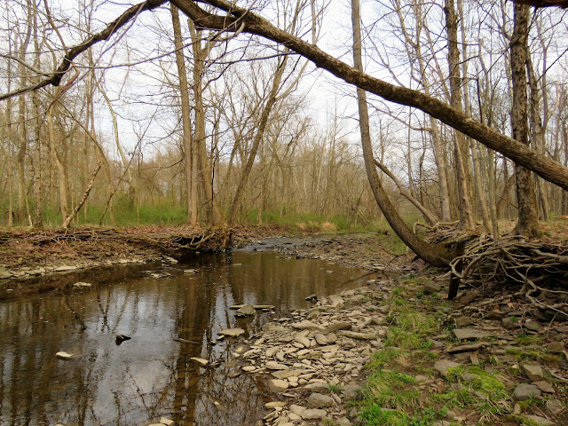 |
| Rocky Brook |
 |
| The trail mostly follows along Rocky Brook. |
 |
| A bench, but not a good idea to touch them at this time. |
 |
| The bench overlooks a little waterfall. |
 |
| I had read somewhere (can't remember where) that these spruce trees are remnants of an old Christmas tree farm. |
 |
| Blue crosses over Stony Brook, red continues straight. We took red and would be taking blue on the return route. |
 |
| When red rock hops over Rocky Brook ... |
 |
| ... it ends at blue where we continued right. |
 |
| The trail then starts to veer away from Rocky Brook and comes out at Snydertown Road where we turned right. |
 |
| Snydertown Road |
 |
| Turning right on Stony Brook Road. |
 |
| Stony Brook Road |
 |
| An old bridge over Stony Brook. The plaque says "Mercer County Line Bridge ~ 1938" while the plaque on the other side says "Hunterdon County Line Bridge..." with the rest covered by the guardrail. |
 |
| Another old bridge - "Inter County Bridge ~ 1921" |
 |
| After about 1.5 miles of road walking, left into Cedar Ridge Preserve. |
 |
| Empty parking lot at about 8:30 am. |
 |
| Straight through the parking lot to the trails. |
 |
| The first thing I saw was a red-tailed hawk but in taking pictures, I never realized until I uploaded them that this picture had been photo bombed by a very daring blue jay. |
 |
| We did a clockwise loop of the outer trails turning left on the mowed path along the meadow. |
 |
| I think this is a different red-tailed hawk since it was having a "conversation" with another one, probably the one we had just seen. |
 |
| After looping around the meadow, a left over this footbridge ... |
 |
| ... leads to trails through the woods. |
 |
| Maps throughout at intersections. |
 |
| These trails were very wet and muddy. |
 |
| According to A Cultural Landscape History of the Cedar Ridge Preserve: "White Oak (Quercus Alba) pasture or “wolf” tree at the northwestern part of AU 6.Note branch of Stony Brook on right. The tree is calculated to be about 235 years old, and was probably a sapling in about 1780. This area was still pasture in 1953, but was reverting to second growth forest by 1972." |
 |
| Coming up on the Van Dyke Road parking lot at about 9:30 am there was only one car but I never saw anyone else. |
 |
| After looping through the parking lot, heading back along the other side of the preserve. |
 |
| Stony Brook Tributary |
 |
| Did I mention these trails were really wet and muddy? |
 |
| Lots of birds everywhere. |
 |
| Back at the Rocky Brook Road parking lot which was still empty. |
 |
| It would have been a shorter but busier road walk to turn left but we
turned right for the longer route preferring to end with the Rocky Brook
Trail instead of traffic on the Lambertville Hopewell Turnpike. |
 |
| Left on Snydertown Road where a couple of bikers passed us. |
 |
| Left on the Rocky Brook Trail. |
 |
| Keeping straight on blue when red goes left. |
 |
| When the only hikers we saw the entire hike were coming towards us, we stepped way more than 6 feet off the trail to let them pass. |