ABOUT THE PARK:
DIRECTIONS:
GPS Coordinates 40.03057, -78.63547
 |
Picnic Area #1 Parking
|
TRAIL MAP:
HIKE DISTANCE: 3.5 miles
THE HIKE:
Drive 'n hike New Jersey to Missouri to help my mother who recently had hip replacement surgery. This is hike 1 of 2 on the day 1. Where I usually would drive 4 hours, hike 8-10 miles, then drive another 4 hours, I broke this down into shorter drives with two shorter hikes because of where I am with working my way back to full speed after my hip replacement surgery.
 |
I chose this park because it was supposed to be partly cloudy. It was until the moment I arrived. I waited about half an hour and the rain stopped.
|
 |
The hike around Shawnee Lake on the Lake Shore Trail starts with a road walk from the parking lot.
|
 |
Crossing two bridges ...
|
 |
... then a right towards the beach.
|
 |
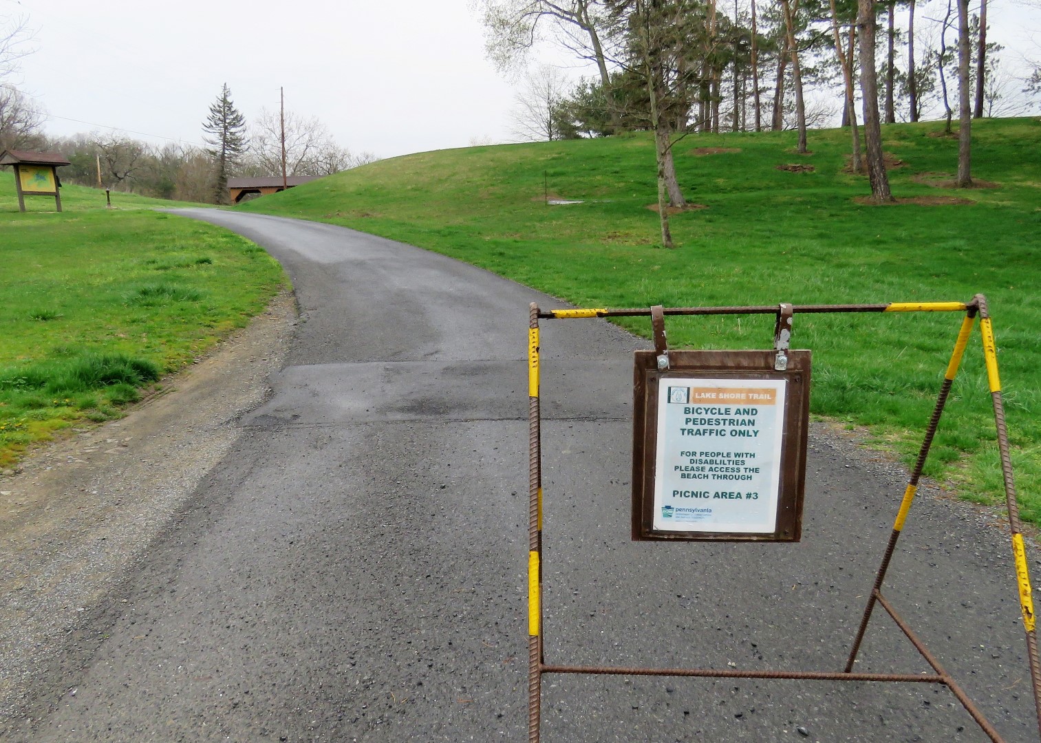
The first sign confirming this is the way.
|
 |
Shawnee Lake
|
 |
Just beyond the beach the pavement ends and it is crushed gravel multi-use trail the rest of the way around.
|
 |
A proper trail sign.
|
 |
After a short stretch on a maintenance road ...
|
 |
... the trail turns right ...
|
 |
... and crosses the dam.
|
 |
View from the dam.
|
 |
Didn't know that common mergansers napped while floating in water.
|
 |
In the distance, one of the bridges we crossed at the beginning of the hike.
|
 |
Back at the parking lot.
|