ABOUT THE PARKS:
Mason-Dixon Trail - The Mason-Dixon Trail System
High Point Scenic Vista & Recreation Area - York County Parks
Native Lands Park - York County Parks
Klines Run Park - Susquehanna Riverlands
DIRECTIONS:
GPS Coordinates 39.958205, -76.483564
 |
| Safe Harbor Water and Power Company's Lock 2 Boat Launch Parking |
TRAIL MAPS:
Mason-Dixon Trail Maps - Mason-Dixon Trail
High Point Scenic Vista & Recreation Area - York County Parks
Native Lands Heritage Trail Guide - York County Parks
HIKE DISTANCE: 12.65 miles
THE HIKE:
Some things to keep in mind: This hike was mostly full exposure and it got pretty hot on a sunny, 60-degree day. But in the morning when it was in the 40's, the whipping wind on the open meadows was very cold.
 |
| Walk out of the parking lot and turn right at the light blue Mason-Dixon Trail blaze for a .4 mile road walk. The large building on the left is Shank's Mare Outfitters where guided hiking tours in this area are offered. |
 |
| Views of the Susquehanna River along the way. |
 |
| Spring is arriving! |
 |
| At the intersection where Route 624 comes in from the left, veer left crossing Route 624 ... |
 |
| Then straight at the end of the guardrail into a grove of trees where there is an easy stream rock hop just ahead. |
 |
| The trail climbs up. |
 |
| An old cemetery off to the right. |
 |
| Winter views of the Susquehanna River at the top. |
 |
| The trail descends to Cabin Creek. |
 |
| Then climbs up again at a vertical rock face on the left called Devil's Hole. |
 |
| Then back down to Cabin Creek. |
 |
| The trail then becomes a mowed path. |
 |
| Heading towards Route 624 ... |
 |
| ... veer left to a gravel road ... |
 |
| ... then left on Route 624 to cross Cabin Creek on the road bridge. There isn't much room to walk and cars zoom by much faster than the 40 mph speed limit. |
 |
| A historical marker along the way. I never get to read these when I drive by since there is never a place to pull over to park. Hiking by you can actually stop to read them. |
 |
| It's a .4 mile road walk to a left on Bank Hill Road. |
 |
| Bank Hill Road is a dead end residential road with no traffic. |
 |
| After a house with cute bird houses along the road, right into Native Lands Park. |
 |
| The Mason-Dixon Trail is also the Native Lands Heritage Trail through this park. |
 |
| A switchback comes out on the mowed path across open fields. |
 |
| A picnic table up ahead with views of the Susquehanna River ... |
 |
| ... where we took a break. |
 |
| The brochure (link above under Trail Maps) explains the various numbered posts. |
 |
| A mowed path to the right leads to the Dritt Family Cemetery. Their history is outlined in the brochure. |
 |
| This is the best maintained old cemetery I have ever seen. It almost looked new. |
 |
| Back on the trail across the fields. |
 |
| Ruins of an 1800's-era farmstead on the left. |
 |
| The middle hump on the horizon is our destination, High Point Scenic Vista and Recreation Area. |
 |
| Leaving Native Lands Park and entering Kline's Run Park. |
 |
| At Kline's Run Park the trail comes out of the woods onto a disc golf field and the blazes abruptly end. It's a little confusing where to go. Going straight ahead across the paved path through the trees to the paved path (it will loop around from the right), the blazes pick back up. |
 |
| Now the blazes lead to a bridge across Kline's Run. The trail veers left along the treeline the other side of the bridge, then turns right uphill but there are no turn blazes so you need to watch for it. |
 |
| The trail then follows along a driveway on the left and a fence on the right. |
 |
| Coming out on Klines Run Road, the trail turns left for a mostly uphill 1.3 mile road walk. |
 |
| There is very little traffic on this road and it passes by some old homes that have been restored or are in the process of restoration so it's a pretty interesting road walk. |
 |
| When Klines Run Road veers left, keep straight on Trinity Church Road. |
 |
| This old cemetery appears to be in someone's yard ... |
 |
| ... so I zoomed in from the road for a couple of shots. |
 |
| Welcome signs of spring. |
 |
| At the intersection with Knights View Road the Mason Dixon Trail turns right through a fence but we would be returning that way. For now we continued through the intersection ... |
 |
| ... to the parking lot for High Point Vista on the right a short distance ahead. |
 |
| We took the Heritage Trail at the kiosk which is made out of that spongy track surface which has some give and is very comfortable to walk on. |
 |
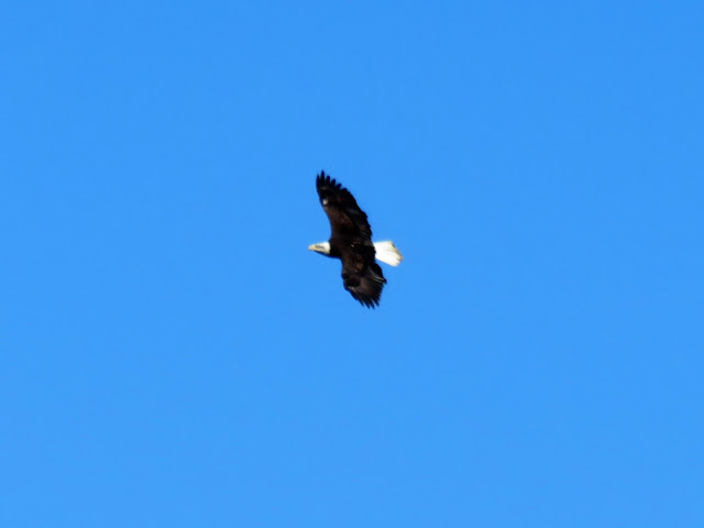
| A bald eagle soaring overhead. |
 |
| The trail comes around to views of the Susquehanna River... |
 |
| and countryside horse pastures. |
 |
| Looping around to where the Mason-Dixon Trail crosses over. |
 |
| View from the intersection with the Mason-Dixon Trail. |
 |
| Right on the Mason-Dixon Trail to High Point Vista. |
 |
| Continuing on the Mason-Dixon Trail which is now a mowed path. |
 |
| Crossing the Heritage Trail where we passed by earlier. |
 |
| Where the Mason-Dixon Trail continues straight, we turned right on the mowed path of the East Meadow Trail. |
 |
| From the East Meadow Trail we could see people walking on the Heritage Trail up above. |
 |
| Since there was nobody else on the East Meadow Trail, we took a break right on the trail. |
 |
| Continuing on the East Meadow Trail. |
 |
| The East Meadow Trail comes out on the Heritage Trail where we turned left and repeated a short section back to the intersection... |
 |
| ... where we then turned left on the Mason-Dixon Trail. |
 |
| The parking lot on the right where we started but now keeping along the fence ... |
 |
| ... to a left at the intersection to retrace the 1.3 mile road walk. |
 |
| This time that long road walk is downhill with nice views of the Susquehanna River. |
 |
| Passing by that driveway ... |
 |
| ... to turn right on the trail between that driveway and the fence. |
 |
| Coming back out at Kline's Run Park |
 |
| From the Native Lands Heritage Trail, looking back at the High Point Heritage Trail where you can see people (the black dots) walking. |
 |
| Right on Route 264 for that unpleasant road walk part. |
 |
| It did seem to be better on this side and with more traffic this time of day, they tended to drive slower. So at this point I needed to decide if I wanted to turn right after the bridge and go up and down those two steep hills on pleasant trails or keep straight for a shorter, flat, more unpleasant road walk. We were getting pretty hot and tired so I opted to go straight. |
 |
| You do have to walk on the road since it's all private property from the road to the river. |
 |
| After Route 624 veers right, the Mason-Dixon Trail comes in from the right. |
 |
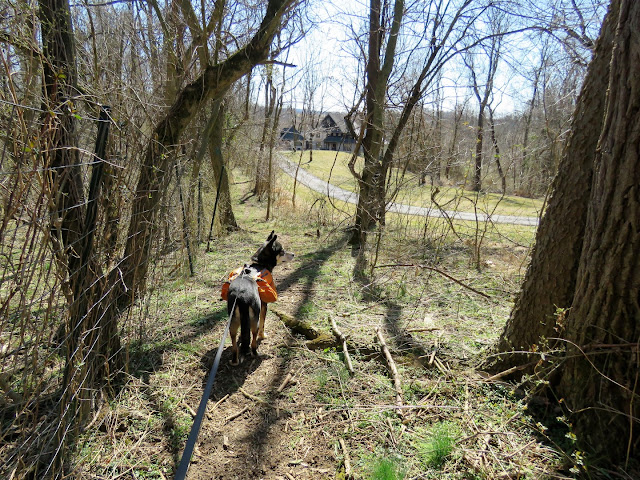
| Just before the parking lot we were able to leave the road and walk on the grass on the Safe Harbor Water and Power Company property but that might not have been such a good plan since this area is loaded with feathers and waterfowl poop, much to Brodie's delight. |


